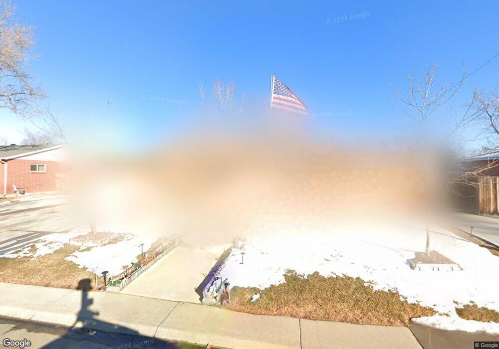
6442 Kipling St Arvada, CO 80004
Alta Vista NeighborhoodEstimated Value: $594,926 - $660,000
5
Beds
3
Baths
2,582
Sq Ft
$245/Sq Ft
Est. Value
About This Home
This home is located at 6442 Kipling St, Arvada, CO 80004 and is currently estimated at $632,482, approximately $244 per square foot. 6442 Kipling St is a home located in Jefferson County with nearby schools including Fremont Elementary School, Oberon Middle School, and Arvada West High School.
Ownership History
Date
Name
Owned For
Owner Type
Purchase Details
Closed on
Jul 29, 2011
Sold by
Burd Family Living Revocable Trust
Bought by
Vannguyen Hoan and Nguyen Lan Thi
Current Estimated Value
Home Financials for this Owner
Home Financials are based on the most recent Mortgage that was taken out on this home.
Original Mortgage
$183,920
Outstanding Balance
$127,106
Interest Rate
4.53%
Mortgage Type
New Conventional
Estimated Equity
$505,376
Purchase Details
Closed on
May 20, 1996
Sold by
Burd Virle B and Burd Edith M
Bought by
Burd Virle B and Burd Edith
Create a Home Valuation Report for This Property
The Home Valuation Report is an in-depth analysis detailing your home's value as well as a comparison with similar homes in the area
Home Values in the Area
Average Home Value in this Area
Purchase History
| Date | Buyer | Sale Price | Title Company |
|---|---|---|---|
| Vannguyen Hoan | $229,900 | Fidelity National Title Insu | |
| Burd Virle B | -- | -- | |
| Burd Virle B | -- | -- |
Source: Public Records
Mortgage History
| Date | Status | Borrower | Loan Amount |
|---|---|---|---|
| Open | Vannguyen Hoan | $183,920 |
Source: Public Records
Tax History
| Year | Tax Paid | Tax Assessment Tax Assessment Total Assessment is a certain percentage of the fair market value that is determined by local assessors to be the total taxable value of land and additions on the property. | Land | Improvement |
|---|---|---|---|---|
| 2024 | $3,073 | $38,377 | $18,119 | $20,258 |
| 2023 | $3,073 | $38,377 | $18,119 | $20,258 |
| 2022 | $2,329 | $30,733 | $13,041 | $17,692 |
| 2021 | $3,060 | $31,617 | $13,416 | $18,201 |
| 2020 | $2,698 | $27,955 | $10,411 | $17,544 |
| 2019 | $2,661 | $27,955 | $10,411 | $17,544 |
| 2018 | $2,567 | $26,212 | $7,220 | $18,992 |
| 2017 | $2,349 | $26,212 | $7,220 | $18,992 |
| 2016 | $2,039 | $21,432 | $6,595 | $14,837 |
| 2015 | $1,770 | $21,432 | $6,595 | $14,837 |
| 2014 | $1,770 | $17,480 | $5,731 | $11,749 |
Source: Public Records
Map
Nearby Homes
- 6457 Lee St
- 6371 Brooks Dr
- 6551 Miller St
- 6648 Lewis St
- 6641 Miller St
- 6393 Moore Ct
- 6209 Brooks Dr
- 6428 Newcombe St Unit A
- 6396 Nelson Ct
- 10693 W 63rd Dr Unit 101
- 10693 W 63rd Dr Unit 102
- 6816 Miller St
- 10710 W 66th Ave
- 10785 W 63rd Place Unit 202
- 10785 W 63rd Place Unit 105
- 10731 W 63rd Ave Unit A
- 9369 W 67th Ave
- 6069 Lee St
- 6350 Oak St Unit 306
- 6350 Oak St Unit 305
- 6432 Kipling St
- 6452 Kipling St
- 6443 Iris Way
- 6439 Iris Way
- 6449 Iris Way
- 6422 Kipling St
- 6462 Kipling St
- 6433 Kipling St
- 6443 Kipling St
- 6433 Iris Way
- 6459 Iris Way
- 10002 W 64th Place
- 6453 Kipling St
- 6412 Kipling St
- 6472 Kipling St
- 6429 Iris Way
- 6469 Iris Way
- 6446 Iris Way
- 6434 Kline St
- 6463 Kipling St
Your Personal Tour Guide
Ask me questions while you tour the home.