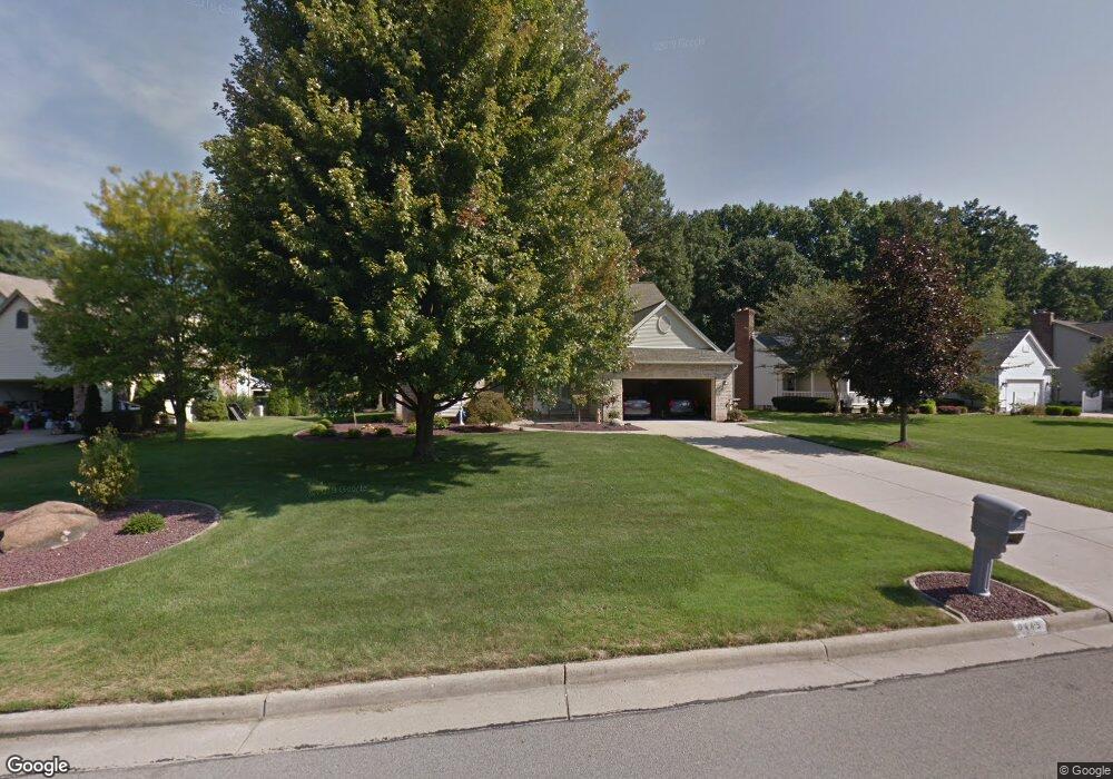
6445 Tara Dr Youngstown, OH 44514
Estimated Value: $344,000 - $380,000
4
Beds
3
Baths
2,421
Sq Ft
$152/Sq Ft
Est. Value
About This Home
This home is located at 6445 Tara Dr, Youngstown, OH 44514 and is currently estimated at $367,947, approximately $151 per square foot. 6445 Tara Dr is a home located in Mahoning County with nearby schools including Poland Union Elementary School, Poland Middle School, and Poland Seminary High School.
Ownership History
Date
Name
Owned For
Owner Type
Purchase Details
Closed on
Jan 27, 2020
Bought by
Fisher Delores V
Current Estimated Value
Purchase Details
Closed on
Aug 25, 2000
Sold by
Reniff Marjorie F
Bought by
Fisher Fred R and Fisher Delores
Purchase Details
Closed on
Nov 18, 1994
Sold by
D J Builders Inc
Bought by
Reniff Marjorie F
Purchase Details
Closed on
Oct 4, 1993
Bought by
M O S Devel Co
Create a Home Valuation Report for This Property
The Home Valuation Report is an in-depth analysis detailing your home's value as well as a comparison with similar homes in the area
Home Values in the Area
Average Home Value in this Area
Purchase History
| Date | Buyer | Sale Price | Title Company |
|---|---|---|---|
| Fisher Delores V | -- | -- | |
| Fisher Fred R | $183,000 | -- | |
| Reniff Marjorie F | $164,500 | -- | |
| M O S Devel Co | -- | -- |
Source: Public Records
Tax History Compared to Growth
Tax History
| Year | Tax Paid | Tax Assessment Tax Assessment Total Assessment is a certain percentage of the fair market value that is determined by local assessors to be the total taxable value of land and additions on the property. | Land | Improvement |
|---|---|---|---|---|
| 2024 | $5,065 | $107,600 | $10,200 | $97,400 |
| 2023 | $5,036 | $107,600 | $10,200 | $97,400 |
| 2022 | $4,064 | $74,590 | $10,250 | $64,340 |
| 2021 | $4,071 | $74,590 | $10,250 | $64,340 |
| 2020 | $4,086 | $74,590 | $10,250 | $64,340 |
| 2019 | $4,137 | $69,070 | $9,490 | $59,580 |
| 2018 | $3,929 | $69,070 | $9,490 | $59,580 |
| 2017 | $3,730 | $69,070 | $9,490 | $59,580 |
| 2016 | $3,602 | $62,630 | $9,490 | $53,140 |
| 2015 | $3,534 | $62,630 | $9,490 | $53,140 |
| 2014 | $3,545 | $62,630 | $9,490 | $53,140 |
| 2013 | $3,505 | $62,630 | $9,490 | $53,140 |
Source: Public Records
Map
Nearby Homes
- 1738 Island Dr
- 1827 Alverne Dr
- 1804 Alverne Dr
- 1894 Lealand Ave
- 8360 South Ave
- 1859 Mathews Rd
- 0 Mathews Rd Unit 5149232
- 0 Mathews Rd Unit 5143059
- 2035 Woodward Ave
- 1890 Mathews Rd
- 43 Venloe Dr
- 34 Venloe Dr
- 928 Edenridge Dr
- 857 Maple Ridge Dr
- 1 Michigan Ave
- 0 Oles Ave
- 833 Maple Ridge Dr
- 829 Pearson Cir
- 6278 Appleridge Dr
- 6229 Appleridge Dr