Estimated Value: $354,000 - $498,948
3
Beds
2
Baths
2,089
Sq Ft
$210/Sq Ft
Est. Value
About This Home
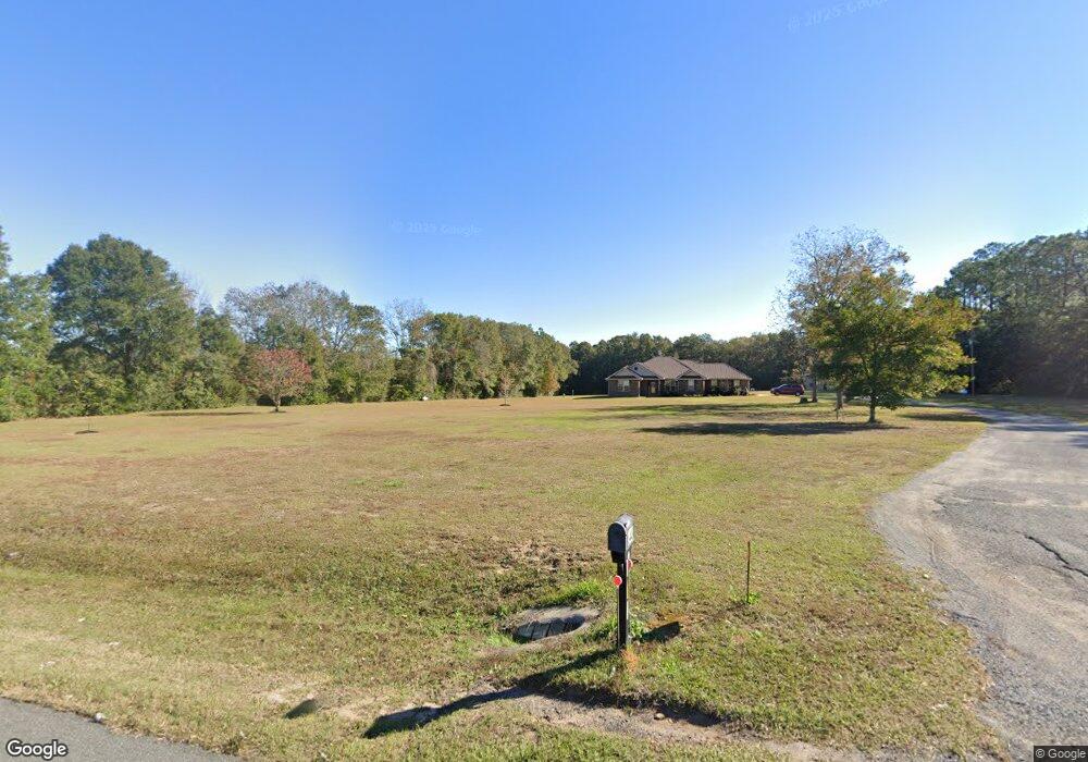
This home is located at 6449 Highway 189 N, Baker, FL 32531 and is currently estimated at $439,487, approximately $210 per square foot. 6449 Highway 189 N is a home with nearby schools including Baker School.
Ownership History
Date
Name
Owned For
Owner Type
Purchase Details
Closed on
Sep 4, 2025
Sold by
Burlison Dixie
Bought by
Burlison Dixie and Burlison Timmy Wayne
Current Estimated Value
Purchase Details
Closed on
Jan 10, 2008
Sold by
Lewis June Thompson
Bought by
Burlison Timmy W and Burlison Dixie
Home Financials for this Owner
Home Financials are based on the most recent Mortgage that was taken out on this home.
Original Mortgage
$36,000
Interest Rate
5.94%
Mortgage Type
Unknown
Purchase Details
Closed on
Nov 1, 2005
Sold by
Lewis Charles E and Lewis June A
Bought by
Lewis Charles E and Lewis June A
Create a Home Valuation Report for This Property
The Home Valuation Report is an in-depth analysis detailing your home's value as well as a comparison with similar homes in the area
Home Values in the Area
Average Home Value in this Area
Purchase History
| Date | Buyer | Sale Price | Title Company |
|---|---|---|---|
| Burlison Dixie | $100 | None Listed On Document | |
| Burlison Timmy W | $55,000 | Title Offices Llc | |
| Lewis Charles E | -- | None Available |
Source: Public Records
Mortgage History
| Date | Status | Borrower | Loan Amount |
|---|---|---|---|
| Previous Owner | Burlison Timmy W | $36,000 |
Source: Public Records
Tax History Compared to Growth
Tax History
| Year | Tax Paid | Tax Assessment Tax Assessment Total Assessment is a certain percentage of the fair market value that is determined by local assessors to be the total taxable value of land and additions on the property. | Land | Improvement |
|---|---|---|---|---|
| 2024 | $2,029 | $242,713 | -- | -- |
| 2023 | $2,029 | $235,644 | $0 | $0 |
| 2022 | $1,984 | $228,781 | $0 | $0 |
| 2021 | $1,985 | $222,117 | $0 | $0 |
| 2020 | $1,967 | $219,050 | $0 | $0 |
| 2019 | $1,940 | $214,125 | $0 | $0 |
| 2018 | $408 | $35,470 | $0 | $0 |
| 2017 | $416 | $35,470 | $0 | $0 |
| 2016 | $414 | $35,470 | $0 | $0 |
| 2015 | $380 | $34,437 | $0 | $0 |
| 2014 | $406 | $36,250 | $0 | $0 |
Source: Public Records
Map
Nearby Homes
- 1318 John Riley Barnhill Rd
- 1512 Vinson Ray Rd
- 0000 N Sherman Kennedy
- 0 Homestead Rd
- 1704 Cobb Rd
- 6043 Dairy Rd
- 6636 Old River Rd
- 16 acres Sherman Kennedy Rd
- 0000 Sherman Kennedy Rd
- 1424 E F Sanford Rd
- F-10 Long Branch Farm Rd
- F-9 Long Branch Farm Rd
- F-8 Long Branch Farms Rd
- 6150 Sherman Kennedy Rd
- 1921 Cotton Creek Rd
- 924 Hwy C4a
- F-3 Long Branch Farm Rd
- 6224 Old River Rd
- A-1 Long Branch Farm Rd
- 1495 Mccauley Rd
- 6455 Highway 189 N
- 6443 Highway 189 N
- 6448 Highway 189 N
- 6433 Hwy 189 N
- 6467 Highway 189 N
- 6477 Highway 189 N
- 1451 Hester Church Rd
- 1422 Dan Barnes Rd
- 6496 Florida 189
- 6423 Highway 189 N
- 6496 Highway 189 N
- 1454 Sky Ranch Dr
- 6501 Highway 189 N
- 1425 Dan Barnes Rd
- 1450 Dan Barnes Rd
- 6506 Highway 189 N
- 6549 William Gary Johnson Rd
- 1423 Dan Barnes Rd
- 1498 Sky Ranch Dr
- 1443 Dan Barnes Rd