645 Forristall Rd Rindge, NH 03461
Estimated Value: $567,000 - $720,000
3
Beds
3
Baths
2,931
Sq Ft
$227/Sq Ft
Est. Value
About This Home
This home is located at 645 Forristall Rd, Rindge, NH 03461 and is currently estimated at $664,891, approximately $226 per square foot. 645 Forristall Rd is a home located in Cheshire County with nearby schools including Rindge Memorial School, Conant Middle High School, and Conant High School.
Ownership History
Date
Name
Owned For
Owner Type
Purchase Details
Closed on
Mar 1, 2017
Sold by
Boudrieau Dana J and Boudrieau Meredith A
Bought by
Dana & M Boudrieau Ret
Current Estimated Value
Create a Home Valuation Report for This Property
The Home Valuation Report is an in-depth analysis detailing your home's value as well as a comparison with similar homes in the area
Home Values in the Area
Average Home Value in this Area
Purchase History
| Date | Buyer | Sale Price | Title Company |
|---|---|---|---|
| Dana & M Boudrieau Ret | -- | -- |
Source: Public Records
Tax History Compared to Growth
Tax History
| Year | Tax Paid | Tax Assessment Tax Assessment Total Assessment is a certain percentage of the fair market value that is determined by local assessors to be the total taxable value of land and additions on the property. | Land | Improvement |
|---|---|---|---|---|
| 2024 | $11,387 | $449,900 | $54,600 | $395,300 |
| 2023 | $10,326 | $412,400 | $54,600 | $357,800 |
| 2022 | $9,498 | $412,400 | $54,600 | $357,800 |
| 2021 | $9,341 | $412,400 | $54,600 | $357,800 |
| 2020 | $9,258 | $412,400 | $54,600 | $357,800 |
| 2019 | $8,617 | $310,400 | $44,100 | $266,300 |
| 2018 | $8,536 | $310,400 | $44,100 | $266,300 |
| 2017 | $8,440 | $310,400 | $44,100 | $266,300 |
| 2016 | $8,663 | $310,400 | $44,100 | $266,300 |
| 2015 | $8,657 | $310,400 | $44,100 | $266,300 |
| 2014 | $8,192 | $314,700 | $74,000 | $240,700 |
| 2013 | $8,313 | $326,500 | $74,000 | $252,500 |
Source: Public Records
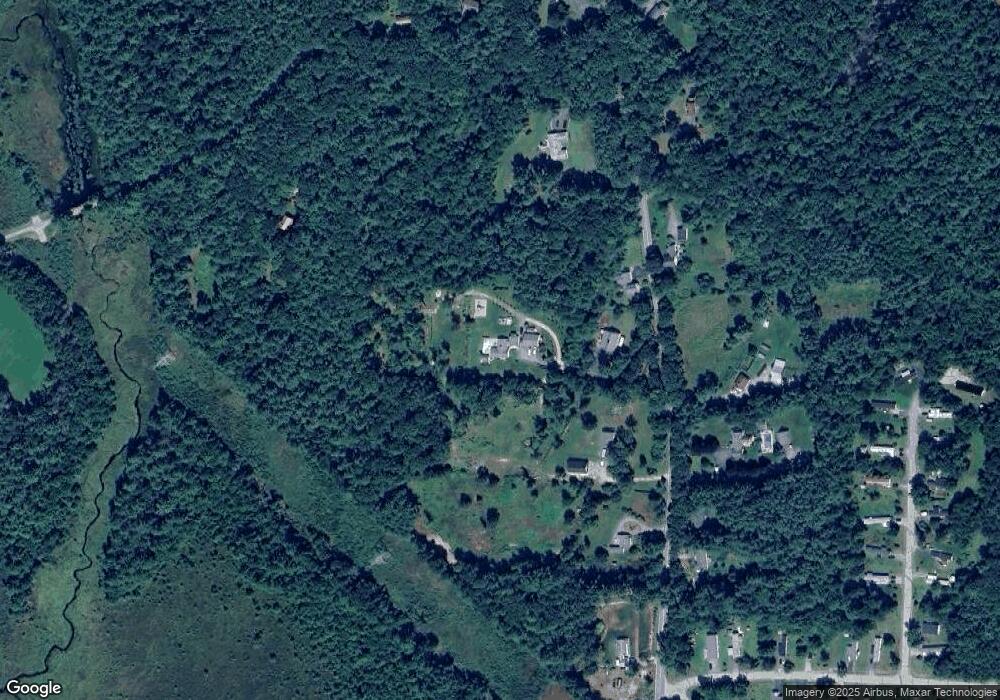
Map
Nearby Homes
- 40 Maple Dr
- Lot 15-0 Saybrook Dr
- Lot 2 Saybrook Dr
- Lot 14 Saybrook Dr
- Lot 1 Saybrook Dr
- 28 Wellington Rd
- 19 Monomonac Terrace
- 307 Main St
- 0 Monomonac Rd W
- 16 2nd St
- 22 Daria Dr
- 0 Thomas Rd Unit 10 5014817
- 35 Hillside Dr
- 39 Willow Ln
- 31 Willow Ln
- 37 Willow Ln
- 41 Willow Ln
- Lot 4 Saybrook Dr
- 145 Monomonac Rd E
- 0 Glenallen St
- 653 Forristall Rd
- 629 Forristall Rd
- 7 Woods Crossing Rd
- 439 Middle Winchendon Rd
- 33 Woods Crossing Rd
- 623 Forristall Rd
- 638 Forristall Rd
- 683 Forristall Rd
- 609 Forristall Rd
- 660 Forristall Rd
- 28 Woods Crossing Rd
- 20 Woods Crossing Rd
- 626 Forristall Rd
- 686 Forristall Rd
- 1 Monadnock View Rd
- 622 Forristall Rd
- 703 Forristall Rd
- 13 Country Meadow Rd
- 13 Country Meadows Dr
- 32 Country Meadows Dr