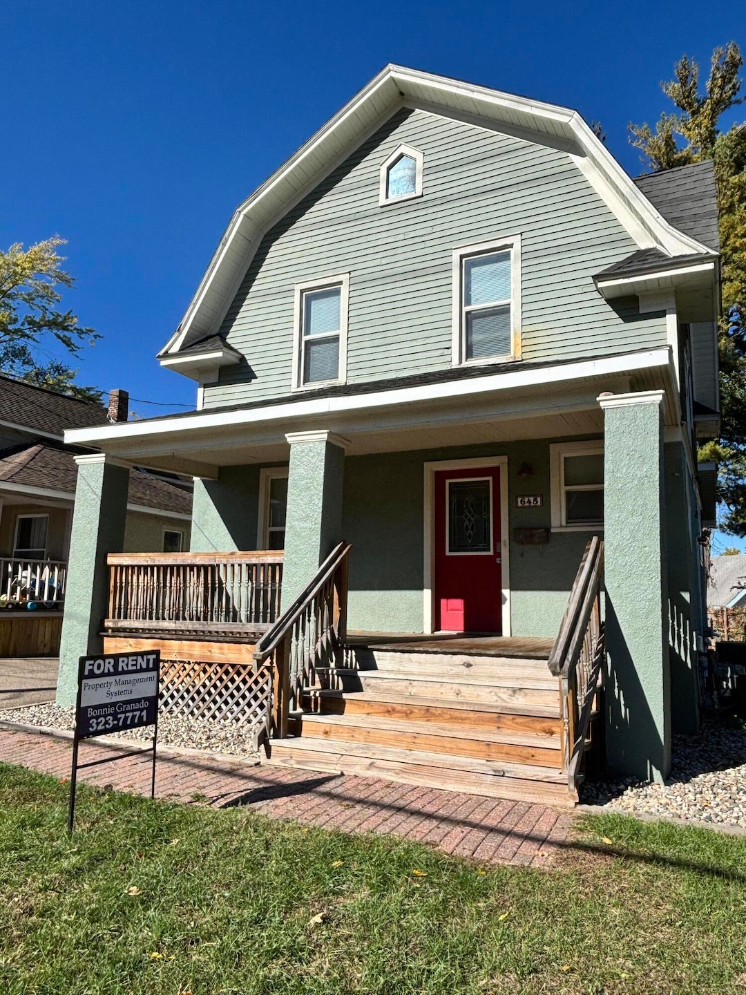
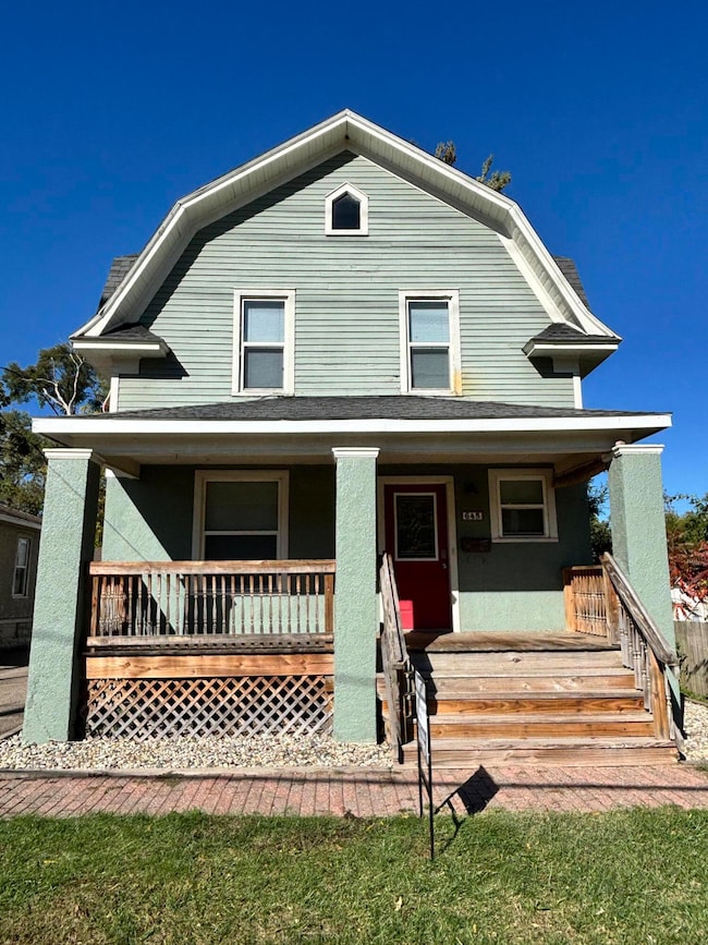
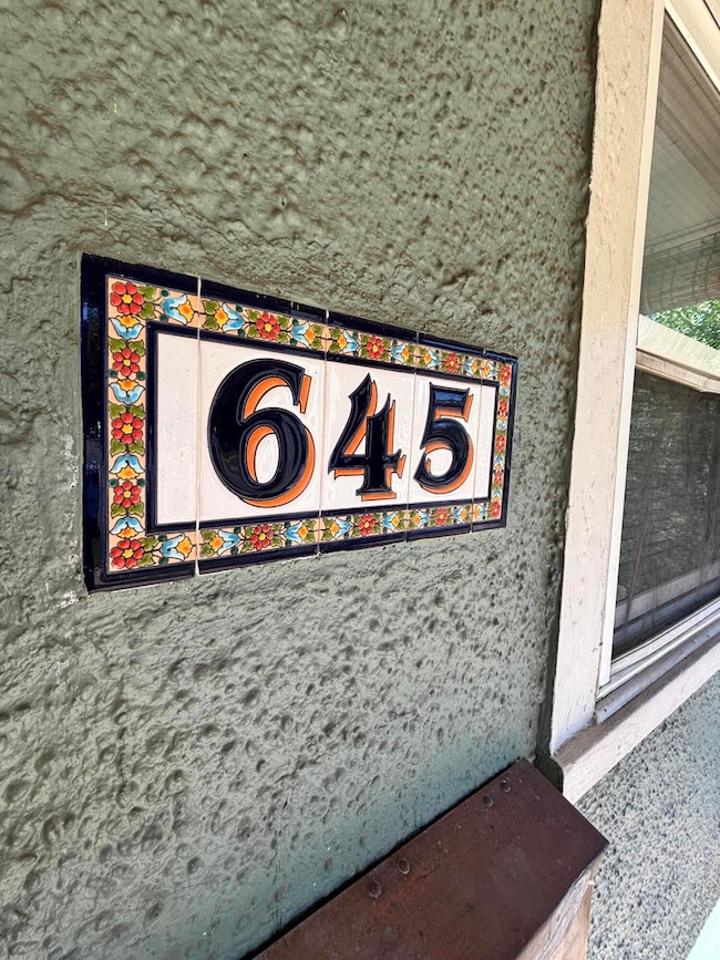
645 Phillips St Kalamazoo, MI 49001
Milwood NeighborhoodHighlights
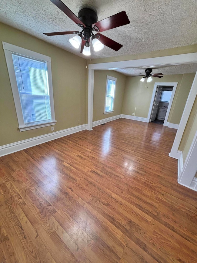
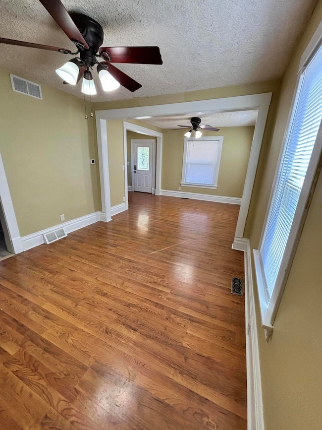
- Wood Flooring
- Forced Air Heating and Cooling System
- Historic Home
- 1 Car Detached Garage
About This Home
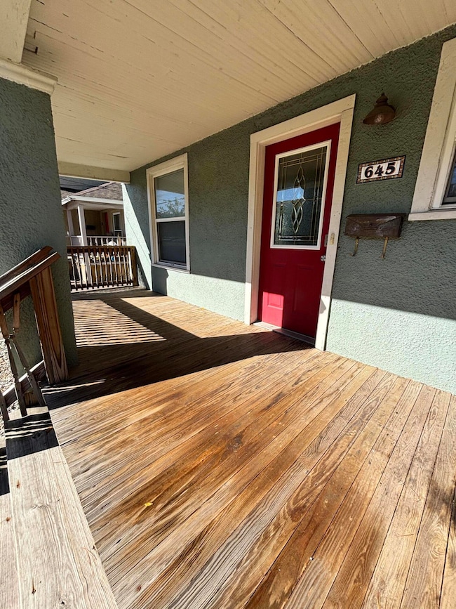
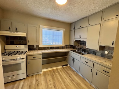
Charming 3 bedroom home on Phillips street across from Heritage Community near Miller and Portage Street. Recently updated. Main floor has a nice size kitchen with new LVP flooring, dining room, living room and bathroom. Upstairs has 3 bedrooms. Clean basement with a laundry hook-up. One car unattached garage. Private patio in back of house. Non- smokers and NO PETS
Property Details
Home Type
- Apartment
Est. Annual Taxes
- $1,445
Year Built
- Built in 1905
Lot Details
- 5,227 Sq Ft Lot
- Historic Home
Parking
- 1 Car Detached Garage
- Off-Street Parking
Interior Spaces
- 1,100 Sq Ft Home
- 2-Story Property
- Electric Range
Flooring
- Wood
- Vinyl
Bedrooms and Bathrooms
- 3 Bedrooms
- 1 Full Bathroom
Basement
- Partial Basement
- Laundry in Basement
Home Security
- Carbon Monoxide Detectors
- Fire and Smoke Detector
Utilities
- Forced Air Heating and Cooling System
- Heating System Uses Natural Gas
Community Details
- No Pets Allowed
Listing and Financial Details
- Property Available on 10/20/25
- Tenant pays for electric, heat, snow removal
- The owner pays for sewer, water
Map
Source: MichRIC
MLS Number: 25054230
APN: 06-27-294-001
Disclaimer: Certain information contained herein is derived from information provided by parties other than Homes.com. All information provided is deemed reliable, but is not guaranteed to be accurate and should be independently verified.
![]() Information is deemed reliable but not guaranteed.
Information is deemed reliable but not guaranteed.
Copyright 2025 MichRIC, LLC. All rights reserved.
- 910 Miller Rd
- 516 E Alcott St
- 913 Bryant St
- 1118 E Alcott St
- 1114 Lane Blvd
- 839 Lay Blvd
- 1118 Lane Blvd
- 855 Lay Blvd
- 1820 Elgin St
- 1803 Portage St
- 1209 Cambridge Dr
- 607 Reed Ave
- 915 Sheridan Dr
- 1420 Trails End St
- 1939 March St
- 915 Hays Park Ave
- 1522 Miller Rd
- 1109 Hays Park Ave
- 1028 Clinton Ave
- 1517 Fair St
- 911 Reed Ave Unit 1
- 703 Clinton Ave
- 214 E Belmont St
- 1223 Reed Ave
- 742 E Stockbridge Ave Unit 2
- 3309 St Joseph St Unit C
- 132 Reed Ave Unit 3
- 132 Reed Ave Unit 3
- 132 Reed Ave Unit 3
- 1610 E Cork St
- 2210 E Cork St
- 529 McCourtie St Unit 2
- 435 Skirrow Place
- 1125 S Westnedge Ave Unit 2
- 1117 S Westnedge Ave
- 708 Mills St Unit 1
- 708 Mills St Unit 2
- 611 Whites Rd
- 4037 S Rose St
- 413 W Vine St Unit 4
