645 Quinn David Ln Bozeman, MT 59715
Estimated Value: $1,934,000 - $2,918,000
4
Beds
3
Baths
4,640
Sq Ft
$490/Sq Ft
Est. Value
About This Home
This home is located at 645 Quinn David Ln, Bozeman, MT 59715 and is currently estimated at $2,275,081, approximately $490 per square foot. 645 Quinn David Ln is a home located in Gallatin County with nearby schools including Hawthorne Elementary School, Chief Joseph Middle School, and Bozeman High School.
Ownership History
Date
Name
Owned For
Owner Type
Purchase Details
Closed on
Aug 19, 2008
Sold by
Ruby Cabin Llc
Bought by
Fay Gregory W and Fay Shannon P
Current Estimated Value
Purchase Details
Closed on
Jun 4, 2007
Sold by
Cowdrey Tracy
Bought by
Ruby Cabin Llc
Purchase Details
Closed on
Feb 22, 2006
Sold by
Sisson Todd Allen
Bought by
Cowdrey Tracy
Purchase Details
Closed on
Jul 14, 2005
Sold by
Jase Development Inc
Bought by
Sisson Todd Allen
Create a Home Valuation Report for This Property
The Home Valuation Report is an in-depth analysis detailing your home's value as well as a comparison with similar homes in the area
Home Values in the Area
Average Home Value in this Area
Purchase History
| Date | Buyer | Sale Price | Title Company |
|---|---|---|---|
| Fay Gregory W | -- | None Available | |
| Ruby Cabin Llc | -- | Mte | |
| Cowdrey Tracy | -- | American Land Title Company | |
| Sisson Todd Allen | -- | Montana Title & Escrow |
Source: Public Records
Tax History Compared to Growth
Tax History
| Year | Tax Paid | Tax Assessment Tax Assessment Total Assessment is a certain percentage of the fair market value that is determined by local assessors to be the total taxable value of land and additions on the property. | Land | Improvement |
|---|---|---|---|---|
| 2025 | $12,951 | $2,237,113 | $0 | $0 |
| 2024 | $10,422 | $1,907,799 | $0 | $0 |
| 2023 | $10,035 | $1,907,799 | $0 | $0 |
| 2022 | $8,409 | $1,261,717 | $0 | $0 |
| 2021 | $9,336 | $1,261,717 | $0 | $0 |
| 2020 | $8,860 | $1,185,708 | $0 | $0 |
| 2019 | $8,719 | $1,185,708 | $0 | $0 |
| 2018 | $8,411 | $1,037,908 | $0 | $0 |
| 2017 | $7,693 | $1,037,908 | $0 | $0 |
| 2016 | $7,096 | $901,922 | $0 | $0 |
| 2015 | $7,077 | $901,922 | $0 | $0 |
| 2014 | $8,523 | $637,256 | $0 | $0 |
Source: Public Records
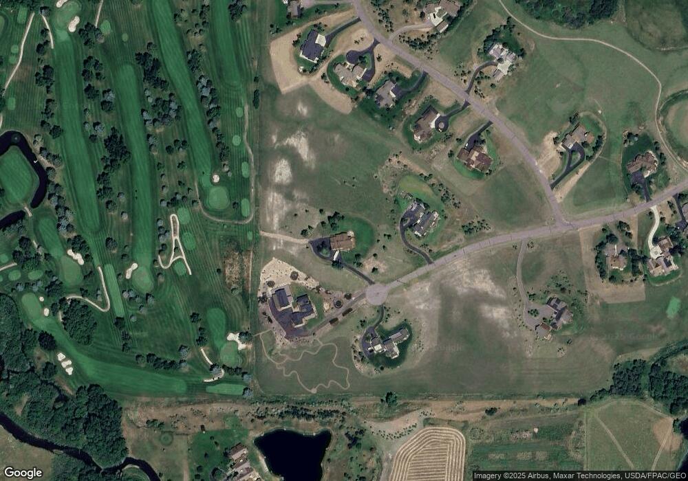
Map
Nearby Homes
- 333 Churn Creek Dr
- 809 Cape Ave
- 3 Gallatin Dr Unit C
- 1 Riverside Dr
- Lot 2 Cos 3038 Springhill Rd
- 3349 N 27th Ave Unit 24
- 3321 N 27th Ave Unit 2
- 2763 Catalyst St
- 3354 Warbler Way Unit B
- 3210 Warbler Way Unit 8
- 329 Gallatin Park Dr Unit 103/203
- 329 Gallatin Park Dr Unit 102/202
- 375 Gallatin Park Dr
- 369 Gallatin Park Dr
- 365 Gallatin Park Dr
- 365, 369 & 375 Gallatin Park Dr
- Lots 14A & 15A Cattail St
- 2757 Marlyn Ct Unit 1
- 60 McGoo Way
- 3123 Warbler Way Unit s A-D
- TBD Quinn David Ln
- 453 Churn Creek Dr
- 349 Churn Creek Dr
- 376 Churn Creek Dr
- TBD Churn Creek Dr
- 410 Churn Creek Dr
- 300 Red Twig Ln
- 474 Quinn David Ln
- Lot 32 Churn Creek
- Lot 2 Churn Creek Dr
- 303 Churn Creek Dr
- 290 Churn Creek Dr
- Lot 35 Springhill Reserve
- 447 Quinn David Ln
- 448 Quinn David Ln
- Lot 4 Churn Creek Dr
- 408 Quinn David Ln
- 100 Gibson Dr
- 101 Gibson Dr
- 29 Riverside Dr