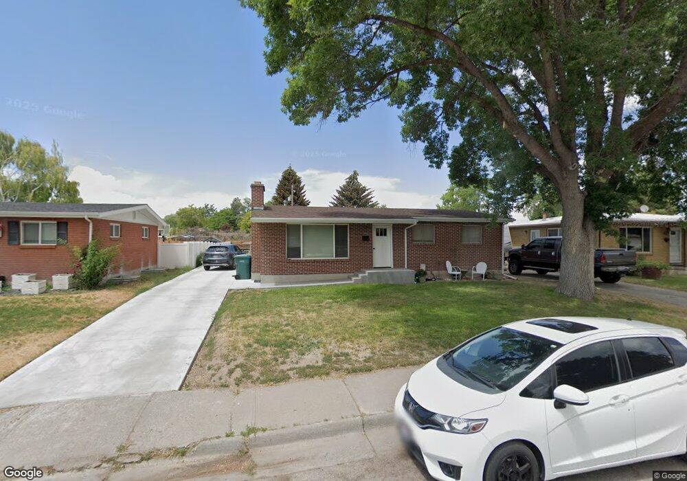
645 S Adams Ave Blackfoot, ID 83221
Estimated Value: $284,000 - $323,000
--
Bed
1
Bath
1,080
Sq Ft
$275/Sq Ft
Est. Value
About This Home
This home is located at 645 S Adams Ave, Blackfoot, ID 83221 and is currently estimated at $296,893, approximately $274 per square foot. 645 S Adams Ave is a home with nearby schools including I.T. Stoddard Elementary School, Blackfoot High School, and Blackfoot Charter Community Learning Center.
Ownership History
Date
Name
Owned For
Owner Type
Purchase Details
Closed on
Feb 8, 2016
Sold by
Lindholm Nancy I and Lindholm Kirk B
Bought by
Lindholm Kirk B
Current Estimated Value
Home Financials for this Owner
Home Financials are based on the most recent Mortgage that was taken out on this home.
Original Mortgage
$93,900
Outstanding Balance
$4,702
Interest Rate
3.98%
Mortgage Type
New Conventional
Estimated Equity
$292,191
Create a Home Valuation Report for This Property
The Home Valuation Report is an in-depth analysis detailing your home's value as well as a comparison with similar homes in the area
Home Values in the Area
Average Home Value in this Area
Purchase History
| Date | Buyer | Sale Price | Title Company |
|---|---|---|---|
| Lindholm Kirk B | -- | First American Title |
Source: Public Records
Mortgage History
| Date | Status | Borrower | Loan Amount |
|---|---|---|---|
| Open | Lindholm Kirk B | $93,900 |
Source: Public Records
Tax History Compared to Growth
Tax History
| Year | Tax Paid | Tax Assessment Tax Assessment Total Assessment is a certain percentage of the fair market value that is determined by local assessors to be the total taxable value of land and additions on the property. | Land | Improvement |
|---|---|---|---|---|
| 2025 | $1,512 | $265,741 | $27,213 | $238,528 |
| 2024 | $1,512 | $265,741 | $27,213 | $238,528 |
| 2023 | $1,760 | $265,741 | $27,213 | $238,528 |
| 2022 | $3,253 | $267,732 | $27,204 | $240,528 |
| 2021 | $1,595 | $142,661 | $16,598 | $126,063 |
| 2020 | $1,573 | $142,661 | $0 | $0 |
| 2019 | $1,676 | $142,661 | $0 | $0 |
| 2018 | $1,426 | $114,128 | $13,278 | $100,850 |
| 2017 | $1,248 | $105,328 | $13,278 | $92,050 |
| 2016 | $1,227 | $105,328 | $0 | $0 |
| 2015 | $1,206 | $105,328 | $0 | $0 |
| 2014 | $1,140 | $105,328 | $13,278 | $92,050 |
Source: Public Records
Map
Nearby Homes
- 576 Sonny St
- 55 South St
- 685 S Stout Ave
- 362 Sonny St
- 165 Horrocks Dr
- 510 Horrocks Dr
- 1259 Harris Loop
- 1385 Harris Loop
- 188 Rodgers Ave
- 1020 Harris Loop
- 1359 Harris Loop
- 807 Henderson Dr
- 725 E Judicial St
- 314 E Bridge St
- 1620 Hannah Ln
- 788 S Broadway St
- 1614 Hannah Ln
- 211 Collins St
- 1161 Packer Dr
- 1624 Hannah Ln
- 635 S Adams Ave
- 655 S Adams Ave
- 615 S Adams Ave
- 675 S Adams Ave
- 622 S Adams Ave
- 595 S Adams Ave
- 626 S Fisher Ave
- 616 S Fisher St
- 604 S Fisher Ave
- 525 Curtis St
- 485 York Dr
- 524 Curtis St
- 634 S Fisher Ave
- 580 S Adams Ave
- 590 S Fisher Ave
- 440 South St
- 480 South St
- 690 S Adams Ave
- 470 South St
- 555 York Dr