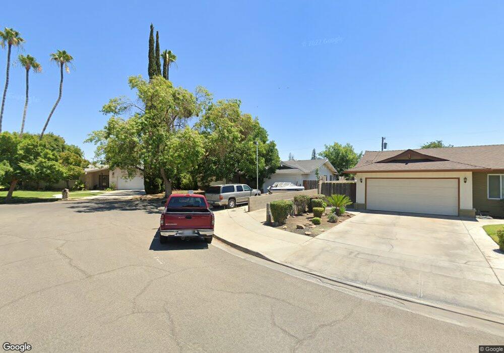
645 W Paul Ave Fresno, CA 93704
Bullard NeighborhoodEstimated Value: $422,000 - $517,000
3
Beds
2
Baths
2,042
Sq Ft
$229/Sq Ft
Est. Value
About This Home
This home is located at 645 W Paul Ave, Fresno, CA 93704 and is currently estimated at $468,208, approximately $229 per square foot. 645 W Paul Ave is a home located in Fresno County with nearby schools including Kratt Elementary School, Tenaya Middle School, and Bullard High School.
Ownership History
Date
Name
Owned For
Owner Type
Purchase Details
Closed on
Jul 29, 2024
Sold by
Lee Jeffrey F and Lee Susan A
Bought by
Ko Development Inc
Current Estimated Value
Purchase Details
Closed on
Jul 23, 2024
Sold by
Lee Jeffrey F and Lee Susan A
Bought by
Ko Development Inc
Purchase Details
Closed on
Sep 12, 1994
Sold by
Santos Richard Anthony and Santos Jeannie Maureen
Bought by
Lee Jeffrey F and Lee Susan A
Home Financials for this Owner
Home Financials are based on the most recent Mortgage that was taken out on this home.
Original Mortgage
$21,452
Interest Rate
8.55%
Create a Home Valuation Report for This Property
The Home Valuation Report is an in-depth analysis detailing your home's value as well as a comparison with similar homes in the area
Home Values in the Area
Average Home Value in this Area
Purchase History
| Date | Buyer | Sale Price | Title Company |
|---|---|---|---|
| Ko Development Inc | $394,000 | None Listed On Document | |
| Ko Development Inc | $394,000 | None Listed On Document | |
| Lee Jeffrey F | -- | Central Title Company |
Source: Public Records
Mortgage History
| Date | Status | Borrower | Loan Amount |
|---|---|---|---|
| Previous Owner | Lee Jeffrey F | $21,452 |
Source: Public Records
Tax History Compared to Growth
Tax History
| Year | Tax Paid | Tax Assessment Tax Assessment Total Assessment is a certain percentage of the fair market value that is determined by local assessors to be the total taxable value of land and additions on the property. | Land | Improvement |
|---|---|---|---|---|
| 2025 | $3,824 | $393,700 | $125,000 | $268,700 |
| 2023 | $3,695 | $205,016 | $53,265 | $151,751 |
| 2022 | $3,716 | $200,997 | $52,221 | $148,776 |
| 2021 | $3,581 | $197,057 | $51,198 | $145,859 |
| 2020 | $2,895 | $195,038 | $50,674 | $144,364 |
| 2019 | $2,271 | $191,215 | $49,681 | $141,534 |
| 2018 | $2,220 | $187,466 | $48,707 | $138,759 |
| 2017 | $2,181 | $183,791 | $47,752 | $136,039 |
| 2016 | $2,107 | $180,188 | $46,816 | $133,372 |
| 2015 | $2,074 | $177,482 | $46,113 | $131,369 |
| 2014 | $2,034 | $174,006 | $45,210 | $128,796 |
Source: Public Records
Map
Nearby Homes
- 744 W Palo Altp Ave
- 744 W Magill Ave
- 6300 N Palm Ave Unit 125
- 6300 N Palm Ave Unit 105
- 1041 W Sierra Ave
- 6260 N Palm Ave Unit 111
- 6265 N Colonial Ave
- 6607 N Maroa Ave
- 1 Palm Ave
- 671 W Sample Ave
- 6338 N Maroa Ave Unit 115
- 355 W Sierra Ave Unit 106
- 6594 N Farris Ave
- 411 W Vartikian Ave
- 665 W Escalon Ave
- 441 W Sample Ave
- 353 W Warner Ave
- 317 W Sierra Ave Unit 124
- 317 W Sierra Ave Unit 107
- 317 W Sierra Ave Unit 125
- 6520 N Roosevelt Ave
- 667 W Paul Ave
- 6530 N Roosevelt Ave
- 677 W Paul Ave
- 6507 N Colonial Ave
- 6540 N Roosevelt Ave
- 672 W Paul Ave
- 6535 N Roosevelt Ave
- 6517 N Colonial Ave
- 687 W Paul Ave
- 676 W Paul Ave
- 6527 N Colonial Ave
- 6549 N Roosevelt Ave
- 6550 N Roosevelt Ave
- 686 W Paul Ave
- 697 W Paul Ave
- 6537 N Colonial Ave
- 665 W Palo Alto Ave
- 643 W Palo Alto Ave
- 696 W Paul Ave