645 Whitney Rd Stoddard, NH 03464
Estimated Value: $468,000 - $593,203
3
Beds
2
Baths
1,428
Sq Ft
$376/Sq Ft
Est. Value
About This Home
This home is located at 645 Whitney Rd, Stoddard, NH 03464 and is currently estimated at $536,551, approximately $375 per square foot. 645 Whitney Rd is a home with nearby schools including James Faulkner Elementary School, Mayland Early College High School, and Keene High School.
Ownership History
Date
Name
Owned For
Owner Type
Purchase Details
Closed on
Jan 19, 2005
Sold by
Hahn Robert K and Hahn Margaret
Bought by
Santoro David H and Santoro Margo
Current Estimated Value
Home Financials for this Owner
Home Financials are based on the most recent Mortgage that was taken out on this home.
Original Mortgage
$280,000
Outstanding Balance
$140,994
Interest Rate
5.71%
Mortgage Type
Purchase Money Mortgage
Estimated Equity
$395,557
Create a Home Valuation Report for This Property
The Home Valuation Report is an in-depth analysis detailing your home's value as well as a comparison with similar homes in the area
Home Values in the Area
Average Home Value in this Area
Purchase History
| Date | Buyer | Sale Price | Title Company |
|---|---|---|---|
| Santoro David H | $380,000 | -- |
Source: Public Records
Mortgage History
| Date | Status | Borrower | Loan Amount |
|---|---|---|---|
| Open | Santoro David H | $280,000 |
Source: Public Records
Tax History Compared to Growth
Tax History
| Year | Tax Paid | Tax Assessment Tax Assessment Total Assessment is a certain percentage of the fair market value that is determined by local assessors to be the total taxable value of land and additions on the property. | Land | Improvement |
|---|---|---|---|---|
| 2024 | $5,481 | $466,030 | $221,980 | $244,050 |
| 2023 | $4,942 | $291,060 | $128,550 | $162,510 |
| 2022 | $4,753 | $291,060 | $128,550 | $162,510 |
| 2021 | $4,823 | $291,060 | $128,550 | $162,510 |
| 2020 | $4,776 | $291,060 | $128,550 | $162,510 |
| 2019 | $4,395 | $291,060 | $128,550 | $162,510 |
| 2018 | $4,093 | $254,370 | $122,000 | $132,370 |
| 2016 | $3,813 | $254,370 | $122,000 | $132,370 |
| 2014 | $4,047 | $254,370 | $122,000 | $132,370 |
| 2013 | $5,318 | $337,880 | $205,700 | $132,180 |
Source: Public Records
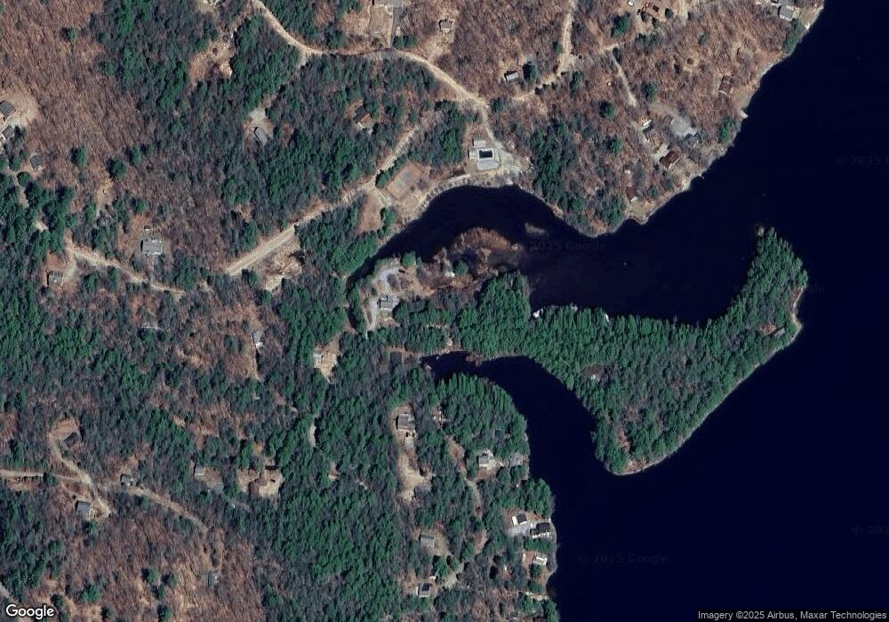
Map
Nearby Homes
- 00 Kennedy Brook Dr Unit 11
- 00 Scenic Dr Unit 22
- 114 Eva Ln
- M111 L24&25 Tigola Trail
- 116 Beaver Lake Dr
- 1018 Route 123 N
- 16 Stone Rd
- 906 Shedd Hill Rd
- 1025 Route 123 N
- 61 Old Antrim Rd
- 321 Route 123 N
- 2167 Valley Rd
- 2 Lookout Point Rd
- 42-11 Route 9
- 00 Old County Rd Unit 13
- 0 Juniper Hill Rd Unit 5051120
- 0 Adams Dr
- 286 Presidential Dr
- 162 Rocky Ledge Rd
- 335 Coolidge Dr
- 644 Whitney Rd
- 650 Whitney Rd
- 621 Whitney Rd
- 568 Whitney Rd
- 654 Whitney Rd
- 58 Kennedy Brook Dr
- 1570 Highland Lake Boat Access
- 1570 Highland Lake Boat Access
- 591 Whitney Rd
- 14 Morton Rd
- 343 Kennedy Brook Dr
- 10 Morton Rd
- 565 Whitney Rd
- 601 Whitney Rd
- 383 Kennedy Brook Dr
- 577 Whitney Rd
- 511 Whitney Rd
- 179 Turtle Rock Rd
- 153 Kennedy Brook Dr
- 00 Kennedy Brook Dr