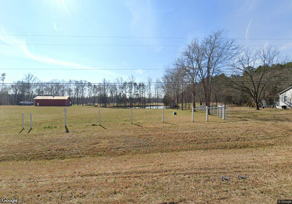
6450 Highway 200 Concord, NC 28025
Estimated Value: $222,000 - $380,103
2
Beds
1
Bath
840
Sq Ft
$328/Sq Ft
Est. Value
About This Home
This home is located at 6450 Highway 200, Concord, NC 28025 and is currently estimated at $275,701, approximately $328 per square foot. 6450 Highway 200 is a home with nearby schools including A.T. Allen Elementary School, Mount Pleasant Middle School, and Mount Pleasant High School.
Ownership History
Date
Name
Owned For
Owner Type
Purchase Details
Closed on
Mar 31, 2023
Sold by
Shinn Robert F and Shinn Barbara H
Bought by
Robert And Barbara Shinn Irrevocable Trust
Current Estimated Value
Purchase Details
Closed on
May 9, 2003
Sold by
Griffin George A and Griffin Helen H
Bought by
Shinn Robert F and Shinn Barbara H
Purchase Details
Closed on
Apr 26, 1999
Sold by
Griffin George A
Bought by
Shinn Robert F and Shinn Rickey D
Create a Home Valuation Report for This Property
The Home Valuation Report is an in-depth analysis detailing your home's value as well as a comparison with similar homes in the area
Home Values in the Area
Average Home Value in this Area
Purchase History
| Date | Buyer | Sale Price | Title Company |
|---|---|---|---|
| Robert And Barbara Shinn Irrevocable Trust | $205,000 | None Listed On Document | |
| Shinn Robert F | $139,000 | -- | |
| Shinn Robert F | -- | -- |
Source: Public Records
Tax History Compared to Growth
Tax History
| Year | Tax Paid | Tax Assessment Tax Assessment Total Assessment is a certain percentage of the fair market value that is determined by local assessors to be the total taxable value of land and additions on the property. | Land | Improvement |
|---|---|---|---|---|
| 2025 | $1,847 | $277,300 | $80,510 | $196,790 |
| 2024 | $1,847 | $277,300 | $80,510 | $196,790 |
| 2023 | $1,827 | $219,540 | $92,670 | $126,870 |
| 2022 | $1,686 | $205,350 | $92,670 | $112,680 |
| 2021 | $1,686 | $205,350 | $92,670 | $112,680 |
| 2020 | $1,686 | $202,610 | $92,670 | $109,940 |
| 2019 | $1,412 | $169,740 | $72,810 | $96,930 |
| 2018 | $1,378 | $169,740 | $72,810 | $96,930 |
| 2017 | $1,344 | $169,740 | $72,810 | $96,930 |
| 2016 | -- | $267,410 | $166,280 | $101,130 |
| 2015 | $2,118 | $267,410 | $166,280 | $101,130 |
| 2014 | $2,118 | $267,410 | $166,280 | $101,130 |
Source: Public Records
Map
Nearby Homes
- 5791 N Carolina 200
- 0 John Furr Rd Unit 1 CAR4096481
- 00 John Furr Rd Unit 3
- 6865 Highway 200
- Vacant 6-/+ Mount Pleasant Rd S
- 6823 Manatee Dr
- 4570 Chanel Ct
- 8808 Cornwall St
- Mitchell Plan at Meadow Creek Village
- Hawthorn Plan at Meadow Creek Village
- Woodruff II Plan at Meadow Creek Village
- Kephart Plan at Meadow Creek Village
- Cardinal Plan at Meadow Creek Village
- 8129 Chilkoot Ln
- 8125 Chilkoot Ln
- 8121 Chilkoot Ln
- 8133 Chilkoot Ln
- 8130 Chilkoot Ln
- 8126 Chilkoot Ln
- 7210 Mission Rd
- 6400 Highway 200
- 6175 Highway 200
- 6553 N Carolina 200
- 0 John Furr Rd
- 6970 John Furr Rd
- 7474 John Furr Rd
- 7474 John Furr Rd
- 00 John Furr Rd
- 7630 Reed Mine Rd
- 7630 Reed Mine Rd
- 6799 Highway 200
- 7477 John Furr Rd
- 7690 Reed Mine Rd
- 000 Reed Mine Rd
- East 0 Reed Mine Rd
- 6120-2 N Carolina 200
- 6120 -1 N Carolina 200
- 6120 Highway 200 Hwy
- 7720 Reed Mine Rd
- 7668 Reed Mine Rd