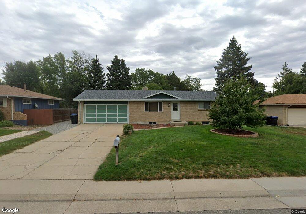
6452 Lamar St Arvada, CO 80003
Lamar Heights NeighborhoodEstimated Value: $453,000 - $529,000
4
Beds
3
Baths
850
Sq Ft
$584/Sq Ft
Est. Value
About This Home
This home is located at 6452 Lamar St, Arvada, CO 80003 and is currently estimated at $496,056, approximately $583 per square foot. 6452 Lamar St is a home located in Jefferson County with nearby schools including Swanson Elementary School, North Arvada Middle School, and Arvada High School.
Ownership History
Date
Name
Owned For
Owner Type
Purchase Details
Closed on
Oct 26, 2006
Sold by
Hud
Bought by
Onan Steven R
Current Estimated Value
Purchase Details
Closed on
Aug 4, 2006
Sold by
Lopez Savina L
Bought by
Hud
Purchase Details
Closed on
Jul 9, 2002
Sold by
Quaratino Rose
Bought by
Lopez Savina L
Home Financials for this Owner
Home Financials are based on the most recent Mortgage that was taken out on this home.
Original Mortgage
$175,840
Interest Rate
6.73%
Mortgage Type
FHA
Create a Home Valuation Report for This Property
The Home Valuation Report is an in-depth analysis detailing your home's value as well as a comparison with similar homes in the area
Home Values in the Area
Average Home Value in this Area
Purchase History
| Date | Buyer | Sale Price | Title Company |
|---|---|---|---|
| Onan Steven R | $162,222 | None Available | |
| Hud | $184,273 | None Available | |
| Lopez Savina L | $178,600 | -- |
Source: Public Records
Mortgage History
| Date | Status | Borrower | Loan Amount |
|---|---|---|---|
| Previous Owner | Lopez Savina L | $175,840 |
Source: Public Records
Tax History
| Year | Tax Paid | Tax Assessment Tax Assessment Total Assessment is a certain percentage of the fair market value that is determined by local assessors to be the total taxable value of land and additions on the property. | Land | Improvement |
|---|---|---|---|---|
| 2024 | $2,839 | $29,265 | $13,489 | $15,776 |
| 2023 | $2,839 | $29,265 | $13,489 | $15,776 |
| 2022 | $2,463 | $25,145 | $11,536 | $13,609 |
| 2021 | $2,503 | $25,868 | $11,868 | $14,000 |
| 2020 | $2,357 | $24,428 | $8,078 | $16,350 |
| 2019 | $2,326 | $24,428 | $8,078 | $16,350 |
| 2018 | $2,008 | $20,510 | $5,743 | $14,767 |
| 2017 | $1,838 | $20,510 | $5,743 | $14,767 |
| 2016 | $1,565 | $16,451 | $5,363 | $11,088 |
| 2015 | $1,303 | $16,451 | $5,363 | $11,088 |
| 2014 | $1,303 | $12,867 | $4,628 | $8,239 |
Source: Public Records
Map
Nearby Homes
- 6501 W 65th Ave
- 6537 Otis St
- 6462 Harlan St
- 6313 Marshall St
- 6503 Gray St
- 6646 Fenton St
- 6788 Pierce Way
- 6650 Depew Ct
- 6837 Pierce St
- 6444 W 69th Place
- 6277 Reed Ct
- 5775 W 61st Place
- 6522 Benton Cir
- 6807 Quay Ct
- 6983 W 68th Ave
- 6204 Vance St
- 6404 Benton St
- 6990 W 61st Ave
- 6656 Benton St
- 6480 W 60th Ave
Your Personal Tour Guide
Ask me questions while you tour the home.