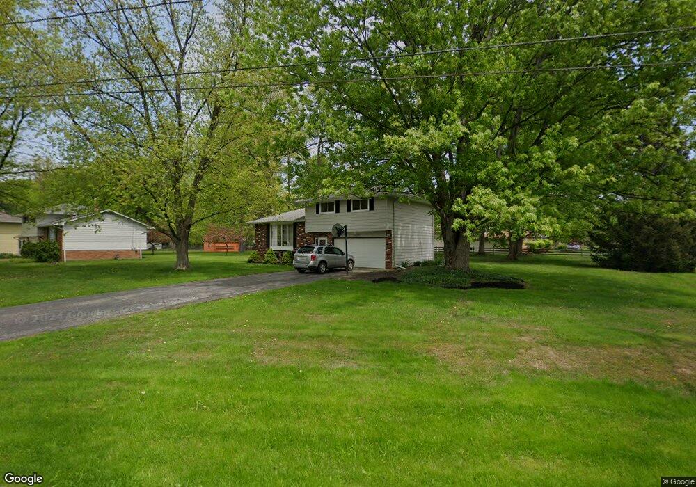
6455 Bryson Dr Mentor, OH 44060
Estimated Value: $238,000 - $289,000
3
Beds
3
Baths
1,106
Sq Ft
$237/Sq Ft
Est. Value
About This Home
This home is located at 6455 Bryson Dr, Mentor, OH 44060 and is currently estimated at $262,201, approximately $237 per square foot. 6455 Bryson Dr is a home located in Lake County with nearby schools including Fairfax Elementary School, Memorial Middle School, and Mentor High School.
Ownership History
Date
Name
Owned For
Owner Type
Purchase Details
Closed on
Dec 26, 2001
Sold by
Sovey Glenn E
Bought by
Sovey Glenn E and Sovey Barbara A
Current Estimated Value
Home Financials for this Owner
Home Financials are based on the most recent Mortgage that was taken out on this home.
Original Mortgage
$114,000
Interest Rate
5.97%
Purchase Details
Closed on
Dec 14, 2001
Sold by
Rorapaugh Ame L and Conaway Ame L
Bought by
Sovey Glenn E
Home Financials for this Owner
Home Financials are based on the most recent Mortgage that was taken out on this home.
Original Mortgage
$114,000
Interest Rate
5.97%
Purchase Details
Closed on
Sep 10, 1993
Bought by
Sovey Glenn E
Create a Home Valuation Report for This Property
The Home Valuation Report is an in-depth analysis detailing your home's value as well as a comparison with similar homes in the area
Home Values in the Area
Average Home Value in this Area
Purchase History
| Date | Buyer | Sale Price | Title Company |
|---|---|---|---|
| Sovey Glenn E | -- | -- | |
| Sovey Glenn E | $60,100 | Guardian Title | |
| Sovey Glenn E | $108,000 | -- |
Source: Public Records
Mortgage History
| Date | Status | Borrower | Loan Amount |
|---|---|---|---|
| Previous Owner | Sovey Glenn E | $114,000 |
Source: Public Records
Tax History Compared to Growth
Tax History
| Year | Tax Paid | Tax Assessment Tax Assessment Total Assessment is a certain percentage of the fair market value that is determined by local assessors to be the total taxable value of land and additions on the property. | Land | Improvement |
|---|---|---|---|---|
| 2024 | -- | $83,610 | $29,250 | $54,360 |
| 2023 | $6,513 | $62,680 | $20,760 | $41,920 |
| 2022 | $2,962 | $62,680 | $20,760 | $41,920 |
| 2021 | $2,959 | $62,680 | $20,760 | $41,920 |
| 2020 | $2,864 | $53,120 | $17,590 | $35,530 |
| 2019 | $2,868 | $53,120 | $17,590 | $35,530 |
| 2018 | $2,856 | $50,540 | $25,850 | $24,690 |
| 2017 | $2,855 | $50,540 | $25,850 | $24,690 |
| 2016 | $2,836 | $50,540 | $25,850 | $24,690 |
| 2015 | $2,531 | $50,540 | $25,850 | $24,690 |
| 2014 | $2,434 | $47,880 | $25,850 | $22,030 |
| 2013 | $2,436 | $47,880 | $25,850 | $22,030 |
Source: Public Records
Map
Nearby Homes
- 8042 Howell Dr
- 6524 Elmwood Rd
- 6592 Edward St
- 6241 Tina Dr
- 7979 Bellflower Rd
- 8295 Mentorwood Dr
- 6495 Meadowbrook Dr
- 8136 Bellflower Rd
- 6625 Pear Tree Ln
- 6676 Oakdale Rd
- 8093 Independence Dr Unit D
- 8090 Independence Dr Unit C
- 6312 Dunbar Dr
- 8109 Puritan Dr Unit A
- 7722 Rutland Dr
- 8152 Puritan Dr Unit 44-A
- 8038 Munson Rd
- 6843 Chablis Ct
- 6854 Beacon Dr Unit 67-A
- 6853 Colonial Dr Unit D
- 6445 Bryson Dr
- 8065 Meadowdale Dr
- 6465 Bryson Dr
- 6466 Bryson Dr
- 6435 Bryson Dr
- 8071 Meadowdale Dr
- 6473 Bryson Dr
- 8066 Meadowdale Dr
- 8079 Meadowdale Dr
- 6480 Bryson Dr
- 6425 Bryson Dr
- 8072 Meadowdale Dr
- 6438 Bryson Dr
- 6483 Bryson Dr
- 6432 Melshore Dr
- 8089 Meadowdale Dr
- 8030 Howell Dr
- 6463 Elmwood Rd
- 6424 Melshore Dr
- 8080 Meadowdale Dr