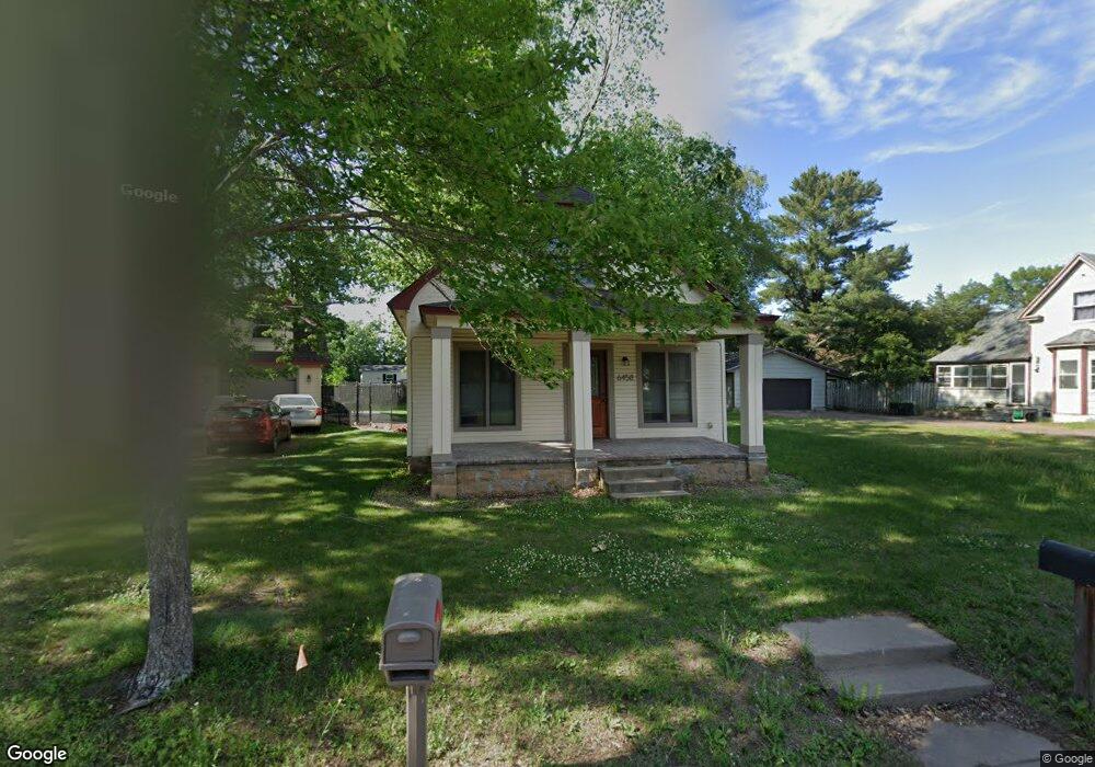
6458 Cedar St North Branch, MN 55056
Estimated Value: $238,000 - $265,426
2
Beds
1
Bath
936
Sq Ft
$271/Sq Ft
Est. Value
About This Home
This home is located at 6458 Cedar St, North Branch, MN 55056 and is currently estimated at $253,857, approximately $271 per square foot. 6458 Cedar St is a home located in Chisago County with nearby schools including North Branch Middle School, Sunrise River Elementary School, and North Branch Senior High School.
Ownership History
Date
Name
Owned For
Owner Type
Purchase Details
Closed on
Jul 11, 2018
Sold by
Stream Julie and Stream Benjamin
Bought by
Schlumbohm Katrina
Current Estimated Value
Home Financials for this Owner
Home Financials are based on the most recent Mortgage that was taken out on this home.
Original Mortgage
$165,938
Interest Rate
4.6%
Mortgage Type
FHA
Purchase Details
Closed on
May 26, 2006
Sold by
Stream Jeffrey L and Stream Denise D
Bought by
Stream Benjamin R and Stream Julie J
Purchase Details
Closed on
May 23, 2005
Sold by
Stream Todd M and Stream Richard C
Bought by
Stream Jeffrey L and Stream Denise D
Purchase Details
Closed on
Jul 19, 1999
Sold by
Stream Richard C and Stream Roy E
Bought by
Stream Todd M
Create a Home Valuation Report for This Property
The Home Valuation Report is an in-depth analysis detailing your home's value as well as a comparison with similar homes in the area
Home Values in the Area
Average Home Value in this Area
Purchase History
| Date | Buyer | Sale Price | Title Company |
|---|---|---|---|
| Schlumbohm Katrina | $170,000 | -- | |
| Stream Benjamin R | $140,000 | -- | |
| Stream Jeffrey L | $140,000 | -- | |
| Stream Todd M | $60,000 | -- |
Source: Public Records
Mortgage History
| Date | Status | Borrower | Loan Amount |
|---|---|---|---|
| Previous Owner | Schlumbohm Katrina | $165,938 | |
| Closed | Stream Todd M | -- |
Source: Public Records
Tax History Compared to Growth
Tax History
| Year | Tax Paid | Tax Assessment Tax Assessment Total Assessment is a certain percentage of the fair market value that is determined by local assessors to be the total taxable value of land and additions on the property. | Land | Improvement |
|---|---|---|---|---|
| 2024 | $2,252 | $170,500 | $0 | $0 |
| 2023 | $2,252 | $193,300 | $0 | $0 |
| 2022 | $2,360 | $159,900 | $0 | $0 |
| 2021 | $1,882 | $120,500 | $0 | $0 |
| 2020 | $1,828 | $141,900 | $40,000 | $101,900 |
| 2019 | $1,720 | $0 | $0 | $0 |
| 2018 | $1,604 | $0 | $0 | $0 |
| 2017 | $1,386 | $0 | $0 | $0 |
| 2016 | $1,324 | $0 | $0 | $0 |
| 2015 | $1,246 | $0 | $0 | $0 |
| 2014 | -- | $82,200 | $0 | $0 |
Source: Public Records
Map
Nearby Homes
- 36XXX Forest Blvd
- 38946 7th Ave
- XXXXX Maple St
- 38958 Elm Ct
- 39183 Grand Ave
- XXX Ash St
- 6231 Red Fox Run
- 38558 Grand Ave
- 38xxx Oakview Ave
- 38470 Glacier Dr
- 38725 12th Ave Unit 83
- 38632 Oakview Ave
- 6072 Chippewa Trail
- 38692 Hawthorne Ave
- 38280 Great Oaks Ct
- TBD Saint Croix Trail
- 38578 Hawthorne Ave
- 7255 Hawthorne Ct
- 7222 Hawthorne Ct
- 7246 385th St