646 Battle Rd Nolensville, TN 37135
Estimated Value: $508,000 - $1,044,000
3
Beds
2
Baths
1,734
Sq Ft
$452/Sq Ft
Est. Value
About This Home
This home is located at 646 Battle Rd, Nolensville, TN 37135 and is currently estimated at $783,120, approximately $451 per square foot. 646 Battle Rd is a home located in Davidson County with nearby schools including A.Z. Kelley Elementary School, Thurgood Marshall Middle School, and Cane Ridge High School.
Ownership History
Date
Name
Owned For
Owner Type
Purchase Details
Closed on
Sep 29, 2005
Sold by
Henderson Elizabeth G
Bought by
Stinson Joseph E and Stinson Sirci
Current Estimated Value
Home Financials for this Owner
Home Financials are based on the most recent Mortgage that was taken out on this home.
Original Mortgage
$301,200
Outstanding Balance
$167,360
Interest Rate
6.37%
Mortgage Type
Purchase Money Mortgage
Estimated Equity
$615,760
Purchase Details
Closed on
Dec 7, 2004
Sold by
Piercey Don and Piercey Terry Lynn
Bought by
Henderson Elizabeth G
Home Financials for this Owner
Home Financials are based on the most recent Mortgage that was taken out on this home.
Original Mortgage
$264,000
Interest Rate
5.37%
Mortgage Type
New Conventional
Create a Home Valuation Report for This Property
The Home Valuation Report is an in-depth analysis detailing your home's value as well as a comparison with similar homes in the area
Home Values in the Area
Average Home Value in this Area
Purchase History
| Date | Buyer | Sale Price | Title Company |
|---|---|---|---|
| Stinson Joseph E | $376,500 | Advantage Title & Escrow | |
| Henderson Elizabeth G | $330,000 | Saturn & Mazer Title Service |
Source: Public Records
Mortgage History
| Date | Status | Borrower | Loan Amount |
|---|---|---|---|
| Open | Stinson Joseph E | $301,200 | |
| Previous Owner | Henderson Elizabeth G | $264,000 | |
| Closed | Henderson Elizabeth G | $49,500 |
Source: Public Records
Tax History Compared to Growth
Tax History
| Year | Tax Paid | Tax Assessment Tax Assessment Total Assessment is a certain percentage of the fair market value that is determined by local assessors to be the total taxable value of land and additions on the property. | Land | Improvement |
|---|---|---|---|---|
| 2024 | $2,679 | $91,700 | $37,175 | $54,525 |
| 2023 | $2,679 | $91,700 | $37,175 | $54,525 |
| 2022 | $2,679 | $91,700 | $37,175 | $54,525 |
| 2021 | $2,708 | $91,700 | $37,175 | $54,525 |
| 2020 | $2,630 | $69,425 | $30,975 | $38,450 |
| 2019 | $1,913 | $69,425 | $30,975 | $38,450 |
| 2018 | $1,913 | $69,425 | $30,975 | $38,450 |
| 2017 | $1,913 | $69,425 | $30,975 | $38,450 |
| 2016 | $2,252 | $57,400 | $28,400 | $29,000 |
| 2015 | $2,252 | $57,400 | $28,400 | $29,000 |
| 2014 | $2,252 | $57,400 | $28,400 | $29,000 |
Source: Public Records
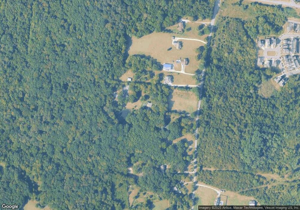
Map
Nearby Homes
- 349 Moira Cir
- 1588 Winding Creek Dr
- 2319 Fairchild Cir
- 1936 Grace Point Ln
- 503 Pleasant St
- 2010 Oak Trail Dr
- 311 Crows Nest Alley
- 1435 Winding Creek Dr
- 1427 Winding Creek Dr
- 3107 Patcham Dr Unit 204
- 3107 Patcham Dr Unit 103
- 3115 Patcham Dr Unit 103
- 3115 Patcham Dr Unit 201
- 1011 Milson Ln
- 2292 Mcfarlin Rd
- 3220 Patcham Dr Unit 3
- 1743 Park Terrace Ln
- 2018 Cavell Ln
- 6580 Burkitt Rd
- 352 Savoy Loop