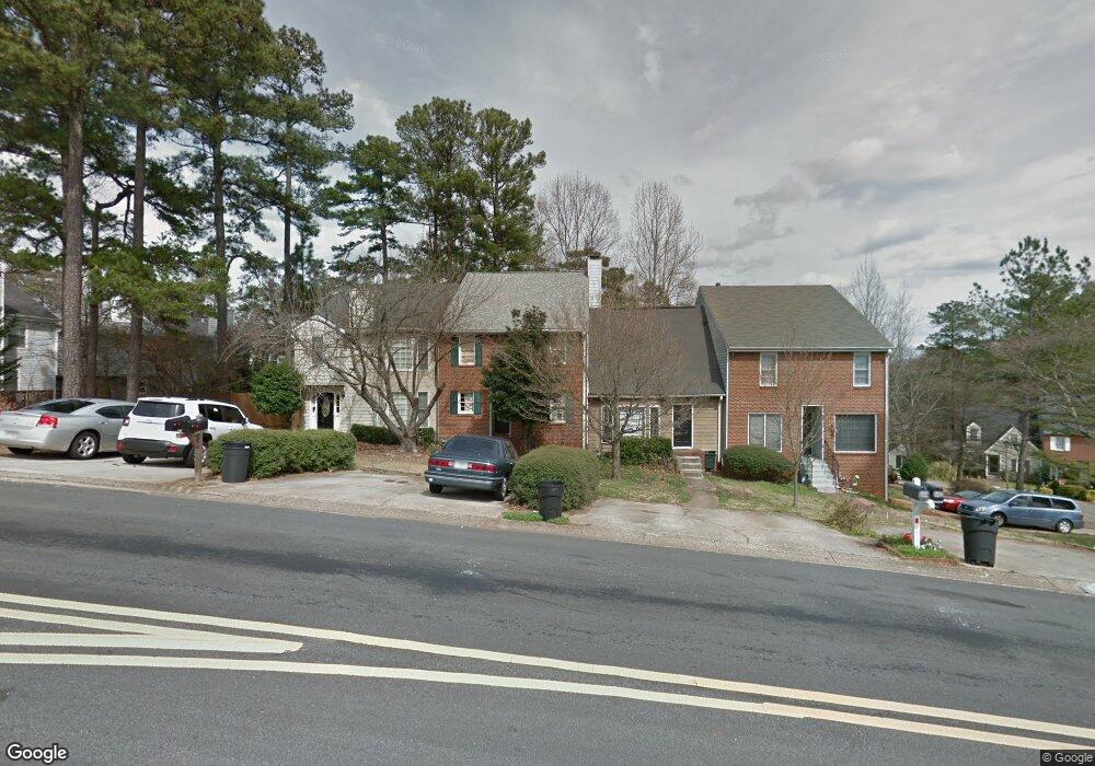
646 Manning Rd SW Unit II Marietta, GA 30064
Southwestern Marietta NeighborhoodEstimated Value: $321,000 - $369,000
3
Beds
3
Baths
2,048
Sq Ft
$166/Sq Ft
Est. Value
About This Home
This home is located at 646 Manning Rd SW Unit II, Marietta, GA 30064 and is currently estimated at $340,048, approximately $166 per square foot. 646 Manning Rd SW Unit II is a home located in Cobb County with nearby schools including A.L. Burruss Elementary School, Marietta Sixth Grade Academy, and Marietta Middle School.
Ownership History
Date
Name
Owned For
Owner Type
Purchase Details
Closed on
Nov 25, 1997
Sold by
Mosley Michael C and Mosley Mildred
Bought by
Davis Sandy L
Current Estimated Value
Home Financials for this Owner
Home Financials are based on the most recent Mortgage that was taken out on this home.
Original Mortgage
$74,650
Outstanding Balance
$12,327
Interest Rate
7.35%
Mortgage Type
FHA
Estimated Equity
$327,721
Create a Home Valuation Report for This Property
The Home Valuation Report is an in-depth analysis detailing your home's value as well as a comparison with similar homes in the area
Home Values in the Area
Average Home Value in this Area
Purchase History
| Date | Buyer | Sale Price | Title Company |
|---|---|---|---|
| Davis Sandy L | $76,400 | -- |
Source: Public Records
Mortgage History
| Date | Status | Borrower | Loan Amount |
|---|---|---|---|
| Open | Davis Sandy L | $74,650 |
Source: Public Records
Tax History Compared to Growth
Tax History
| Year | Tax Paid | Tax Assessment Tax Assessment Total Assessment is a certain percentage of the fair market value that is determined by local assessors to be the total taxable value of land and additions on the property. | Land | Improvement |
|---|---|---|---|---|
| 2025 | $139 | $128,832 | $34,000 | $94,832 |
| 2024 | $139 | $128,832 | $34,000 | $94,832 |
| 2023 | $0 | $128,832 | $34,000 | $94,832 |
| 2022 | $139 | $100,680 | $18,000 | $82,680 |
| 2021 | $148 | $63,808 | $18,000 | $45,808 |
| 2020 | $148 | $63,808 | $18,000 | $45,808 |
| 2019 | $147 | $57,996 | $16,000 | $41,996 |
| 2018 | $147 | $57,996 | $16,000 | $41,996 |
| 2017 | $116 | $39,360 | $8,000 | $31,360 |
| 2016 | $117 | $32,672 | $4,000 | $28,672 |
| 2015 | $130 | $32,672 | $4,000 | $28,672 |
| 2014 | $82 | $19,992 | $0 | $0 |
Source: Public Records
Map
Nearby Homes
- 594 Manning Rd SW
- 199 Hickory Walk SW
- 181 Brighton Ct SW
- 1141 Whitlock Ave NW
- 560 Manning Rd SW
- 920 Westland Dr SW
- 207 Westland Cir SW
- 106 Westland Ct SW
- 332 Rockmann Ln SW
- 260 Manning Rd SW Unit 110
- 1161 Rockmann Terrace SW
- 927 Burnt Hickory Cir NW Unit 10
- 1211 Cliffpine Ct SW
- 1032 Chippendale Trail SW
- 1047 Chestnut Hill Cir SW
- 839 Manning Villas Ct SW
- 834 Cannon Run SW
- 798 Sentinel Ridge SW
- 644 Manning Rd SW
- 648 Manning Rd SW
- 648 Manning Rd SW Unit 648
- 159 Coventry Place SW
- 159 Coventry Place SW Unit 159
- 642 Manning Rd SW
- 642 Manning Rd SW Unit 642
- 161 Coventry Place SW
- 161 Coventry Place SW Unit 161
- 156 Brighton Ct SW
- 154 Brighton Ct SW Unit 3
- 165 Coventry Place SW Unit 165
- 165 Coventry Place SW
- 152 Brighton Ct SW
- 0 Coventry Place SW Unit 3182627
- 0 Coventry Place SW Unit 3280742
- 0 Coventry Place SW Unit 7336074
- 0 Coventry Place SW
- 160 Brighton Ct SW
- 158 Brighton Ct SW