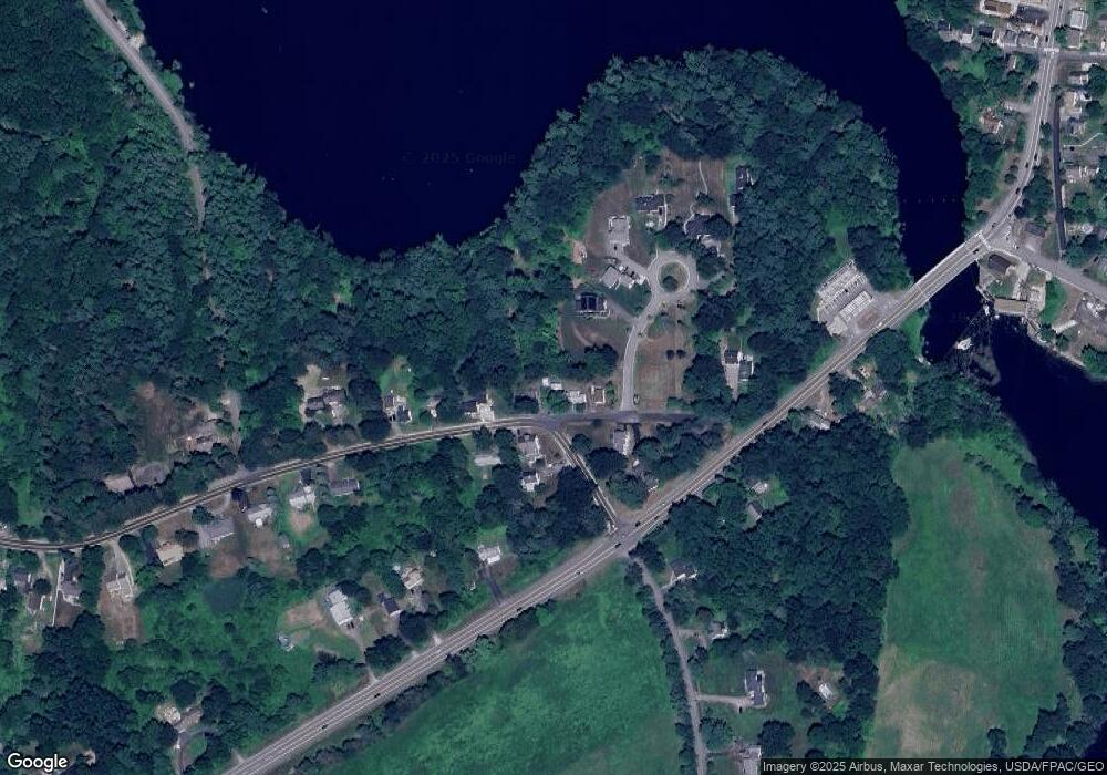
646 Silver St Rollinsford, NH 03869
Estimated Value: $355,859 - $409,000
2
Beds
1
Bath
1,051
Sq Ft
$362/Sq Ft
Est. Value
About This Home
This home is located at 646 Silver St, Rollinsford, NH 03869 and is currently estimated at $379,965, approximately $361 per square foot. 646 Silver St is a home located in Strafford County with nearby schools including Rollinsford Grade School, Berwick Academy, and Seacoast Christian School.
Create a Home Valuation Report for This Property
The Home Valuation Report is an in-depth analysis detailing your home's value as well as a comparison with similar homes in the area
Home Values in the Area
Average Home Value in this Area
Tax History Compared to Growth
Tax History
| Year | Tax Paid | Tax Assessment Tax Assessment Total Assessment is a certain percentage of the fair market value that is determined by local assessors to be the total taxable value of land and additions on the property. | Land | Improvement |
|---|---|---|---|---|
| 2024 | $4,746 | $289,200 | $171,700 | $117,500 |
| 2023 | $4,448 | $289,200 | $171,700 | $117,500 |
| 2022 | $4,300 | $289,200 | $171,700 | $117,500 |
| 2021 | $4,410 | $180,900 | $101,800 | $79,100 |
| 2020 | $556 | $180,900 | $101,800 | $79,100 |
| 2019 | $4,090 | $180,900 | $101,800 | $79,100 |
| 2018 | $510 | $180,900 | $101,800 | $79,100 |
| 2016 | $4,144 | $148,100 | $63,300 | $84,800 |
| 2015 | $4,062 | $148,100 | $63,300 | $84,800 |
| 2014 | $3,925 | $148,100 | $63,300 | $84,800 |
| 2013 | $3,981 | $148,100 | $63,300 | $84,800 |
Source: Public Records
Map
Nearby Homes
- 37 Nealley St
- 26 Stevens Ct
- 10 Portland St
- 289 Main St
- 23 Paul St
- 72 Vine St
- 442 Prospect St
- 24 Spillanes Hill
- 10 Hill Dr
- 24 Farmgate Rd
- 22 High Knoll Dr
- 13 Beaver Dam Rd
- 13 Beech Rd
- 95 Oldfields Rd
- 8 Dogwood Dr
- 41 Dogwood Dr
- 72 Moses Carr Rd
- 400 Gulf Rd
- 5 Knights Pond Rd
- 11 Country Club Estates Dr Unit 11
- 648 Silver St
- 644 Silver St
- Lot 3 Scarlett Ln
- Lot 3 Scarlett Ln Unit Lot 19-3
- Lot 1 Scarlett Ln
- Lot 1 Scarlett Ln Unit Lot 19-1
- 652 Silver St
- 658 Silver St
- 9 Scarlett Ln
- 658 Silver St Unit Lot 19-0
- 638 Silver St
- 653 Silver St
- 634 Silver St
- 1 Short St
- 7 Scarlett Ln
- 630 Silver St
- 668 Silver St
- 950 Portland Ave
- 624 Silver St
- 625 Silver St
