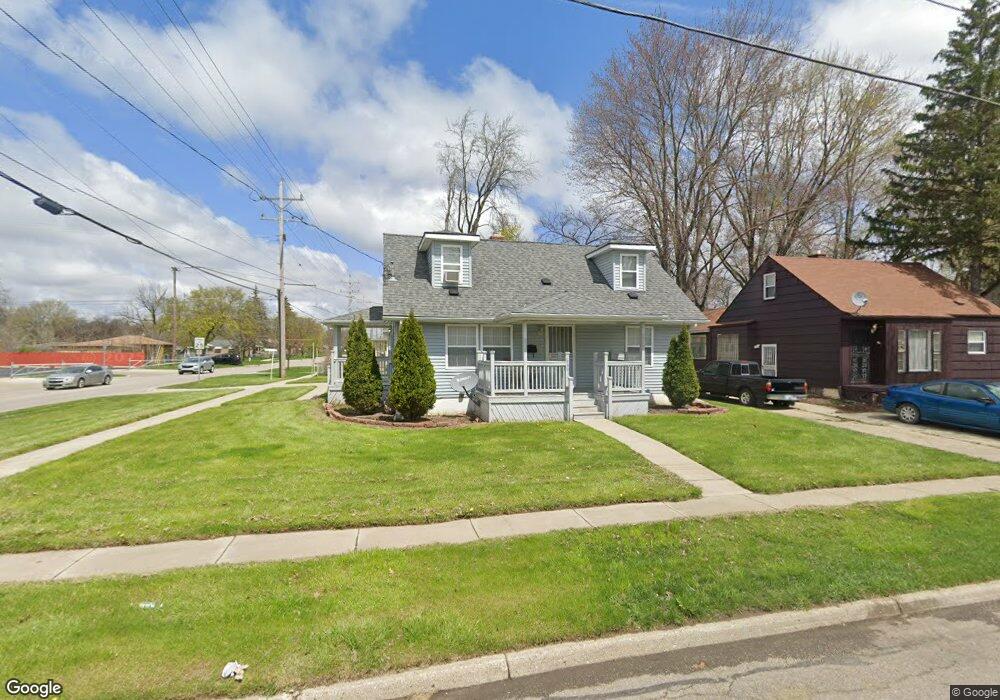
646 W Austin Ave Flint, MI 48505
MLK Circle NeighborhoodEstimated Value: $46,000 - $77,000
3
Beds
1
Bath
995
Sq Ft
$63/Sq Ft
Est. Value
About This Home
This home is located at 646 W Austin Ave, Flint, MI 48505 and is currently estimated at $62,762, approximately $63 per square foot. 646 W Austin Ave is a home located in Genesee County with nearby schools including Brownell STEM Academy, The New Standard Academy, and Eagle's Nest Academy.
Ownership History
Date
Name
Owned For
Owner Type
Purchase Details
Closed on
Dec 18, 2015
Sold by
City Of Flint
Bought by
Bransford Artavia
Current Estimated Value
Purchase Details
Closed on
Feb 28, 2015
Sold by
Operation Unification Inc
Bought by
City Of Flint
Purchase Details
Closed on
Oct 1, 2010
Sold by
Genesee County Land Bank Authority
Bought by
Operation Unification Inc
Purchase Details
Closed on
Dec 21, 2009
Sold by
Kildee Daniel T and Genesee County Treasurer
Bought by
Genesee County Land Bank Authority
Create a Home Valuation Report for This Property
The Home Valuation Report is an in-depth analysis detailing your home's value as well as a comparison with similar homes in the area
Home Values in the Area
Average Home Value in this Area
Purchase History
| Date | Buyer | Sale Price | Title Company |
|---|---|---|---|
| Bransford Artavia | $13,000 | Sargents Title Company | |
| City Of Flint | -- | None Available | |
| Operation Unification Inc | $2,000 | None Available | |
| Genesee County Land Bank Authority | -- | None Available |
Source: Public Records
Tax History
| Year | Tax Paid | Tax Assessment Tax Assessment Total Assessment is a certain percentage of the fair market value that is determined by local assessors to be the total taxable value of land and additions on the property. | Land | Improvement |
|---|---|---|---|---|
| 2025 | $566 | $11,400 | $0 | $0 |
| 2024 | $528 | $9,200 | $0 | $0 |
| 2023 | $527 | $7,100 | $0 | $0 |
| 2022 | $0 | $5,500 | $0 | $0 |
| 2021 | $538 | $5,600 | $0 | $0 |
| 2020 | $500 | $5,200 | $0 | $0 |
| 2019 | $497 | $5,100 | $0 | $0 |
| 2018 | $464 | $4,700 | $0 | $0 |
| 2017 | $470 | $0 | $0 | $0 |
| 2016 | $485 | $0 | $0 | $0 |
| 2015 | -- | $0 | $0 | $0 |
| 2014 | -- | $0 | $0 | $0 |
| 2012 | -- | $6,400 | $0 | $0 |
Source: Public Records
Map
Nearby Homes
- 618 W Austin Ave
- 610 W Austin Ave
- 613 W Foss Ave
- 605 W Foss Ave
- 536 W Home Ave
- 505 W Ruth Ave
- 614 W Holbrook Ave
- 5714 Suburban Ct
- 1216 Barbara Dr
- 525 W Bundy Ave
- 5610 Baldwin Blvd
- 6902 Sally Ct
- 405 W Bundy Ave
- 5705 Winthrop Blvd
- 1015 W Carpenter Rd
- 1511 W Home Ave
- 5502 Susan St
- 225 E Piper Ave
- 1709 W Home Ave
- 1816 Russet Place
- 642 W Austin Ave
- 638 W Austin Ave
- 645 W Ruth Ave
- 641 W Ruth Ave
- 637 W Ruth Ave
- 634 W Austin Ave
- 643 W Austin Ave
- 637 W Austin Ave
- 633 W Ruth Ave
- 630 W Austin Ave
- 633 W Austin Ave
- 629 W Ruth Ave
- 6409 Dupont St
- 626 W Austin Ave
- 629 W Austin Ave
- 646 W Ruth Ave
- 642 W Ruth Ave
- 707 Chatham Dr
- 638 W Ruth Ave
- 625 W Austin Ave