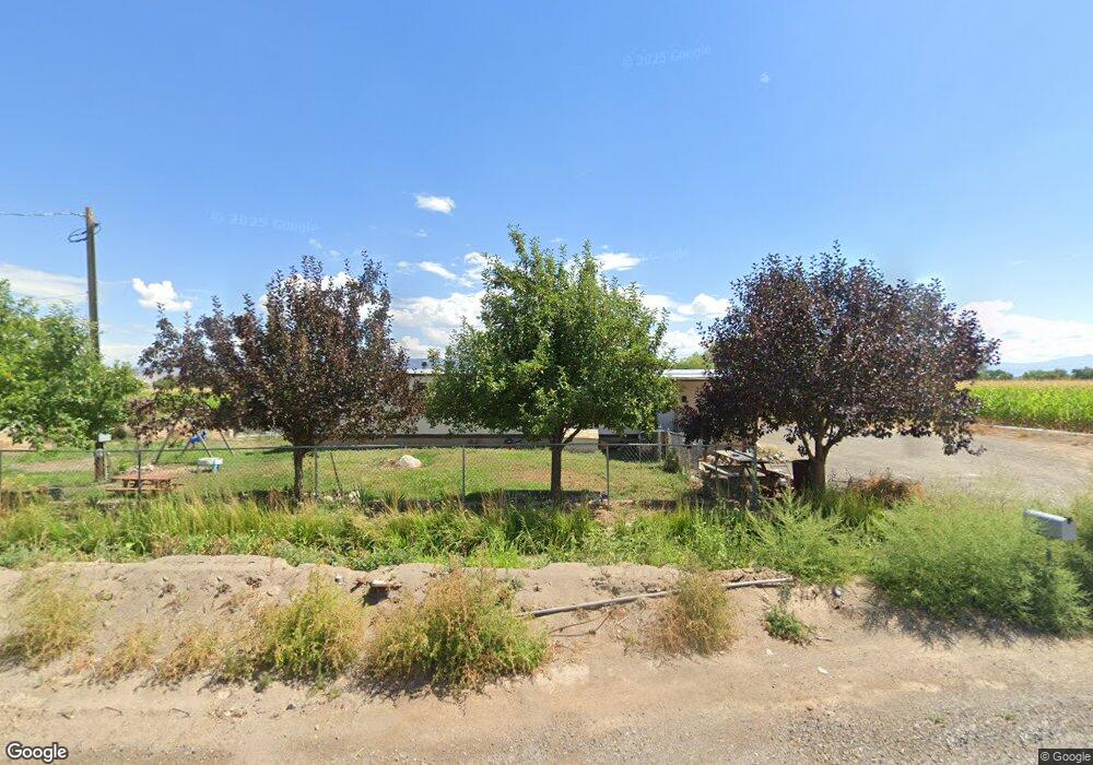
6460 5825 Rd Olathe, CO 81425
Estimated Value: $372,000 - $1,915,545
2
Beds
2
Baths
2,780
Sq Ft
$368/Sq Ft
Est. Value
About This Home
This home is located at 6460 5825 Rd, Olathe, CO 81425 and is currently estimated at $1,023,848, approximately $368 per square foot. 6460 5825 Rd is a home located in Montrose County with nearby schools including Olathe Elementary School, Olathe Middle and High School, and Olathe Middle School.
Ownership History
Date
Name
Owned For
Owner Type
Purchase Details
Closed on
Apr 11, 2008
Sold by
Cannell Kirby B and Cannell Pamela J
Bought by
Pamela J Cannell Trust
Current Estimated Value
Purchase Details
Closed on
Jun 12, 2001
Sold by
Ladner Quentin Ryan and Ladner Kathy Sue
Bought by
Cannell Kirby B and Cannell Pamela J
Purchase Details
Closed on
Mar 13, 2001
Sold by
Cannell Kirby B Trust & Cannell Pamela J
Bought by
Cannell Kirby B and Cannell Pamela J
Purchase Details
Closed on
Mar 6, 1991
Sold by
Farm Credit Bank Of Wichita
Bought by
Ladner Quentin Ryan and Ladner Kathy Sue
Create a Home Valuation Report for This Property
The Home Valuation Report is an in-depth analysis detailing your home's value as well as a comparison with similar homes in the area
Purchase History
| Date | Buyer | Sale Price | Title Company |
|---|---|---|---|
| Pamela J Cannell Trust | $50,000 | None Available | |
| Cannell Kirby B | $380,000 | -- | |
| Cannell Kirby B | -- | -- | |
| Ladner Quentin Ryan | $117,000 | -- |
Source: Public Records
Tax History
| Year | Tax Paid | Tax Assessment Tax Assessment Total Assessment is a certain percentage of the fair market value that is determined by local assessors to be the total taxable value of land and additions on the property. | Land | Improvement |
|---|---|---|---|---|
| 2024 | $7,271 | $103,760 | $15,580 | $88,180 |
| 2023 | $6,954 | $110,480 | $16,220 | $94,260 |
| 2022 | $4,942 | $78,520 | $11,730 | $66,790 |
| 2021 | $5,167 | $81,690 | $12,620 | $69,070 |
| 2020 | $32 | $76,910 | $10,800 | $66,110 |
| 2019 | $32 | $76,910 | $10,800 | $66,110 |
| 2018 | $33 | $520 | $0 | $520 |
| 2017 | $33 | $520 | $0 | $520 |
| 2016 | $33 | $530 | $0 | $530 |
| 2015 | $31 | $530 | $0 | $530 |
| 2014 | $27 | $500 | $0 | $500 |
Source: Public Records
Map
Nearby Homes
- 6910 High Mesa Rd
- 6859 Church St
- 615 S Church Ave
- 6851 Church Rd
- 217 N Highway 50 Business Loop
- Lot 2(TBD) Wilson Ave
- 59727 U S 50
- 6617 5700 Rd
- 7528 S River Rd
- 58177 Garner Ln
- 56577 Hawthorne Ln
- 7655 6075 Rd
- 7276 5550 Rd
- 5345 Highway 348
- 55744 Fuchsia Ln
- 9550 High Mesa Rd
- 9838 5650 Rd
- 57001 Begonia Rd
- 58703 Ida Rd
- TBD 1.5 Acres Ida Rd
Your Personal Tour Guide
Ask me questions while you tour the home.