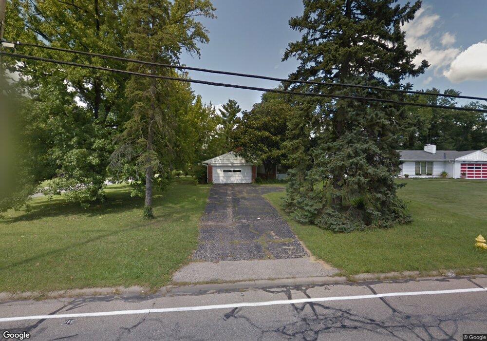
6460 Euclid Ave Cincinnati, OH 45243
Estimated Value: $427,294 - $496,000
2
Beds
2
Baths
1,563
Sq Ft
$294/Sq Ft
Est. Value
About This Home
This home is located at 6460 Euclid Ave, Cincinnati, OH 45243 and is currently estimated at $459,824, approximately $294 per square foot. 6460 Euclid Ave is a home located in Hamilton County with nearby schools including Indian Hill Primary School, Indian Hill Elementary School, and Indian Hill Middle School.
Ownership History
Date
Name
Owned For
Owner Type
Purchase Details
Closed on
Nov 14, 1995
Sold by
Griffin Dixie C
Bought by
Schmits Kathleen A
Current Estimated Value
Home Financials for this Owner
Home Financials are based on the most recent Mortgage that was taken out on this home.
Original Mortgage
$70,000
Interest Rate
7.44%
Create a Home Valuation Report for This Property
The Home Valuation Report is an in-depth analysis detailing your home's value as well as a comparison with similar homes in the area
Home Values in the Area
Average Home Value in this Area
Purchase History
We collect this data history from publicly available records. To have your information removed, we recommend requesting removal directly through your county’s website.
| Date | Buyer | Sale Price | Title Company |
|---|---|---|---|
| Schmits Kathleen A | -- | Longworth Title Agency Inc |
Source: Public Records
Mortgage History
We collect this data history from publicly available records. To have your information removed, we recommend requesting removal directly through your county’s website.
| Date | Status | Borrower | Loan Amount |
|---|---|---|---|
| Closed | Schmits Kathleen A | $70,000 |
Source: Public Records
Tax History
| Year | Tax Paid | Tax Assessment Tax Assessment Total Assessment is a certain percentage of the fair market value that is determined by local assessors to be the total taxable value of land and additions on the property. | Land | Improvement |
|---|---|---|---|---|
| 2025 | $5,324 | $105,837 | $32,813 | $73,024 |
| 2024 | $3,744 | $105,837 | $32,813 | $73,024 |
| 2023 | $3,799 | $105,837 | $32,813 | $73,024 |
| 2022 | $3,334 | $78,135 | $22,446 | $55,689 |
| 2021 | $3,239 | $78,135 | $22,446 | $55,689 |
| 2020 | $2,899 | $78,135 | $22,446 | $55,689 |
| 2019 | $2,677 | $68,538 | $19,688 | $48,850 |
| 2018 | $2,683 | $68,538 | $19,688 | $48,850 |
| 2017 | $2,553 | $68,538 | $19,688 | $48,850 |
| 2016 | $2,072 | $56,935 | $17,063 | $39,872 |
| 2015 | $2,093 | $56,935 | $17,063 | $39,872 |
| 2014 | $2,465 | $56,935 | $17,063 | $39,872 |
| 2013 | $2,554 | $56,935 | $17,063 | $39,872 |
Source: Public Records
Map
Nearby Homes
- 6866 Kenwood Rd
- 6453 Oldbarn Ct
- 6965 Euclid Ave
- 6761 Eleck Place
- 6149 Saint Regis Dr
- 6847 Meadowdale Cir
- 6752 Rose Crest Ave
- 7151 Euclid Ave
- 6580 Minnewaukan Dr
- 7123 Silver Crest Dr
- 6488 Navaho Trail
- 7406 Dawson Rd
- 7112 Summit Ave
- 4615 Largo Dr
- 7317 Euclid Ave
- 6918 Carroll Ave
- 7261 S Mingo Ln
- 6955 Carroll Ave
- 7027 Glenellyn Dr
- 7401 N Timberlane Dr
- 6470 Euclid Ave
- 6531 Euclid Ave
- 6525 Michael Dr
- 6440 Euclid Ave
- 6510 Michael Dr
- 6545 Lisa Ln
- 6480 Euclid Ave
- 6591 Euclid Ave
- 6985 Charlesfield Ln
- 6524 Michael Dr
- 6511 Euclid Ave
- 6430 Euclid Ave
- 6505 Euclid Ave
- 6522 Euclid Ave
- 6536 Michael Dr
- 6561 Lisa Ln
- 6990 Charlesfield Ln
- 6975 Charlesfield Ln
- 6491 Euclid Ave
- 6536 Lisa Ln
Your Personal Tour Guide
Ask me questions while you tour the home.