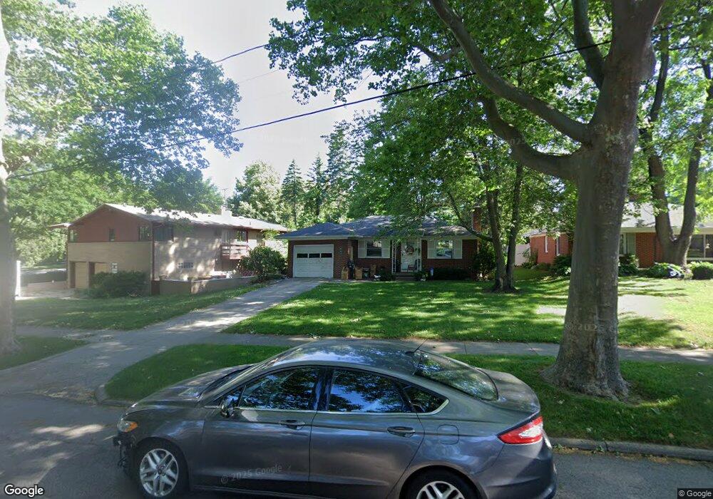
647 Comstock Blvd NE Grand Rapids, MI 49505
Creston NeighborhoodEstimated Value: $274,883 - $348,000
2
Beds
1
Bath
1
Sq Ft
$302,221/Sq Ft
Est. Value
About This Home
This home is located at 647 Comstock Blvd NE, Grand Rapids, MI 49505 and is currently estimated at $302,221, approximately $302,221 per square foot. 647 Comstock Blvd NE is a home located in Kent County with nearby schools including Riverside Middle School, Union High School, and ISJ Academy.
Ownership History
Date
Name
Owned For
Owner Type
Purchase Details
Closed on
Sep 12, 2005
Sold by
Linnan Marvel Elaine
Bought by
Adams Sandra M
Current Estimated Value
Home Financials for this Owner
Home Financials are based on the most recent Mortgage that was taken out on this home.
Original Mortgage
$100,000
Interest Rate
6.01%
Mortgage Type
Fannie Mae Freddie Mac
Purchase Details
Closed on
Sep 24, 1990
Sold by
Straayer Straayer B B and Straayer Linnan M
Bought by
Adams Sandra M
Create a Home Valuation Report for This Property
The Home Valuation Report is an in-depth analysis detailing your home's value as well as a comparison with similar homes in the area
Home Values in the Area
Average Home Value in this Area
Purchase History
| Date | Buyer | Sale Price | Title Company |
|---|---|---|---|
| Adams Sandra M | $100,000 | -- | |
| Adams Sandra M | $65,000 | -- |
Source: Public Records
Mortgage History
| Date | Status | Borrower | Loan Amount |
|---|---|---|---|
| Closed | Adams Sandra M | $100,000 |
Source: Public Records
Tax History Compared to Growth
Tax History
| Year | Tax Paid | Tax Assessment Tax Assessment Total Assessment is a certain percentage of the fair market value that is determined by local assessors to be the total taxable value of land and additions on the property. | Land | Improvement |
|---|---|---|---|---|
| 2025 | $2,086 | $124,000 | $0 | $0 |
| 2024 | $2,086 | $115,800 | $0 | $0 |
| 2023 | $2,117 | $98,600 | $0 | $0 |
| 2022 | $2,010 | $89,900 | $0 | $0 |
| 2021 | $1,965 | $87,400 | $0 | $0 |
| 2020 | $1,879 | $80,000 | $0 | $0 |
| 2019 | $1,967 | $74,800 | $0 | $0 |
| 2018 | $1,900 | $72,800 | $0 | $0 |
| 2017 | $1,850 | $65,300 | $0 | $0 |
| 2016 | $1,872 | $59,400 | $0 | $0 |
| 2015 | $1,741 | $59,400 | $0 | $0 |
| 2013 | -- | $53,300 | $0 | $0 |
Source: Public Records
Map
Nearby Homes
- 778 Eleanor St NE
- 861 Aberdeen St NE
- 2471 Union Ave NE
- 465 Kenwood St NE
- 2038 Melita Ave NE
- 612 Woodridge St NE
- 2019 Plainfield Ave NE
- 2030 Sinclair Ave NE
- 240 Eleanor St NE
- 2630 Oakwood Ave NE
- 2700 Plainfield Ave NE
- 308 Sligh Blvd NE
- 321 Knapp St NE
- 2723 Oakwood Ave NE
- 2818 Edgewood Ave NE
- 1848 Emerald Ave NE
- 2765 Oakwood Ave NE
- 1825 Meadowfield Dr NE
- 1757 Westlane Dr NE
- 2856 Cheney Ave NE
- 651 Comstock Blvd NE
- 2300 Foster Ave NE
- 2318 Foster Ave NE
- 2301 Plainfield Ave NE
- 2320 Foster Ave NE
- 2307 Plainfield Ave NE
- 2313 Plainfield Ave NE
- 2324 Foster Ave NE
- 2313 Foster Ave NE
- 2303 Foster Ave NE
- 2319 Plainfield Ave NE
- 2317 Foster Ave NE
- 2332 Foster Ave NE
- 2323 Foster Ave NE
- 2325 Plainfield Ave NE
- 2329 Foster Ave NE
- 2257 Foster Ave NE
- 2308 Plainfield Ave NE
- 701 Evelyn St NE
- 2335 Foster Ave NE