Estimated Value: $240,605 - $347,000
--
Bed
--
Bath
2,760
Sq Ft
$107/Sq Ft
Est. Value
About This Home
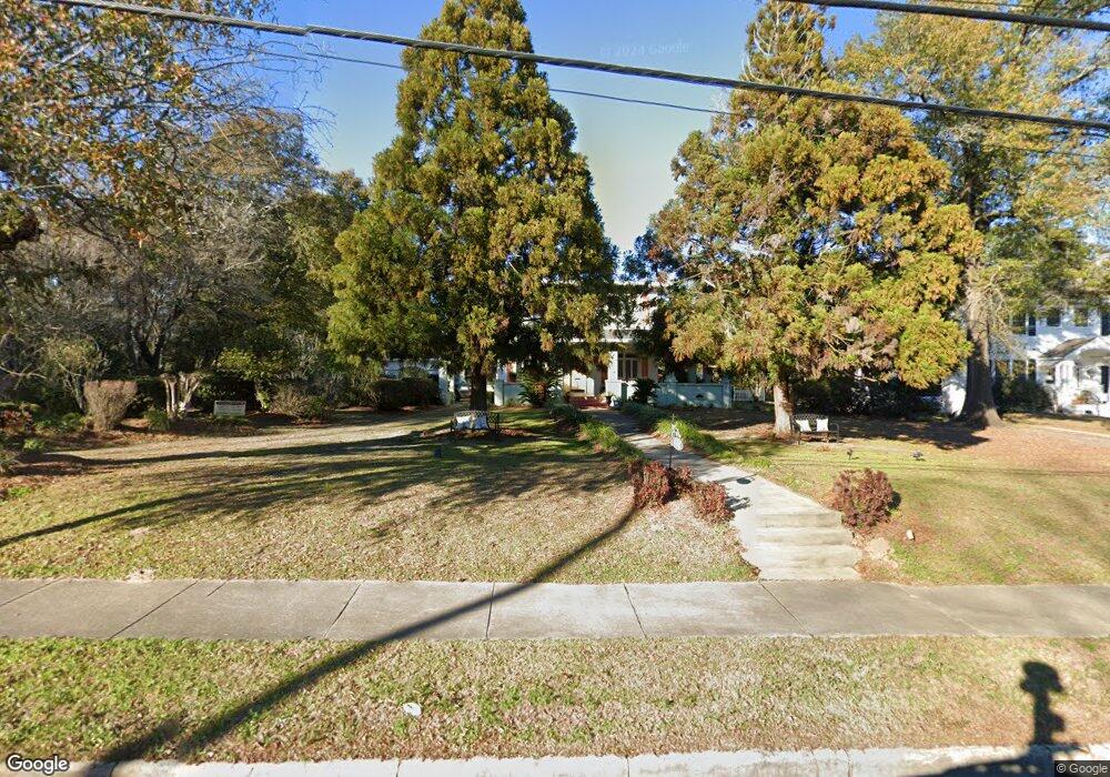
This home is located at 647 E Broad St, Ozark, AL 36360 and is currently estimated at $296,151, approximately $107 per square foot. 647 E Broad St is a home located in Dale County with nearby schools including Lisenby Primary School, Mixon Intermediate School, and D. A. Smith Middle School.
Ownership History
Date
Name
Owned For
Owner Type
Purchase Details
Closed on
Jul 9, 2020
Sold by
Gilland Fredric A and Gilland Sherri R
Bought by
Brown Joseph O and Brown Rosiland P
Current Estimated Value
Home Financials for this Owner
Home Financials are based on the most recent Mortgage that was taken out on this home.
Original Mortgage
$255,290
Outstanding Balance
$226,374
Interest Rate
3.1%
Mortgage Type
FHA
Estimated Equity
$69,777
Create a Home Valuation Report for This Property
The Home Valuation Report is an in-depth analysis detailing your home's value as well as a comparison with similar homes in the area
Home Values in the Area
Average Home Value in this Area
Purchase History
| Date | Buyer | Sale Price | Title Company |
|---|---|---|---|
| Brown Joseph O | $260,000 | None Available |
Source: Public Records
Mortgage History
| Date | Status | Borrower | Loan Amount |
|---|---|---|---|
| Open | Brown Joseph O | $255,290 |
Source: Public Records
Tax History Compared to Growth
Tax History
| Year | Tax Paid | Tax Assessment Tax Assessment Total Assessment is a certain percentage of the fair market value that is determined by local assessors to be the total taxable value of land and additions on the property. | Land | Improvement |
|---|---|---|---|---|
| 2024 | $1,237 | $25,560 | $3,420 | $22,140 |
| 2023 | $1,237 | $22,500 | $3,420 | $19,080 |
| 2022 | $895 | $18,800 | $18,800 | $0 |
| 2021 | $838 | $17,660 | $3,420 | $14,240 |
| 2020 | $838 | $20,000 | $2,100 | $17,900 |
| 2019 | $956 | $20,000 | $2,100 | $17,900 |
| 2018 | $891 | $18,720 | $2,100 | $16,620 |
| 2017 | $891 | $18,720 | $2,100 | $16,620 |
| 2016 | $891 | $18,720 | $2,100 | $16,620 |
| 2015 | $1,002 | $20,920 | $2,100 | $18,820 |
| 2014 | $987 | $20,620 | $2,100 | $18,520 |
| 2013 | $978 | $20,620 | $2,100 | $18,520 |
Source: Public Records
Map
Nearby Homes
- 727 E Eufaula St
- 496 E Broad St
- 332 E Broad St
- 298 E Broad St
- 118 Hickory Ct
- 203 Ozark Ave
- 0 Pierces Station 14a Unit 204870
- 0 Pierces Station 15a Unit 204869
- 0 Pierces Station 18a Unit 204868
- 0 Ellens Path 22b Unit 204865
- 0 Ellens Path 21b Unit 204866
- 0 Ellens Path 20b Unit 204867
- 0 Pierces Station 17a Unit 204859
- 0 Ellens Path 26b Unit 204858
- 0 Ellens Path 25b Unit 204860
- 0 Ellens Path 23b Unit 204863
- 0 Ellens Path 24b Unit 204862
- 0 Ellens Path 31b Unit 204856
- 0 Ellens Path 27b Unit 204857
- 0 Ellens Path 34b Unit 204853
- 667 E Broad St
- 623 E Broad St
- 603 W Highway 27
- 644 E Broad St
- 644 E Broad St
- Lot 000 E Broad St
- 000 E Broad St
- 664 E Broad St
- 622 E Broad St
- 705 E Broad St
- 583 E Broad St
- 583 E Broad St
- LOT 25 Jones St
- LOT 23 Jones St
- LOT 24 Jones St
- 0 Jones St
- 596 E Broad St
- 684 E Broad St
- 706 E Broad St
- 706 E Broad St