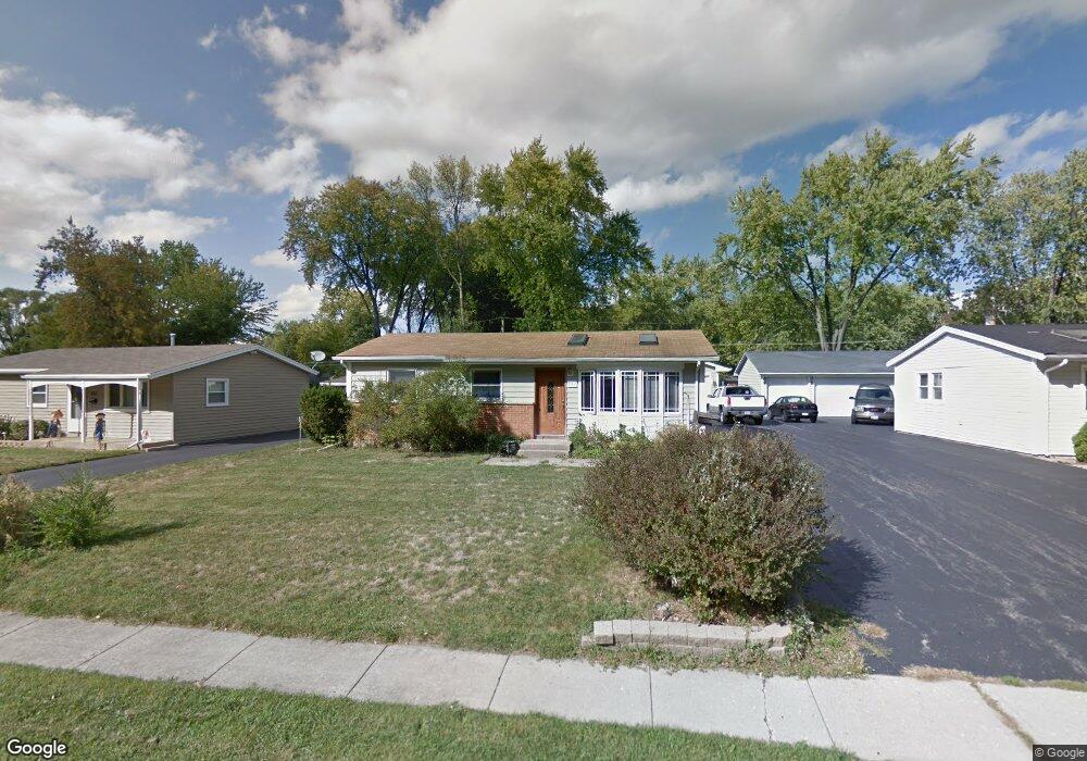
647 Walnut Rd Wauconda, IL 60084
Wauconda AreaEstimated Value: $248,000 - $275,000
About This Home
This home is located at 647 Walnut Rd, Wauconda, IL 60084 and is currently estimated at $263,004, approximately $280 per square foot. 647 Walnut Rd is a home located in Lake County with nearby schools including Robert Crown School, Wauconda Middle School, and Wauconda High School.
Ownership History
We collect this data history from publicly available records. To have your information removed, we recommend requesting removal directly through your county’s website.
Purchase Details
Purchase Details
Home Values in the Area
Average Home Value in this Area
Purchase History
We collect this data history from publicly available records. To have your information removed, we recommend requesting removal directly through your county’s website.
| Date | Buyer | Sale Price | Title Company |
|---|---|---|---|
| -- | Attorney | ||
| $105,000 | -- |
Mortgage History
We collect this data history from publicly available records. To have your information removed, we recommend requesting removal directly through your county’s website.
| Date | Status | Borrower | Loan Amount |
|---|---|---|---|
| Open | $176,013 | ||
| Closed | $20,649 | ||
| Closed | $12,000 | ||
| Closed | $136,000 |
Tax History
We collect this data history from publicly available records. To have your information removed, we recommend requesting removal directly through your county’s website.
| Year | Tax Paid | Tax Assessment Tax Assessment Total Assessment is a certain percentage of the fair market value that is determined by local assessors to be the total taxable value of land and additions on the property. | Land | Improvement |
|---|---|---|---|---|
| 2025 | $5,009 | $68,642 | $13,618 | $55,024 |
| 2024 | $4,464 | $64,302 | $12,757 | $51,545 |
| 2023 | $4,464 | $53,434 | $10,601 | $42,833 |
| 2022 | $5,001 | $51,828 | $12,915 | $38,913 |
| 2021 | $4,757 | $48,973 | $12,204 | $36,769 |
| 2020 | $4,590 | $46,677 | $11,632 | $35,045 |
| 2019 | $4,065 | $44,114 | $10,993 | $33,121 |
| 2018 | $3,489 | $36,365 | $11,586 | $24,779 |
| 2017 | $3,483 | $35,944 | $11,452 | $24,492 |
| 2016 | $3,250 | $34,038 | $10,845 | $23,193 |
| 2015 | $3,019 | $31,248 | $9,956 | $21,292 |
| 2014 | $3,066 | $33,008 | $7,238 | $25,770 |
| 2012 | $3,016 | $32,260 | $6,925 | $25,335 |
Map
- 641 Clover Rd
- 700 Larkdale Row
- 410 Willow Rd
- 506 Old Country Way
- 549 Farmhill Cir
- 689 Laurel Ave
- 406 Brown St
- 1080 Larkdale Row
- 27514 N Forest Garden Rd
- 285 Regency Court Unit B Ct
- 255 Regency Ct Unit D
- 621 W Slocum Lake Rd
- 225 Regency Ct Unit A
- 460 N Main St Unit N403A
- 450 N Main St Unit S407A
- 138 Parkview Dr Unit 5138
- 28331 W Main St
- 541 Meadowview Dr
- 27125 N Williams Park Rd
- 580 Sycamore Cir
- 649 Clover Rd
- 635 Clover Rd
- 657 Clover Rd
- 615 Larkdale Row
- 605 Larkdale Row
- 625 Larkdale Row
- 644 Clover Rd
- 661 Clover Rd
- 652 Clover Rd
- 638 Clover Rd
- 660 Clover Rd
- 635 Larkdale Row
- 630 Clover Rd
- 664 Clover Rd
- 669 Clover Rd
- 225 Larkdale Row
- 645 Larkdale Row
- 674 Clover Rd
- 565 Larkdale Row
- 641 Walnut Rd
Ask me questions while you tour the home.