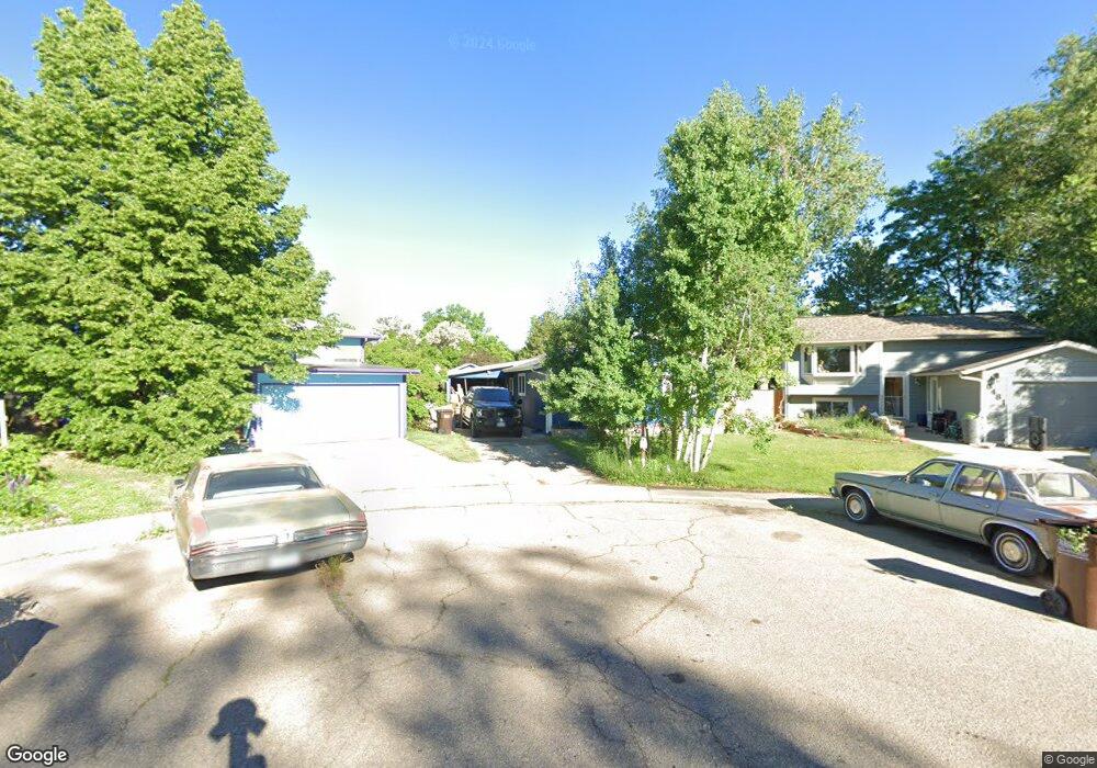
6471 Jib Ct Boulder, CO 80301
Gunbarrel NeighborhoodEstimated Value: $633,363 - $674,000
About This Home
This home is located at 6471 Jib Ct, Boulder, CO 80301 and is currently estimated at $647,091, approximately $638 per square foot. 6471 Jib Ct is a home located in Boulder County with nearby schools including Heatherwood Elementary School, Nevin Platt Middle School, and Boulder High School.
Ownership History
We collect this data history from publicly available records. To have your information removed, we recommend requesting removal directly through your county’s website.
Purchase Details
Purchase Details
Purchase Details
Purchase Details
Home Values in the Area
Average Home Value in this Area
Purchase History
We collect this data history from publicly available records. To have your information removed, we recommend requesting removal directly through your county’s website.
| Date | Buyer | Sale Price | Title Company |
|---|---|---|---|
| $78,400 | -- | ||
| $79,000 | -- | ||
| $35,000 | -- | ||
| -- | -- |
Tax History
We collect this data history from publicly available records. To have your information removed, we recommend requesting removal directly through your county’s website.
| Year | Tax Paid | Tax Assessment Tax Assessment Total Assessment is a certain percentage of the fair market value that is determined by local assessors to be the total taxable value of land and additions on the property. | Land | Improvement |
|---|---|---|---|---|
| 2025 | $3,616 | $45,839 | $16,891 | $28,948 |
| 2024 | $3,220 | $42,131 | $15,525 | $26,606 |
| 2023 | $3,167 | $41,346 | $14,861 | $30,170 |
| 2022 | $3,242 | $33,096 | $11,329 | $21,767 |
| 2021 | $3,092 | $34,049 | $11,655 | $22,394 |
| 2020 | $2,979 | $32,440 | $10,225 | $22,215 |
| 2019 | $2,933 | $32,440 | $10,225 | $22,215 |
| 2018 | $2,697 | $29,484 | $8,424 | $21,060 |
| 2017 | $2,617 | $32,596 | $9,313 | $23,283 |
| 2016 | $2,218 | $24,214 | $7,084 | $17,130 |
| 2015 | $2,107 | $22,192 | $7,721 | $14,471 |
| 2014 | $2,081 | $22,192 | $7,721 | $14,471 |
Map
- 6505 Kalua Rd Unit 302B
- 6545 Kalua Rd Unit 203D
- 4336 63rd St
- 4641 Portside Way
- 4645 Portside Way
- 6238 Willow Ln Unit 6238
- 6686 Jay Rd
- 4584 Robinson Place
- 6239 Willow Ln Unit 6239
- 4575 Robinson Place
- 6201 Willow Ln Unit 6201
- 4056 63rd St
- 6162 Habitat Dr
- 6174 Habitat Dr
- 4676 White Rock Cir Unit 10
- 6108 Habitat Dr Unit 3
- 4682 White Rock Cir Unit 5
- 4837 White Rock Cir Unit H
- 4656 White Rock Cir Unit 7
- 4827 White Rock Cir Unit E
- 6481 Jib Ct
- 6472 Jib Ct
- 6491 Jib Ct
- 4429 Driftwood Place
- 4431 Driftwood Place
- 6482 Jib Ct
- 4433 Driftwood Place
- 4425 Driftwood Place
- 4423 Driftwood Place
- 4435 Mast Rd
- 4435 Driftwood Place
- 6492 Jib Ct
- 4415 Mast Rd
- 4421 Driftwood Place
- 4445 Mast Rd
- 4419 Driftwood Place
- 4405 Mast Rd
- 4401 Mast Rd
- 4432 Driftwood Place
- 4426 Driftwood Place
Ask me questions while you tour the home.