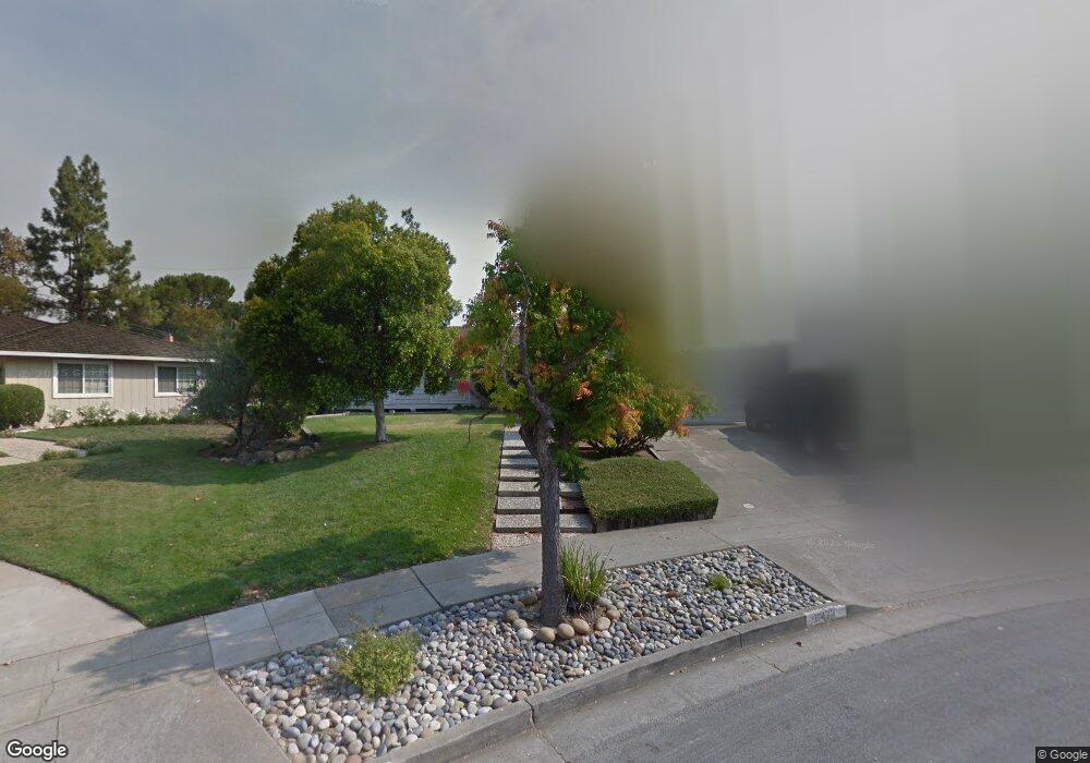
6472 Cranbrook Ct San Jose, CA 95120
Country Club NeighborhoodEstimated Value: $2,127,618 - $2,505,000
4
Beds
3
Baths
2,375
Sq Ft
$991/Sq Ft
Est. Value
About This Home
This home is located at 6472 Cranbrook Ct, San Jose, CA 95120 and is currently estimated at $2,354,655, approximately $991 per square foot. 6472 Cranbrook Ct is a home located in Santa Clara County with nearby schools including Simonds Elementary School, Castillero Middle School, and Leland High School.
Ownership History
Date
Name
Owned For
Owner Type
Purchase Details
Closed on
Sep 30, 2022
Sold by
Rausis Chris L
Bought by
Campos Rausis Family Trust and Campos
Current Estimated Value
Purchase Details
Closed on
Jun 20, 2008
Sold by
Rausis Jeffrey S
Bought by
Rausis Michael J and Rausis Chris L
Home Financials for this Owner
Home Financials are based on the most recent Mortgage that was taken out on this home.
Original Mortgage
$200,000
Interest Rate
5.99%
Mortgage Type
Purchase Money Mortgage
Purchase Details
Closed on
Jan 20, 1992
Sold by
Rausis John H and Rausis Ann M
Bought by
Rausis John H and Rausis Ann M
Create a Home Valuation Report for This Property
The Home Valuation Report is an in-depth analysis detailing your home's value as well as a comparison with similar homes in the area
Home Values in the Area
Average Home Value in this Area
Purchase History
| Date | Buyer | Sale Price | Title Company |
|---|---|---|---|
| Campos Rausis Family Trust | -- | None Listed On Document | |
| Rausis Michael J | -- | Commonwealth Land Title | |
| Rausis John H | -- | -- |
Source: Public Records
Mortgage History
| Date | Status | Borrower | Loan Amount |
|---|---|---|---|
| Previous Owner | Rausis Michael J | $200,000 |
Source: Public Records
Tax History Compared to Growth
Tax History
| Year | Tax Paid | Tax Assessment Tax Assessment Total Assessment is a certain percentage of the fair market value that is determined by local assessors to be the total taxable value of land and additions on the property. | Land | Improvement |
|---|---|---|---|---|
| 2025 | $4,623 | $262,234 | $135,636 | $126,598 |
| 2024 | $4,623 | $257,093 | $132,977 | $124,116 |
| 2023 | $4,500 | $252,053 | $130,370 | $121,683 |
| 2022 | $4,369 | $247,112 | $127,814 | $119,298 |
| 2021 | $4,227 | $242,267 | $125,308 | $116,959 |
| 2020 | $4,092 | $239,784 | $124,024 | $115,760 |
| 2019 | $3,981 | $235,084 | $121,593 | $113,491 |
| 2018 | $3,919 | $230,475 | $119,209 | $111,266 |
| 2017 | $3,874 | $225,957 | $116,872 | $109,085 |
| 2016 | $3,728 | $221,528 | $114,581 | $106,947 |
| 2015 | $3,690 | $218,201 | $112,860 | $105,341 |
| 2014 | $3,210 | $213,928 | $110,650 | $103,278 |
Source: Public Records
Map
Nearby Homes
- 6407 Berwickshire Way
- 6445 Gondola Way
- 6570 Mcabee Rd
- 6605 Barnsdale Ct
- 6824 Leyland Park Dr
- 6641 Leyland Park Dr
- 1101 Culligan Blvd
- 6561 Skyfarm Dr
- 6222 Abbeyfield Ct
- 6384 Farm Hill Way
- 6144 Mancuso St
- 6143 Corte de Belleza
- 6421 Montana Ct
- 1174 Old Oak Dr
- 6107 Oak Forest Way
- 6579 Cooperage Ct
- 6746 Lookout Bend
- 1122 Hearth Ct
- 1357 Box Canyon Rd
- 1278 Poker Flat Place
- 6476 Cranbrook Ct
- 6468 Cranbrook Ct
- 1283 Rio Hondo Dr
- 1285 Rio Hondo Dr
- 1281 Rio Hondo Dr
- 6464 Cranbrook Ct
- 6480 Cranbrook Ct
- 1289 Rio Hondo Dr
- 6461 Cranbrook Ct
- 6471 Oakcrest Dr
- 6475 Oakcrest Dr
- 6460 Cranbrook Ct
- 6484 Cranbrook Ct
- 6469 Oakcrest Dr
- 6477 Oakcrest Dr
- 1293 Rio Hondo Dr
- 6479 Cranbrook Ct
- 6487 Cranbrook Ct
- 6457 Cranbrook Ct