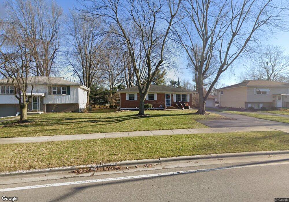
6472 Karl Rd Columbus, OH 43229
Northgate NeighborhoodEstimated Value: $257,081 - $268,000
3
Beds
2
Baths
930
Sq Ft
$283/Sq Ft
Est. Value
About This Home
This home is located at 6472 Karl Rd, Columbus, OH 43229 and is currently estimated at $263,270, approximately $283 per square foot. 6472 Karl Rd is a home located in Franklin County with nearby schools including Alpine Elementary School, Northgate Intermediate, and Woodward Park Middle School.
Ownership History
Date
Name
Owned For
Owner Type
Purchase Details
Closed on
Oct 20, 1999
Sold by
Zegler Jennifer L
Bought by
Robbins Kelly A
Current Estimated Value
Home Financials for this Owner
Home Financials are based on the most recent Mortgage that was taken out on this home.
Original Mortgage
$88,000
Outstanding Balance
$26,469
Interest Rate
7.78%
Estimated Equity
$236,801
Purchase Details
Closed on
May 27, 1997
Sold by
Witt Steven and Witt Joy
Bought by
Zegler Jennifer L and Robbins Kelly A
Home Financials for this Owner
Home Financials are based on the most recent Mortgage that was taken out on this home.
Original Mortgage
$88,110
Interest Rate
8.27%
Purchase Details
Closed on
Nov 26, 1996
Sold by
Sgandurra Charles A
Bought by
Witt Steven and Witt Joy
Purchase Details
Closed on
Apr 22, 1993
Create a Home Valuation Report for This Property
The Home Valuation Report is an in-depth analysis detailing your home's value as well as a comparison with similar homes in the area
Home Values in the Area
Average Home Value in this Area
Purchase History
| Date | Buyer | Sale Price | Title Company |
|---|---|---|---|
| Robbins Kelly A | -- | Chicago Title West | |
| Zegler Jennifer L | $92,800 | Chicago Title West | |
| Witt Steven | $87,349 | -- | |
| -- | -- | -- |
Source: Public Records
Mortgage History
| Date | Status | Borrower | Loan Amount |
|---|---|---|---|
| Open | Robbins Kelly A | $88,000 | |
| Previous Owner | Zegler Jennifer L | $88,110 |
Source: Public Records
Tax History Compared to Growth
Tax History
| Year | Tax Paid | Tax Assessment Tax Assessment Total Assessment is a certain percentage of the fair market value that is determined by local assessors to be the total taxable value of land and additions on the property. | Land | Improvement |
|---|---|---|---|---|
| 2024 | $3,392 | $75,570 | $17,850 | $57,720 |
| 2023 | $3,348 | $75,565 | $17,850 | $57,715 |
| 2022 | $2,494 | $48,090 | $13,930 | $34,160 |
| 2021 | $2,499 | $48,090 | $13,930 | $34,160 |
| 2020 | $2,502 | $48,090 | $13,930 | $34,160 |
| 2019 | $2,304 | $37,980 | $11,130 | $26,850 |
| 2018 | $2,079 | $37,980 | $11,130 | $26,850 |
| 2017 | $2,303 | $37,980 | $11,130 | $26,850 |
| 2016 | $2,048 | $30,910 | $8,440 | $22,470 |
| 2015 | $1,859 | $30,910 | $8,440 | $22,470 |
| 2014 | $1,863 | $30,910 | $8,440 | $22,470 |
| 2013 | $1,021 | $34,335 | $9,380 | $24,955 |
Source: Public Records
Map
Nearby Homes
- 6458 Faircrest Rd
- 6407 Faircrest Rd
- 1421 Bosworth Place
- 1409 Bosworth Place
- 1635 Tendril Ct
- 6342 Bellmeadow Dr
- 6407 Skywae Dr
- 1322 Bolenhill Ct
- 1294 Clydesdale Ct
- 1268 Kildale Ct
- 1549 Alpine Dr
- 1755 Hillandale Ave
- 6355 Johnanne St
- 6496 Hearthstone Ave
- 1288 Oakfield Dr N
- 6245 Sharon Woods Blvd
- 6035 Karl Rd
- 6189 Northgap Dr
- 6448 Sharon Woods Blvd Unit B
- 6211 Parkdale Dr
- 6464 Karl Rd
- 6480 Karl Rd
- 6488 Karl Rd
- 6459 Faircrest Rd
- 1552 Cranwood Dr
- 6467 Faircrest Rd
- 1560 Cranwood Dr
- 6479 Faircrest Rd
- 6483 Faircrest Rd
- 6496 Karl Rd
- 6471 Karl Rd
- 6487 Karl Rd
- 1568 Cranwood Dr
- 6491 Faircrest Rd
- 6495 Karl Rd
- 6504 Karl Rd
- 1545 Cranwood Dr
- 1516 Cranwood Dr
- 1557 Cranwood Dr
- 6499 Faircrest Rd