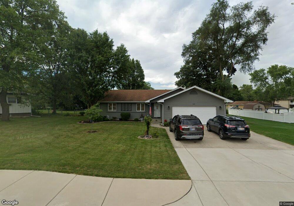
648 E Burrell Dr Crown Point, IN 46307
Estimated Value: $304,032 - $414,000
3
Beds
2
Baths
1,475
Sq Ft
$241/Sq Ft
Est. Value
About This Home
This home is located at 648 E Burrell Dr, Crown Point, IN 46307 and is currently estimated at $356,008, approximately $241 per square foot. 648 E Burrell Dr is a home located in Lake County with nearby schools including Dwight D. Eisenhower Elementary School, Robert Taft Middle School, and Crown Point High School.
Ownership History
Date
Name
Owned For
Owner Type
Purchase Details
Closed on
Feb 25, 2005
Sold by
Weeks Bryan D and Weeks Linda A
Bought by
Daily Susan G
Current Estimated Value
Home Financials for this Owner
Home Financials are based on the most recent Mortgage that was taken out on this home.
Original Mortgage
$107,000
Outstanding Balance
$53,468
Interest Rate
5.8%
Mortgage Type
Fannie Mae Freddie Mac
Estimated Equity
$302,540
Create a Home Valuation Report for This Property
The Home Valuation Report is an in-depth analysis detailing your home's value as well as a comparison with similar homes in the area
Home Values in the Area
Average Home Value in this Area
Purchase History
| Date | Buyer | Sale Price | Title Company |
|---|---|---|---|
| Daily Susan G | -- | Community Title Company |
Source: Public Records
Mortgage History
| Date | Status | Borrower | Loan Amount |
|---|---|---|---|
| Open | Daily Susan G | $107,000 |
Source: Public Records
Tax History
| Year | Tax Paid | Tax Assessment Tax Assessment Total Assessment is a certain percentage of the fair market value that is determined by local assessors to be the total taxable value of land and additions on the property. | Land | Improvement |
|---|---|---|---|---|
| 2025 | $2,252 | $266,500 | $35,800 | $230,700 |
| 2024 | $2,252 | $250,100 | $35,800 | $214,300 |
| 2023 | $2,207 | $206,200 | $35,800 | $170,400 |
| 2022 | $2,219 | $201,200 | $35,800 | $165,400 |
| 2021 | $2,083 | $189,200 | $24,000 | $165,200 |
| 2020 | $2,053 | $186,600 | $24,000 | $162,600 |
| 2019 | $1,996 | $177,600 | $24,000 | $153,600 |
| 2018 | $2,066 | $171,600 | $24,000 | $147,600 |
| 2017 | $2,040 | $168,600 | $24,000 | $144,600 |
| 2016 | $2,045 | $166,800 | $24,000 | $142,800 |
| 2014 | $1,794 | $160,700 | $24,000 | $136,700 |
| 2013 | $1,868 | $163,900 | $24,000 | $139,900 |
Source: Public Records
Map
Nearby Homes
- 244 Sawgrass Dr
- 246 Sawgrass Dr
- 248 Sawgrass Dr
- 12819 Grant St
- 255 Nomo Place
- 283 Nomo Place
- 12728 Ellsworth St
- 12938 Hayes St
- 347 Sawgrass Dr
- 10330 Privet Dr
- 2184 W 129th Place
- 2725 W 127th Ln
- 1051 W 129th Ave
- 809 W 126th Ct
- 1540 Brackenbury Ln
- 903 S Main St
- 1002 Gordon Ct
- 221 E Elizabeth Dr
- 217 Crestview Ln
- 991 Greenview Dr
- 636 E Burrell Dr
- 660 E Burrell Dr
- 667 Hemlock Dr
- 651 Hemlock Dr
- 681 Hemlock Dr
- 624 E Burrell Dr
- 672 E Burrell Dr
- 633 Hemlock Dr
- 665 E Burrell Dr
- 691 Hemlock Dr
- 612 E Burrell Dr
- 672 Hemlock Dr
- 654 Hemlock Dr
- 615 Hemlock Dr
- 690 Hemlock Dr
- 673 E Burrell Dr
- 636 Hemlock Dr
- 699 Hemlock Dr
- 1435 Hayes St
- 600 E Burrell Dr
Your Personal Tour Guide
Ask me questions while you tour the home.