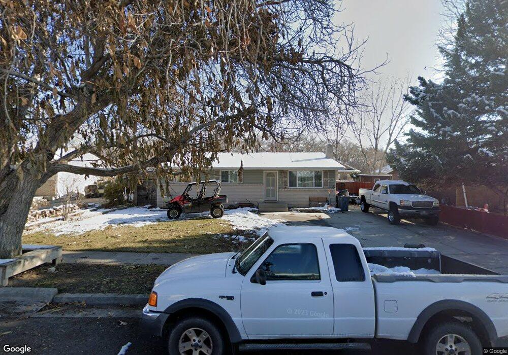
648 N 400 E American Fork, UT 84003
Estimated Value: $472,000 - $515,000
3
Beds
2
Baths
1,080
Sq Ft
$458/Sq Ft
Est. Value
About This Home
This home is located at 648 N 400 E, American Fork, UT 84003 and is currently estimated at $494,350, approximately $457 per square foot. 648 N 400 E is a home located in Utah County with nearby schools including Forbes Elementary School, American Fork Junior High School, and American Fork High School.
Ownership History
Date
Name
Owned For
Owner Type
Purchase Details
Closed on
Jan 7, 2008
Sold by
Kinder Wayne R and Kinder Raelyn
Bought by
Beardall Ronnie
Current Estimated Value
Home Financials for this Owner
Home Financials are based on the most recent Mortgage that was taken out on this home.
Original Mortgage
$220,000
Outstanding Balance
$138,070
Interest Rate
6.05%
Mortgage Type
Purchase Money Mortgage
Estimated Equity
$356,280
Purchase Details
Closed on
Dec 5, 1996
Sold by
Whittle Cyril M
Bought by
Kinder Wayne
Home Financials for this Owner
Home Financials are based on the most recent Mortgage that was taken out on this home.
Original Mortgage
$30,000
Interest Rate
7.86%
Mortgage Type
Seller Take Back
Create a Home Valuation Report for This Property
The Home Valuation Report is an in-depth analysis detailing your home's value as well as a comparison with similar homes in the area
Home Values in the Area
Average Home Value in this Area
Purchase History
| Date | Buyer | Sale Price | Title Company |
|---|---|---|---|
| Beardall Ronnie | -- | Horizon Title Insurance | |
| Kinder Wayne | -- | -- |
Source: Public Records
Mortgage History
| Date | Status | Borrower | Loan Amount |
|---|---|---|---|
| Open | Beardall Ronnie | $220,000 | |
| Previous Owner | Kinder Wayne | $30,000 |
Source: Public Records
Tax History
| Year | Tax Paid | Tax Assessment Tax Assessment Total Assessment is a certain percentage of the fair market value that is determined by local assessors to be the total taxable value of land and additions on the property. | Land | Improvement |
|---|---|---|---|---|
| 2025 | $2,067 | $246,950 | -- | -- |
| 2024 | $2,067 | $229,680 | $0 | $0 |
| 2023 | $1,780 | $209,660 | $0 | $0 |
| 2022 | $2,054 | $238,755 | $0 | $0 |
| 2021 | $1,758 | $319,200 | $135,900 | $183,300 |
| 2020 | $1,644 | $289,500 | $121,300 | $168,200 |
| 2019 | $1,484 | $270,300 | $114,400 | $155,900 |
| 2018 | $1,376 | $239,600 | $104,000 | $135,600 |
| 2017 | $1,370 | $128,755 | $0 | $0 |
| 2016 | $1,313 | $114,620 | $0 | $0 |
| 2015 | $1,338 | $110,880 | $0 | $0 |
| 2014 | $1,265 | $103,400 | $0 | $0 |
Source: Public Records
Map
Nearby Homes
- 474 E 580 N
- 610 N 300 E
- 788 N 150 E Unit 3
- 807 N 150 E
- 783 N 150 E
- 793 N 150 E
- 410 N 600 E
- 822 N 150 E Unit 5
- 780 N 100 E
- 261 N 500 E
- 266 N 500 E
- 183 E 760 St N
- 894 N 60 E
- 837 E 475 N
- 374 N Center St
- 198 N 600 E
- 4650 W Magnolia Drive Dr Unit 8
- 10238 N 6530 W Unit 15
- 5277 N 11200 W Unit 4
- 5284 N 11200 W Unit 3
- 660 N 400 E
- 636 N 400 E
- 670 N 400 E
- 627 Riverwalk Dr
- 639 Riverwalk Dr
- 622 N 400 E
- 641 Riverwalk Dr
- 641 Riverwalk Dr Unit Lot 6
- 615 Riverwalk Dr Unit 9
- 651 N 400 E
- 680 N 400 E
- 661 N 400 E
- 653 Riverwalk Dr
- 653 Riverwalk Dr Unit 5
- 603 Riverwalk Dr
- 616 N 400 E
- 629 N 400 E
- 671 N 400 E
- 690 N 400 E
- 665 Riverwalk Dr
Your Personal Tour Guide
Ask me questions while you tour the home.