6481 Us Highway 212 Red Lodge, MT 59068
Estimated Value: $1,573,000 - $1,651,714
4
Beds
5
Baths
3,744
Sq Ft
$431/Sq Ft
Est. Value
About This Home
This home is located at 6481 Us Highway 212, Red Lodge, MT 59068 and is currently estimated at $1,612,357, approximately $430 per square foot. 6481 Us Highway 212 is a home located in Carbon County with nearby schools including Mountain View School, Roosevelt Junior High School, and Red Lodge High School.
Ownership History
Date
Name
Owned For
Owner Type
Purchase Details
Closed on
Mar 24, 2016
Sold by
Katcha T Llc
Bought by
Demars Scott G
Current Estimated Value
Home Financials for this Owner
Home Financials are based on the most recent Mortgage that was taken out on this home.
Original Mortgage
$743,200
Outstanding Balance
$599,697
Interest Rate
4.25%
Mortgage Type
New Conventional
Estimated Equity
$1,012,660
Create a Home Valuation Report for This Property
The Home Valuation Report is an in-depth analysis detailing your home's value as well as a comparison with similar homes in the area
Home Values in the Area
Average Home Value in this Area
Purchase History
| Date | Buyer | Sale Price | Title Company |
|---|---|---|---|
| Demars Scott G | -- | -- |
Source: Public Records
Mortgage History
| Date | Status | Borrower | Loan Amount |
|---|---|---|---|
| Open | Demars Scott G | $743,200 |
Source: Public Records
Tax History Compared to Growth
Tax History
| Year | Tax Paid | Tax Assessment Tax Assessment Total Assessment is a certain percentage of the fair market value that is determined by local assessors to be the total taxable value of land and additions on the property. | Land | Improvement |
|---|---|---|---|---|
| 2025 | $5,545 | $1,283,716 | $0 | $0 |
| 2024 | $5,927 | $1,004,928 | $0 | $0 |
| 2023 | $6,021 | $1,004,928 | $0 | $0 |
| 2022 | $4,998 | $720,703 | $0 | $0 |
| 2021 | $4,867 | $720,713 | $0 | $0 |
| 2020 | $5,462 | $797,670 | $0 | $0 |
| 2019 | $5,560 | $797,670 | $0 | $0 |
| 2018 | $5,240 | $749,016 | $0 | $0 |
| 2017 | $5,344 | $749,016 | $0 | $0 |
| 2016 | $4,735 | $656,167 | $0 | $0 |
| 2015 | $4,531 | $656,167 | $0 | $0 |
| 2014 | $4,122 | $328,235 | $0 | $0 |
Source: Public Records
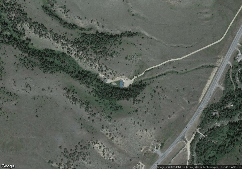
Map
Nearby Homes
- 25 Biorn Ln
- 6625 U S 212
- 17 Rocky Fork Cir
- 198 Meeteetse Trail Rd
- TBD Meeteetse Trail Rd
- TBD Palisades Loop
- 5 Ski Ln
- 5 Comanche Trail
- 4 Elk Run Dr
- 5.3 Acres Palisades Campground
- 15 Wilderness Ln
- NHN Wilderness Ln
- 15 S Spring Creek Ln
- 6802 Us Highway 212
- 1505 Broadway Ave S
- 1505 Broadway Ave S Unit 206
- 4 A Timberline Townhomes
- 318 W 22nd St
- 1 A Timberline Townhomes
- 3 A Timberline Townhomes
- 6445 Us Highway 212
- 6437 U S 212
- 6464 Us Highway 212
- 6468 Us Highway 212
- 6442 Us Highway 212
- 6434 Us Highway 212
- 6474 Us Highway 212
- 6450 Us Highway 212
- 21 Greenough Ln
- 6476 U S 212
- 19 Greenough Ln
- 5 E Side Rd
- 2 Squirrel Ln
- 5B Creekside Townhomes
- Lot 1A Beartooth Mountain Estates
- 2 Songbird Ln
- B10L22 Greenough Way
- 2A Creekside
- 3 Songbird Ln
- 16 Greenough Ln