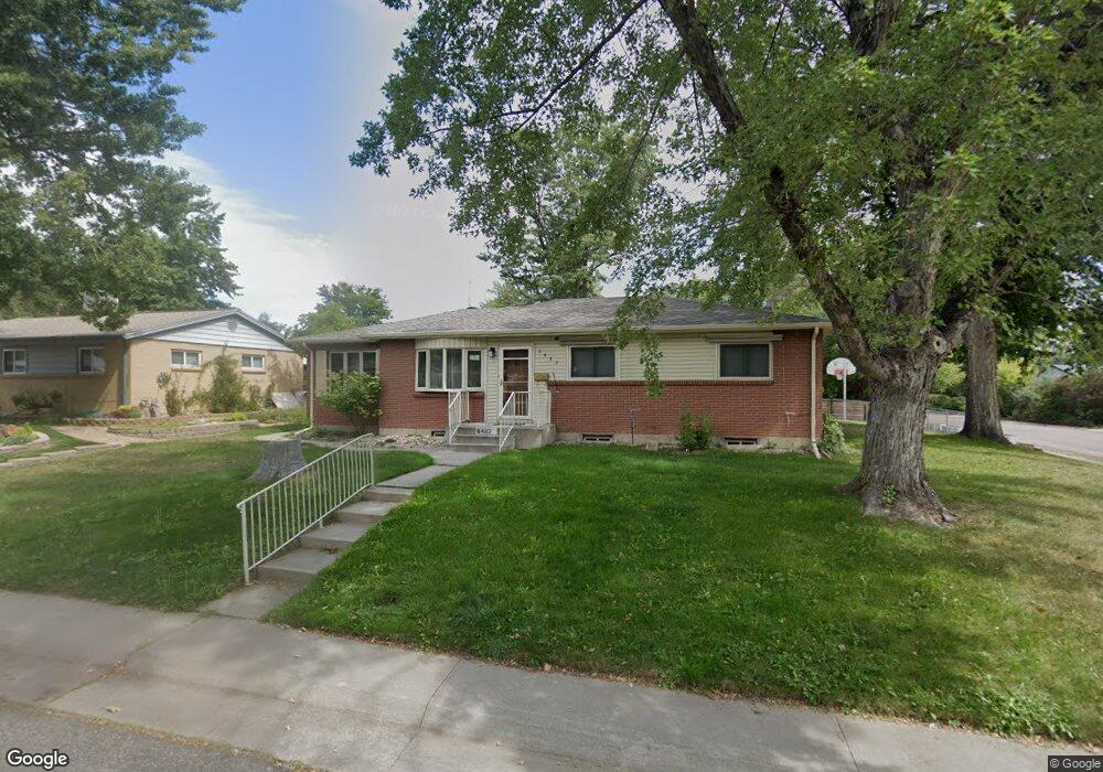
6482 Kipling St Arvada, CO 80004
Alta Vista NeighborhoodEstimated Value: $564,000 - $665,000
3
Beds
3
Baths
1,418
Sq Ft
$436/Sq Ft
Est. Value
About This Home
This home is located at 6482 Kipling St, Arvada, CO 80004 and is currently estimated at $618,856, approximately $436 per square foot. 6482 Kipling St is a home located in Jefferson County with nearby schools including Fremont Elementary School, Oberon Middle School, and Arvada West High School.
Ownership History
Date
Name
Owned For
Owner Type
Purchase Details
Closed on
Dec 8, 2015
Sold by
Hunsaker Gene D and Hunsaker Carolyn L
Bought by
Siler Lisa J and Hunsaker Nathaniel J
Current Estimated Value
Home Financials for this Owner
Home Financials are based on the most recent Mortgage that was taken out on this home.
Original Mortgage
$240,000
Outstanding Balance
$189,291
Interest Rate
3.79%
Mortgage Type
New Conventional
Estimated Equity
$429,565
Create a Home Valuation Report for This Property
The Home Valuation Report is an in-depth analysis detailing your home's value as well as a comparison with similar homes in the area
Home Values in the Area
Average Home Value in this Area
Purchase History
| Date | Buyer | Sale Price | Title Company |
|---|---|---|---|
| Siler Lisa J | $300,000 | Empire Title North Llc |
Source: Public Records
Mortgage History
| Date | Status | Borrower | Loan Amount |
|---|---|---|---|
| Open | Siler Lisa J | $240,000 |
Source: Public Records
Tax History
| Year | Tax Paid | Tax Assessment Tax Assessment Total Assessment is a certain percentage of the fair market value that is determined by local assessors to be the total taxable value of land and additions on the property. | Land | Improvement |
|---|---|---|---|---|
| 2024 | $3,647 | $37,603 | $17,945 | $19,658 |
| 2023 | $3,647 | $37,603 | $17,945 | $19,658 |
| 2022 | $2,948 | $30,107 | $12,915 | $17,192 |
| 2021 | $2,997 | $30,973 | $13,287 | $17,686 |
| 2020 | $2,598 | $26,922 | $10,311 | $16,611 |
| 2019 | $2,563 | $26,922 | $10,311 | $16,611 |
| 2018 | $2,515 | $25,687 | $7,151 | $18,536 |
| 2017 | $2,302 | $25,687 | $7,151 | $18,536 |
| 2016 | $2,013 | $21,154 | $6,595 | $14,559 |
| 2015 | $915 | $21,154 | $6,595 | $14,559 |
| 2014 | $915 | $16,994 | $5,731 | $11,263 |
Source: Public Records
Map
Nearby Homes
- 6457 Lee St
- 6371 Brooks Dr
- 6551 Miller St
- 6648 Lewis St
- 6641 Miller St
- 6393 Moore Ct
- 6209 Brooks Dr
- 6428 Newcombe St Unit A
- 6396 Nelson Ct
- 6168 Lee St
- 6816 Miller St
- 10710 W 66th Ave
- 10693 W 63rd Dr Unit 101
- 10693 W 63rd Dr Unit 102
- 10785 W 63rd Place Unit 202
- 10785 W 63rd Place Unit 105
- 9369 W 67th Ave
- 10731 W 63rd Ave Unit A
- 9303 W 66th Place
- 6350 Oak St Unit 306
- 6492 Kipling St
- 6479 Iris Way
- 6489 Iris Way
- 6472 Kipling St
- 6502 Kipling St
- 6483 Kipling St
- 6469 Iris Way
- 6473 Kipling St
- 6493 Kipling St
- 6499 Iris Way
- 6462 Kipling St
- 6463 Kipling St
- 6503 Kipling St
- 6512 Kipling St
- 6459 Iris Way
- 6478 Iris Way
- 6484 Kline St
- 6507 Iris Way
- 6474 Kline St
- 6453 Kipling St
Your Personal Tour Guide
Ask me questions while you tour the home.