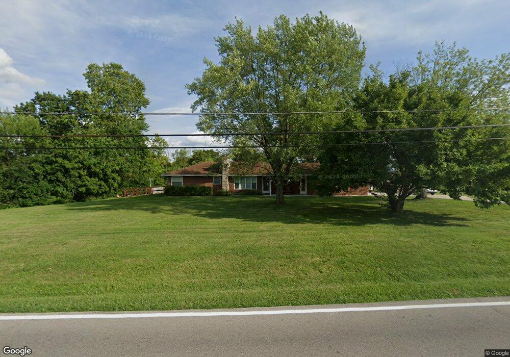
6483 Michael Rd Middletown, OH 45042
Estimated Value: $246,000 - $265,000
3
Beds
1
Bath
1,390
Sq Ft
$181/Sq Ft
Est. Value
About This Home
This home is located at 6483 Michael Rd, Middletown, OH 45042 and is currently estimated at $251,508, approximately $180 per square foot. 6483 Michael Rd is a home located in Butler County with nearby schools including Madison High School.
Ownership History
Date
Name
Owned For
Owner Type
Purchase Details
Closed on
Feb 13, 2017
Sold by
Cales Tim
Bought by
Cales Tim and Cales Paula
Current Estimated Value
Purchase Details
Closed on
Jul 8, 2005
Sold by
Daniel Alan V and Daniel Todd
Bought by
Cales Tim
Home Financials for this Owner
Home Financials are based on the most recent Mortgage that was taken out on this home.
Original Mortgage
$108,000
Interest Rate
5.69%
Mortgage Type
Fannie Mae Freddie Mac
Purchase Details
Closed on
Apr 19, 2005
Sold by
Schenck Amy and Thomas Holcomb J
Bought by
Daniel Alan and Daniel Todd
Purchase Details
Closed on
Jan 21, 2005
Sold by
Schenck Amy
Bought by
Holcomb J Thomas and Schenck Amy
Purchase Details
Closed on
Jan 28, 2004
Sold by
Essig Sara
Bought by
Schenck Amy and The Sara Essig Trust
Create a Home Valuation Report for This Property
The Home Valuation Report is an in-depth analysis detailing your home's value as well as a comparison with similar homes in the area
Home Values in the Area
Average Home Value in this Area
Purchase History
| Date | Buyer | Sale Price | Title Company |
|---|---|---|---|
| Cales Tim | -- | None Available | |
| Cales Tim | $135,000 | -- | |
| Daniel Alan | $105,000 | -- | |
| Holcomb J Thomas | -- | -- | |
| Schenck Amy | -- | -- |
Source: Public Records
Mortgage History
| Date | Status | Borrower | Loan Amount |
|---|---|---|---|
| Previous Owner | Cales Tim | $108,000 |
Source: Public Records
Tax History
| Year | Tax Paid | Tax Assessment Tax Assessment Total Assessment is a certain percentage of the fair market value that is determined by local assessors to be the total taxable value of land and additions on the property. | Land | Improvement |
|---|---|---|---|---|
| 2025 | $3,117 | $75,920 | $14,700 | $61,220 |
| 2024 | $3,117 | $75,920 | $14,700 | $61,220 |
| 2023 | $3,094 | $75,920 | $14,700 | $61,220 |
| 2022 | $2,464 | $52,310 | $14,700 | $37,610 |
| 2021 | $2,209 | $52,310 | $14,700 | $37,610 |
| 2020 | $2,297 | $52,310 | $14,700 | $37,610 |
| 2019 | $1,935 | $40,780 | $14,700 | $26,080 |
| 2018 | $1,937 | $40,780 | $14,700 | $26,080 |
| 2017 | $1,936 | $40,780 | $14,700 | $26,080 |
| 2016 | $1,859 | $37,910 | $14,700 | $23,210 |
| 2015 | $1,871 | $37,910 | $14,700 | $23,210 |
| 2014 | $2,023 | $37,910 | $14,700 | $23,210 |
| 2013 | $2,023 | $41,270 | $14,700 | $26,570 |
Source: Public Records
Map
Nearby Homes
- 1675 Middletown Eaton Rd
- 881 Middletown Eaton Rd
- 2136 Renee Dr
- 6308 Elk Creek Rd
- 489 Emerson Rd
- 640 Hill St
- 2307 Middletown Eaton Rd
- 5800 Trenton Franklin Rd
- 5438 Middletown Oxford Rd
- 5251 Trenton Franklin Rd
- 429 Leichty Ave
- 433 Leichty Ave
- 4892 Mosiman Rd
- 0 Middletown Eaton Rd Unit 952258
- 0 Middletown Eaton Rd Unit 1868870
- 6610 Sloebig Rd
- 50 S Main St
- 224 Yankee Rd
- 308 Yankee Rd
- 908 5th Ave
- 6463 Michael Rd
- 6487 Michael Rd
- 6443 Michael Rd
- 6442 Michael Rd
- 6486 Michael Rd
- 6433 Michael Rd
- 6551 Michael Rd
- 6462 Michael Rd
- 6432 Michael Rd
- 6548 Michael Rd
- 6569 Michael Rd
- 6423 Michael Rd
- 6052 W Alexandria Rd
- 6036 W Alexandria Rd
- 6074 W Alexandria Rd
- 6550 Michael Rd
- 5972 W Alexandria Rd
- 5962 W Alexandria Rd
- 6096 W Alexandria Rd
- 6552 Michael Rd
Your Personal Tour Guide
Ask me questions while you tour the home.