6489 Benjestown Rd Millington, TN 38053
Estimated Value: $300,688 - $334,000
3
Beds
2
Baths
1,793
Sq Ft
$180/Sq Ft
Est. Value
About This Home
This home is located at 6489 Benjestown Rd, Millington, TN 38053 and is currently estimated at $322,563, approximately $179 per square foot. 6489 Benjestown Rd is a home located in Shelby County with nearby schools including E.E. Jeter Elementary School and Trezevant High School.
Ownership History
Date
Name
Owned For
Owner Type
Purchase Details
Closed on
Jul 29, 1999
Sold by
Kramer Chester Alan and Kramer Mary Mincey
Bought by
Byrne Thomas F and Byrne Linda S
Current Estimated Value
Home Financials for this Owner
Home Financials are based on the most recent Mortgage that was taken out on this home.
Original Mortgage
$114,800
Outstanding Balance
$33,015
Interest Rate
7.66%
Estimated Equity
$289,548
Purchase Details
Closed on
Mar 27, 1999
Sold by
Kramer Chester A and Kramer Mary M
Bought by
Mincey Horace A and Mincey Carol A
Create a Home Valuation Report for This Property
The Home Valuation Report is an in-depth analysis detailing your home's value as well as a comparison with similar homes in the area
Home Values in the Area
Average Home Value in this Area
Purchase History
| Date | Buyer | Sale Price | Title Company |
|---|---|---|---|
| Byrne Thomas F | $143,500 | -- | |
| Mincey Horace A | -- | -- |
Source: Public Records
Mortgage History
| Date | Status | Borrower | Loan Amount |
|---|---|---|---|
| Open | Byrne Thomas F | $114,800 |
Source: Public Records
Tax History Compared to Growth
Tax History
| Year | Tax Paid | Tax Assessment Tax Assessment Total Assessment is a certain percentage of the fair market value that is determined by local assessors to be the total taxable value of land and additions on the property. | Land | Improvement |
|---|---|---|---|---|
| 2025 | $1,769 | $67,500 | $17,850 | $49,650 |
| 2024 | $1,769 | $52,175 | $16,950 | $35,225 |
| 2023 | $1,769 | $52,175 | $16,950 | $35,225 |
| 2022 | $1,769 | $52,175 | $16,950 | $35,225 |
| 2021 | $1,800 | $52,175 | $16,950 | $35,225 |
| 2020 | $1,617 | $39,925 | $16,950 | $22,975 |
| 2019 | $1,617 | $39,925 | $16,950 | $22,975 |
| 2018 | $1,617 | $39,925 | $16,950 | $22,975 |
| 2017 | $1,641 | $39,925 | $16,950 | $22,975 |
| 2016 | $1,682 | $38,500 | $0 | $0 |
| 2014 | $1,682 | $38,500 | $0 | $0 |
Source: Public Records
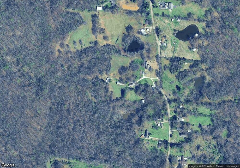
Map
Nearby Homes
- 6621 Benjestown Rd
- 6224 Benjestown Rd
- 6007 Island Forty Rd
- 5921 Benjestown Rd
- 6525 N Watkins Rd
- 0 N Watkins Unit 10203950
- 0 N Watkins Unit 10193620
- 1435 Walsh Cove
- 5423 Breckenwood Dr
- 1 Robertson Rd
- 5382 Beaverton Dr
- 1 Walsh Rd
- 6642 Benjestown Rd
- 5387 Cornstalk Cove
- 5371 Cedar Bluff Dr
- 5315 Braden Dr
- 5306 Beaverton Dr
- 635 Mcwhirter Ave
- 5204 Black Diamond Cove
- 5140 Blacksmith Dr
- 6487 Benjestown Rd
- 6513 Benjestown Rd
- 6449 Benjestown Rd
- 6472 Benjestown Rd
- 6550 Benjestown Rd
- 6441 Benjestown Rd
- 6464 Benjestown Rd
- 6421 Benjestown Rd
- 6446 Benjestown Rd
- 6577 Benjestown Rd
- 6434 Benjestown Rd
- 6403 Benjestown Rd
- 6598 Benjestown Rd
- 6384 Benjestown Rd
- 6624 Benjestown Rd
- 6341 Benjestown Rd
- 6335 Benjestown Rd
- 566 Island Forty Rd
- 6315 Benjestown Rd
- 755 Sylvan Rd