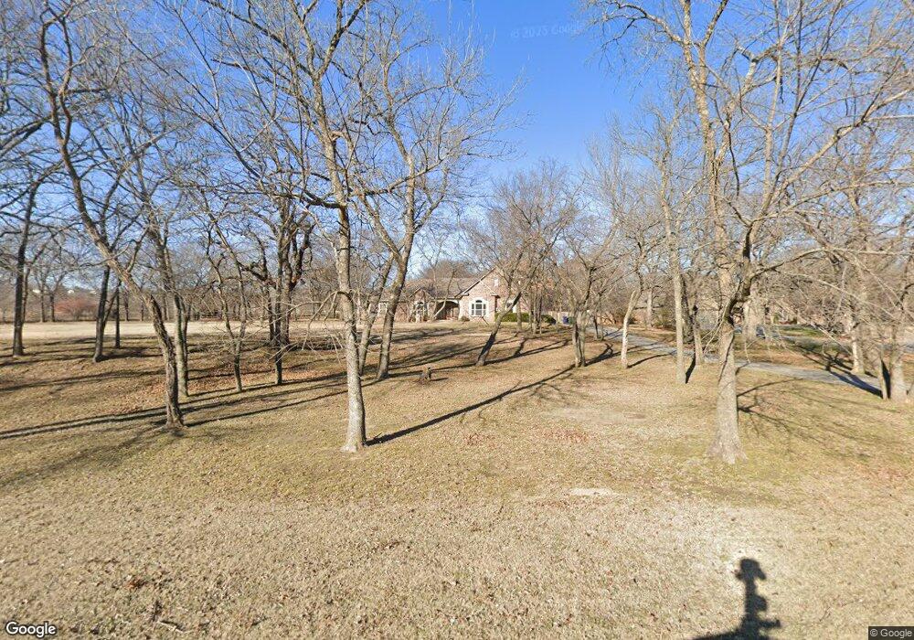
6493 Lindsey Dr Sapulpa, OK 74066
Estimated Value: $458,000 - $647,000
4
Beds
5
Baths
2,957
Sq Ft
$189/Sq Ft
Est. Value
About This Home
This home is located at 6493 Lindsey Dr, Sapulpa, OK 74066 and is currently estimated at $558,668, approximately $188 per square foot. 6493 Lindsey Dr is a home located in Creek County with nearby schools including Kiefer Elementary School, Rongey Middle School, and Kiefer High School.
Ownership History
Date
Name
Owned For
Owner Type
Purchase Details
Closed on
Oct 1, 2014
Sold by
Ramey Bradley D and Ramey Kristy A
Bought by
Birch Larry A
Current Estimated Value
Home Financials for this Owner
Home Financials are based on the most recent Mortgage that was taken out on this home.
Original Mortgage
$285,000
Outstanding Balance
$218,106
Interest Rate
4.13%
Mortgage Type
New Conventional
Estimated Equity
$340,562
Purchase Details
Closed on
May 15, 2006
Sold by
Country Investments Incorporated
Bought by
Ramey Bradley D and Ramey Kristy A
Home Financials for this Owner
Home Financials are based on the most recent Mortgage that was taken out on this home.
Original Mortgage
$245,000
Interest Rate
6.5%
Mortgage Type
Construction
Create a Home Valuation Report for This Property
The Home Valuation Report is an in-depth analysis detailing your home's value as well as a comparison with similar homes in the area
Home Values in the Area
Average Home Value in this Area
Purchase History
| Date | Buyer | Sale Price | Title Company |
|---|---|---|---|
| Birch Larry A | $300,000 | American Abstract & Title Co | |
| Ramey Bradley D | -- | None Available |
Source: Public Records
Mortgage History
| Date | Status | Borrower | Loan Amount |
|---|---|---|---|
| Open | Birch Larry A | $285,000 | |
| Previous Owner | Ramey Bradley D | $245,000 |
Source: Public Records
Tax History Compared to Growth
Tax History
| Year | Tax Paid | Tax Assessment Tax Assessment Total Assessment is a certain percentage of the fair market value that is determined by local assessors to be the total taxable value of land and additions on the property. | Land | Improvement |
|---|---|---|---|---|
| 2025 | $4,086 | $39,938 | $4,410 | $35,528 |
| 2024 | $3,954 | $38,036 | $4,200 | $33,836 |
| 2023 | $3,954 | $36,225 | $4,200 | $32,025 |
| 2022 | $3,460 | $34,500 | $4,200 | $30,300 |
| 2021 | $3,447 | $32,857 | $4,200 | $28,657 |
| 2020 | $3,480 | $34,050 | $4,200 | $29,850 |
| 2019 | $3,576 | $35,629 | $4,200 | $31,429 |
| 2018 | $3,618 | $36,105 | $5,160 | $30,945 |
| 2017 | $3,518 | $36,105 | $5,160 | $30,945 |
| 2016 | $3,530 | $36,105 | $5,160 | $30,945 |
| 2015 | -- | $36,105 | $5,160 | $30,945 |
| 2014 | -- | $24,021 | $3,234 | $20,787 |
Source: Public Records
Map
Nearby Homes
- 13435 S Garrett St
- 6355 Rockwood Cir N
- 8 Ryan Place
- 33 Mary
- 341 N Main St
- 311 E Indiana
- 112 Stark St
- 2810 E Hwy 117
- 8801 S Ridgeview Dr
- 13623 S 97th Ave W
- 1805 Glendale Rd
- 0 E Taft St
- 1014 Ridge Rd
- 1608 Glendale Rd
- 590 Creekside Dr
- 527 Pioneer Rd
- 8850 W 151st St S
- 819 Ridge Rd
- 540 Creekside Dr
- 1440 Mabelle Dr
- 6493 Lindsay Dr
- 6497 Lindsay
- 6489 Lindsay Dr
- 6488 Lense IV Ct
- 6490 Lense IV Ct
- 6490 Lindsey Dr
- 6483 Lindsey Dr
- 6486 Lense IV Ct
- 6484 Lindsay Dr
- 12663 Lindsey Dr
- 6484 Lindsey Dr
- 6484 Lense IV Ct
- 6380 Lindsey Dr
- 6491 Lense IV Ct
- 6489 Lense IV Ct
- 6482 Lense IV Ct
- 6431 Brittany Ct
- 6435 Brittany Ct
- 6430 Brittany Ct
- 6483 Lense IV Ct