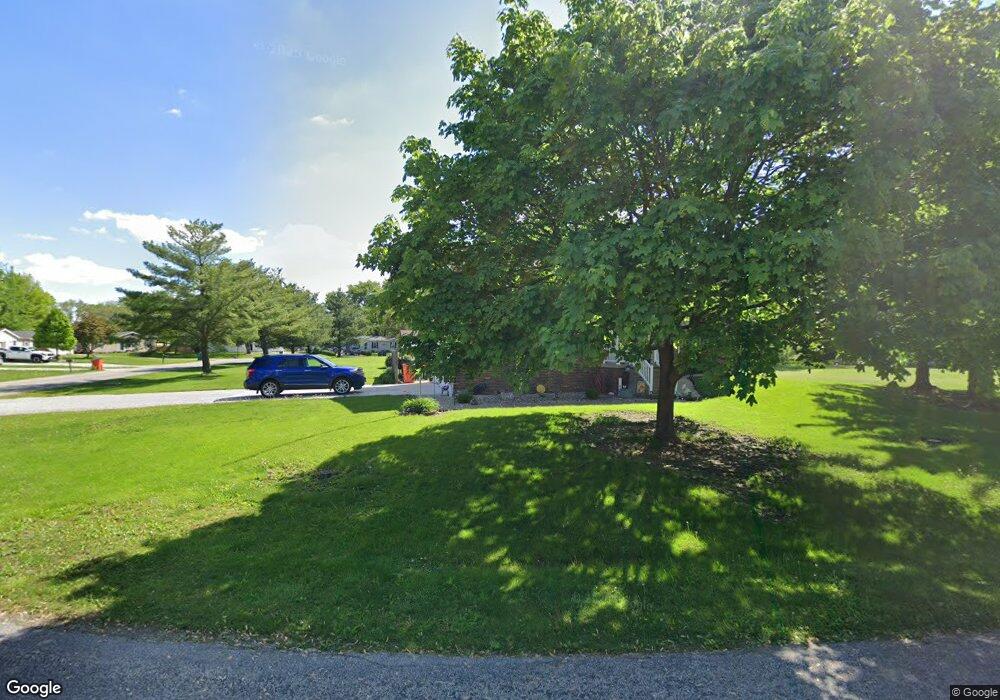
65 Apple Dr Mattoon, IL 61938
Estimated Value: $137,681 - $248,000
4
Beds
2
Baths
2,176
Sq Ft
$77/Sq Ft
Est. Value
About This Home
This home is located at 65 Apple Dr, Mattoon, IL 61938 and is currently estimated at $168,420, approximately $77 per square foot. 65 Apple Dr is a home located in Coles County with nearby schools including Mattoon High School and St Mary School.
Create a Home Valuation Report for This Property
The Home Valuation Report is an in-depth analysis detailing your home's value as well as a comparison with similar homes in the area
Tax History
| Year | Tax Paid | Tax Assessment Tax Assessment Total Assessment is a certain percentage of the fair market value that is determined by local assessors to be the total taxable value of land and additions on the property. | Land | Improvement |
|---|---|---|---|---|
| 2024 | $4 | $39,209 | $6,188 | $33,021 |
| 2023 | $4 | $35,644 | $5,625 | $30,019 |
| 2022 | $4 | $35,055 | $5,532 | $29,523 |
| 2021 | $4 | $31,888 | $5,032 | $26,856 |
| 2020 | $2 | $33,040 | $5,214 | $27,826 |
| 2019 | $1,967 | $31,888 | $5,032 | $26,856 |
| 2018 | $1,948 | $31,888 | $5,032 | $26,856 |
| 2017 | $1,958 | $31,888 | $5,032 | $26,856 |
| 2016 | $1,938 | $31,888 | $5,032 | $26,856 |
| 2015 | $1,974 | $31,888 | $5,032 | $26,856 |
| 2014 | $1,974 | $31,888 | $5,032 | $26,856 |
| 2013 | $1,974 | $31,888 | $5,032 | $26,856 |
Source: Public Records
Map
Nearby Homes
- 3 Apple Dr
- 1401 N 10th St
- 812 N 8th St Unit 64
- 812 N 8th St Unit 36
- 916 Piatt Ave
- 421 Dewitt Ave
- 1 Brown Ct
- 1800 Piatt Ave
- 1905 Dewitt Ave
- 1412 Champaign Ave
- 1117 N 32nd St
- 1104 N 32nd St
- 1612 Richmond Ave
- 420 Crestview Dr
- 2413 Moultrie Ave
- 2305 Shelby Ave
- 2317 Shelby Ave
- 301 Adams St
- 2800 Shelby Ave
- 2305 Richmond Ave
Your Personal Tour Guide
Ask me questions while you tour the home.