65 Blackthorn Rd Vineyard Haven, MA 02568
West Tisbury NeighborhoodEstimated Value: $3,140,000 - $6,605,000
4
Beds
4
Baths
3,856
Sq Ft
$1,155/Sq Ft
Est. Value
About This Home
This home is located at 65 Blackthorn Rd, Vineyard Haven, MA 02568 and is currently estimated at $4,452,820, approximately $1,154 per square foot. 65 Blackthorn Rd is a home located in Dukes County with nearby schools including Martha's Vineyard Regional High School and Martha's Vineyard Charter School.
Ownership History
Date
Name
Owned For
Owner Type
Purchase Details
Closed on
Aug 17, 2022
Sold by
Cole James M and Cole Susan L
Bought by
J & S Cole Ret
Current Estimated Value
Purchase Details
Closed on
Dec 24, 1998
Sold by
Lieberman William K and Lieberman Mary R
Bought by
Cole James M and Cole Susan L
Create a Home Valuation Report for This Property
The Home Valuation Report is an in-depth analysis detailing your home's value as well as a comparison with similar homes in the area
Home Values in the Area
Average Home Value in this Area
Purchase History
| Date | Buyer | Sale Price | Title Company |
|---|---|---|---|
| J & S Cole Ret | -- | None Available | |
| Cole James M | $865,000 | -- |
Source: Public Records
Mortgage History
| Date | Status | Borrower | Loan Amount |
|---|---|---|---|
| Previous Owner | Cole James M | $322,700 | |
| Previous Owner | Cole James M | $322,700 | |
| Previous Owner | Cole James M | $275,000 | |
| Previous Owner | Cole James M | $63,600 |
Source: Public Records
Tax History
| Year | Tax Paid | Tax Assessment Tax Assessment Total Assessment is a certain percentage of the fair market value that is determined by local assessors to be the total taxable value of land and additions on the property. | Land | Improvement |
|---|---|---|---|---|
| 2025 | $17,050 | $3,763,800 | $834,800 | $2,929,000 |
| 2024 | $15,941 | $3,707,100 | $810,600 | $2,896,500 |
| 2023 | $14,558 | $3,339,100 | $772,100 | $2,567,000 |
| 2022 | $12,420 | $2,134,100 | $445,500 | $1,688,600 |
| 2021 | $12,350 | $2,024,600 | $392,000 | $1,632,600 |
| 2020 | $12,288 | $2,024,400 | $386,800 | $1,637,600 |
| 2019 | $10,410 | $1,684,500 | $386,800 | $1,297,700 |
| 2018 | $10,106 | $1,667,600 | $365,700 | $1,301,900 |
| 2017 | $10,641 | $1,782,400 | $383,300 | $1,399,100 |
| 2016 | $10,321 | $1,703,200 | $362,900 | $1,340,300 |
| 2015 | $9,725 | $1,703,200 | $362,900 | $1,340,300 |
| 2014 | $8,397 | $1,552,200 | $422,500 | $1,129,700 |
Source: Public Records
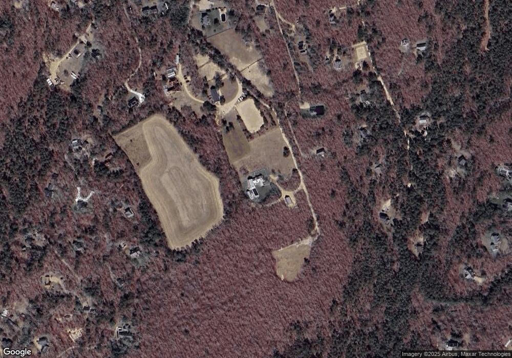
Map
Nearby Homes
- 32 Edgartown - West Tisbury Rd Unit 81
- 10 Danls Way
- 104 Pond View Farm Rd
- 40 Scotchmans Ln
- 25 Vineyard Meadow Farms Rd
- 45 Quenames Rd
- 47 Quenames Rd
- 22 Bramble Path Unit 214
- 22 Bramble Path
- 25 Coffins Field Rd
- 25 Coffins Field Rd Unit 18
- 229 Oak Ln
- 15 Old Farm Rd
- 124 Old Farm Rd Unit 122, 116
- 122 Old Farm Rd
- 37 Bijah's Way Unit 96, 101, 102
- 99 Cygnet Way Unit 103
- 60 Meetinghouse Rd
- 34 Pine Ln
- 85 Reservoir Rd
- 35 Brushbroom Ln
- 34 Brushbroom Ln
- 34 Brushroom Ln
- 47 Willow Tree Hollow
- 47 Willow Tree Hollow Rd
- 57 Willow Tree Hollow
- 63 Willow Tree Hollow
- 39 Willow Tree Hollow
- 39 Blackthorn Rd
- 26 Brushroom Ln
- 29 Willow Tree Hollow
- 26 Brushbroom Ln
- 29 Willow Tree Hollow Rd
- 39 Crow Hollow Rd
- 49 Holly Ln Unit CROW
- 5 Willow Tree Hollow Rd
- 5 Dylans Way
- 1 Dylan's Way
- 21 Willow Tree Hollow
- 11 Brushbroom Ln