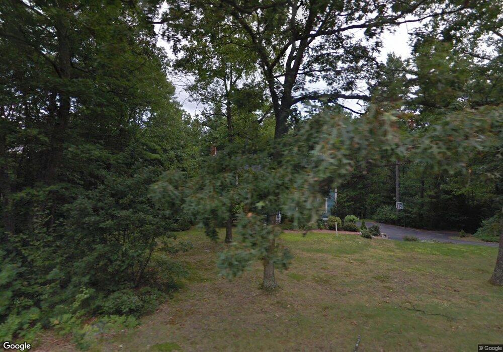
65 Camelot Dr Bedford, NH 03110
Bedford NeighborhoodEstimated Value: $764,146 - $870,000
4
Beds
3
Baths
2,800
Sq Ft
$289/Sq Ft
Est. Value
About This Home
This home is located at 65 Camelot Dr, Bedford, NH 03110 and is currently estimated at $808,787, approximately $288 per square foot. 65 Camelot Dr is a home located in Hillsborough County with nearby schools including Mckelvie Intermediate School, Ross A. Lurgio Middle School, and Bedford High School.
Ownership History
Date
Name
Owned For
Owner Type
Purchase Details
Closed on
Jul 20, 2006
Sold by
Busch Props Inc
Bought by
Albis Benjamin J
Current Estimated Value
Home Financials for this Owner
Home Financials are based on the most recent Mortgage that was taken out on this home.
Original Mortgage
$330,000
Interest Rate
6.67%
Mortgage Type
Purchase Money Mortgage
Purchase Details
Closed on
Apr 7, 2006
Sold by
Vannorman Edward A and Vannorman Wendy L
Bought by
Busch Props Inc
Purchase Details
Closed on
May 21, 2004
Sold by
Longenecker Allen V
Bought by
Vannorman Edward A and Vannorman Van Norman
Purchase Details
Closed on
Jun 28, 2002
Sold by
Persons Michael T and Persons Brenda G
Bought by
Longenecker Allen V
Purchase Details
Closed on
Dec 1, 1999
Sold by
Petalas Sandra L
Bought by
Persons Michael T and Persons Brenda G
Create a Home Valuation Report for This Property
The Home Valuation Report is an in-depth analysis detailing your home's value as well as a comparison with similar homes in the area
Home Values in the Area
Average Home Value in this Area
Purchase History
| Date | Buyer | Sale Price | Title Company |
|---|---|---|---|
| Albis Benjamin J | $412,500 | -- | |
| Busch Props Inc | $427,000 | -- | |
| Vannorman Edward A | $420,000 | -- | |
| Longenecker Allen V | $375,000 | -- | |
| Persons Michael T | $267,000 | -- |
Source: Public Records
Mortgage History
| Date | Status | Borrower | Loan Amount |
|---|---|---|---|
| Open | Persons Michael T | $316,382 | |
| Closed | Persons Michael T | $321,971 | |
| Closed | Persons Michael T | $330,000 |
Source: Public Records
Tax History Compared to Growth
Tax History
| Year | Tax Paid | Tax Assessment Tax Assessment Total Assessment is a certain percentage of the fair market value that is determined by local assessors to be the total taxable value of land and additions on the property. | Land | Improvement |
|---|---|---|---|---|
| 2024 | $11,108 | $702,600 | $294,100 | $408,500 |
| 2023 | $10,398 | $702,600 | $294,100 | $408,500 |
| 2022 | $9,414 | $534,900 | $218,000 | $316,900 |
| 2021 | $9,168 | $534,900 | $218,000 | $316,900 |
| 2020 | $9,023 | $450,700 | $167,600 | $283,100 |
| 2019 | $8,541 | $450,700 | $167,600 | $283,100 |
| 2018 | $8,578 | $420,500 | $167,600 | $252,900 |
| 2017 | $7,952 | $420,500 | $167,600 | $252,900 |
| 2016 | $8,400 | $375,500 | $128,600 | $246,900 |
| 2015 | $8,546 | $375,500 | $128,600 | $246,900 |
| 2014 | $8,449 | $375,500 | $128,600 | $246,900 |
| 2013 | $8,325 | $375,500 | $128,600 | $246,900 |
Source: Public Records
Map
Nearby Homes
- 197 Liberty Hill Rd
- 10 Barrington Dr
- 18 Horizon Dr
- 116 Nashua Rd
- 7 Hamilton Way
- 29 Pebble Beach Dr
- 15 Spyglass Point Cir
- 20 Pebble Beach Dr Unit 22-89-20
- 155 Wallace Rd
- 150 Wallace Rd
- 82 Pilgrim Dr
- 17-4-28 Boiling Kettle Way
- 17-4-28 Boiling Kettle Way Unit 28
- 32 Puritan Dr
- 12 Knoll Crest Dr Unit Lot 5 - The Hannah
- 20 Liberty Hill Rd
- 40 Seton Dr
- 56 Greenfield Pkwy
- 34 Chatham Dr
- 16 Summit Rd
- 65 Camelot Drive (Uac)
- 45 Highland Farms Dr
- 61 Camelot Dr
- 70 Camelot Dr
- 41 Highland Farms Dr
- 69 Camelot Dr
- 49 Highland Farms Dr
- 37 Highland Farms Dr
- 59 Camelot Dr
- 53 Highland Farms Dr
- 78 Camelot Dr
- 44 Highland Farms Dr
- 75 Camelot Dr
- 35 Highland Farms Dr
- 42 Forest Dr
- 46 Forest Dr
- 54 Camelot Dr
- 40 Forest Dr
- 40 Highland Farms Dr
- 50 Forest Dr