65 Carls Ln Mansfield, OH 44905
Estimated Value: $241,000 - $279,000
3
Beds
3
Baths
1,716
Sq Ft
$152/Sq Ft
Est. Value
About This Home
This home is located at 65 Carls Ln, Mansfield, OH 44905 and is currently estimated at $260,770, approximately $151 per square foot. 65 Carls Ln is a home located in Richland County with nearby schools including Madison High School, Temple-Christian School, and St. Mary Catholic School.
Ownership History
Date
Name
Owned For
Owner Type
Purchase Details
Closed on
Dec 4, 2002
Sold by
Beal Gregory F
Bought by
Jeffers Ronald J
Current Estimated Value
Home Financials for this Owner
Home Financials are based on the most recent Mortgage that was taken out on this home.
Original Mortgage
$132,000
Outstanding Balance
$57,271
Interest Rate
6.38%
Mortgage Type
New Conventional
Estimated Equity
$203,499
Purchase Details
Closed on
Jan 16, 1992
Sold by
Hoagland John A
Bought by
Jeffers Ronald J
Create a Home Valuation Report for This Property
The Home Valuation Report is an in-depth analysis detailing your home's value as well as a comparison with similar homes in the area
Home Values in the Area
Average Home Value in this Area
Purchase History
| Date | Buyer | Sale Price | Title Company |
|---|---|---|---|
| Jeffers Ronald J | $165,000 | -- | |
| Jeffers Ronald J | $78,000 | -- |
Source: Public Records
Mortgage History
| Date | Status | Borrower | Loan Amount |
|---|---|---|---|
| Open | Jeffers Ronald J | $132,000 |
Source: Public Records
Tax History Compared to Growth
Tax History
| Year | Tax Paid | Tax Assessment Tax Assessment Total Assessment is a certain percentage of the fair market value that is determined by local assessors to be the total taxable value of land and additions on the property. | Land | Improvement |
|---|---|---|---|---|
| 2024 | $3,349 | $66,290 | $9,790 | $56,500 |
| 2023 | $3,349 | $66,290 | $9,790 | $56,500 |
| 2022 | $2,553 | $46,560 | $7,850 | $38,710 |
| 2021 | $2,552 | $46,560 | $7,850 | $38,710 |
| 2020 | $2,572 | $46,560 | $7,850 | $38,710 |
| 2019 | $2,315 | $39,120 | $6,590 | $32,530 |
| 2018 | $2,295 | $39,120 | $6,590 | $32,530 |
| 2017 | $2,263 | $39,120 | $6,590 | $32,530 |
| 2016 | $2,274 | $38,580 | $6,270 | $32,310 |
| 2015 | $2,238 | $38,580 | $6,270 | $32,310 |
| 2014 | $2,229 | $38,580 | $6,270 | $32,310 |
| 2012 | $1,074 | $40,600 | $6,590 | $34,010 |
Source: Public Records
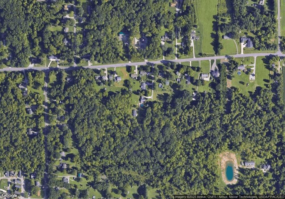
Map
Nearby Homes
- 76 Ford Rd N
- 76 Ford Rd N Unit 20
- 0 Mcelroy Rd
- 304 Esley Ln
- 641 Laver Rd
- 640 Running Brook Way
- 419 N Mcelroy Rd
- 0 McBride Road Parcel # 1 Unit 9066028
- 1303 Park Ave E
- 609 Mcbride Rd
- 36 Ridge Rd S
- 1364 Bonnie Dr
- 632 Coachman Rd
- 602 Champion Rd
- 1495 Timber Rd
- 671 Coachman Rd
- 683 Coachman Rd
- 1226 Evergreen Ave W
- 1282 Redman Ave
- 644 Skyline Rd
- 55 Carls Ln
- 1684 Park Ave E
- 1684 State Route 430
- 1692 Park Ave E
- 1700 Park Ave E
- 1672 Park Ave E
- 1738 Park Ave E
- 1683 Park Ave E
- 1668 Park Ave E
- 1748 Park Ave E
- 1664 Park Ave E
- 1754 Park Ave E
- 1751 Park Ave E
- 1711 Park Ave E
- 1770 Park Ave E
- 1661 Park Ave E
- 1703 Park Ave E
- 0 Woodcrest Dr
- 1778 Park Ave E
- 1650 Park Ave E