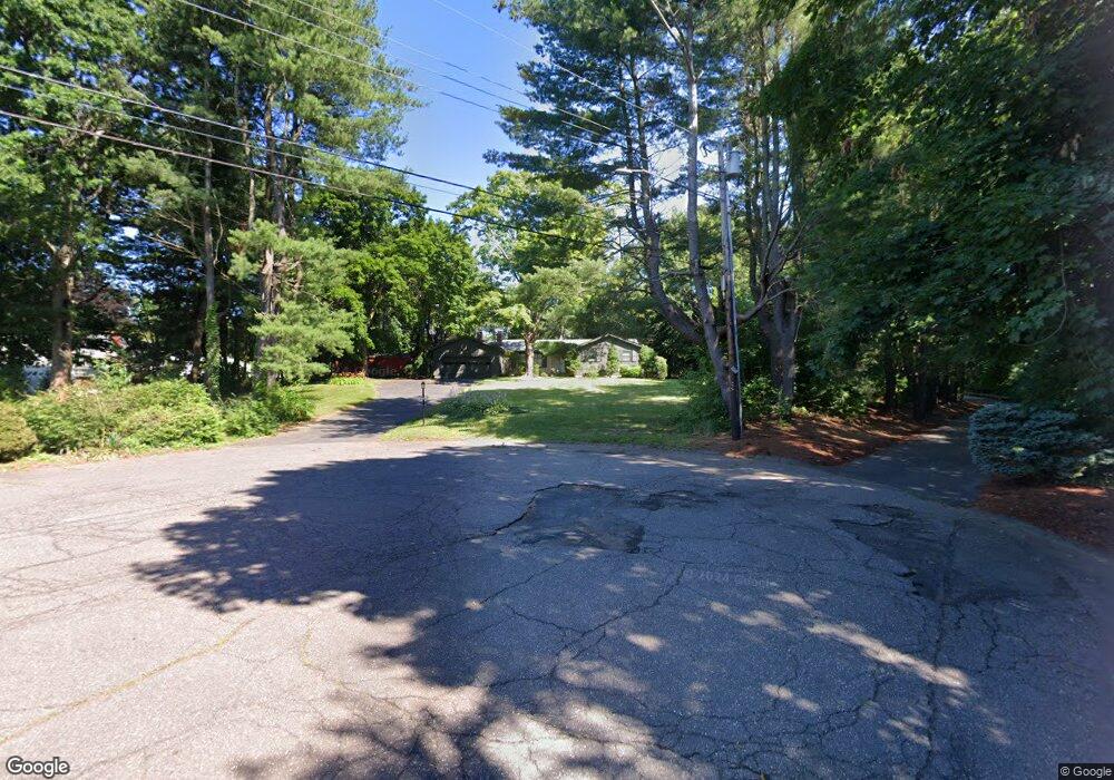
65 Cheston Cir Wethersfield, CT 06109
Estimated Value: $498,000 - $699,000
3
Beds
4
Baths
2,465
Sq Ft
$224/Sq Ft
Est. Value
About This Home
This home is located at 65 Cheston Cir, Wethersfield, CT 06109 and is currently estimated at $551,181, approximately $223 per square foot. 65 Cheston Cir is a home located in Hartford County with nearby schools including Highcrest School, Silas Deane Middle School, and Wethersfield High School.
Create a Home Valuation Report for This Property
The Home Valuation Report is an in-depth analysis detailing your home's value as well as a comparison with similar homes in the area
Home Values in the Area
Average Home Value in this Area
Tax History Compared to Growth
Tax History
| Year | Tax Paid | Tax Assessment Tax Assessment Total Assessment is a certain percentage of the fair market value that is determined by local assessors to be the total taxable value of land and additions on the property. | Land | Improvement |
|---|---|---|---|---|
| 2025 | $12,033 | $291,910 | $94,370 | $197,540 |
| 2024 | $8,796 | $203,520 | $80,680 | $122,840 |
| 2023 | $8,503 | $203,520 | $80,680 | $122,840 |
| 2022 | $8,361 | $203,520 | $80,680 | $122,840 |
| 2021 | $8,277 | $203,520 | $80,680 | $122,840 |
| 2020 | $8,281 | $203,520 | $80,690 | $122,830 |
| 2019 | $8,291 | $203,520 | $80,690 | $122,830 |
| 2018 | $8,221 | $201,600 | $80,400 | $121,200 |
| 2017 | $8,018 | $201,600 | $80,400 | $121,200 |
| 2016 | $7,770 | $201,600 | $80,400 | $121,200 |
| 2015 | $7,699 | $201,600 | $80,400 | $121,200 |
| 2014 | $7,407 | $201,600 | $80,400 | $121,200 |
Source: Public Records
Map
Nearby Homes
- 88 Highland St
- 37 Two Stone Dr
- 143 Valley Crest Dr
- 33 Golf Rd
- 231 Charter Rd
- 211 Fairlane Dr
- 38 Wheeler Rd
- 19 Jacob Dr
- 519 Prospect St
- 268 Fox Hill Rd
- 325 Fox Hill Rd
- 0 Collier Rd
- 101 Collier Rd
- 876 Ridge Rd
- 186 Hang Dog Ln
- 5 Robeth Ln
- 508 Highland St
- 841 Ridge Rd
- 155 Old Common Rd
- 195 Middletown Ave
