65 Crest Ridge Dr Center Barnstead, NH 03225
Estimated Value: $456,403 - $547,000
2
Beds
2
Baths
1,920
Sq Ft
$264/Sq Ft
Est. Value
About This Home
This home is located at 65 Crest Ridge Dr, Center Barnstead, NH 03225 and is currently estimated at $507,601, approximately $264 per square foot. 65 Crest Ridge Dr is a home with nearby schools including Barnstead Elementary School and Prospect Mountain High School.
Ownership History
Date
Name
Owned For
Owner Type
Purchase Details
Closed on
Nov 13, 2000
Sold by
Girard Christopher J and Girard Heide A
Bought by
Snyder David S
Current Estimated Value
Home Financials for this Owner
Home Financials are based on the most recent Mortgage that was taken out on this home.
Original Mortgage
$136,230
Interest Rate
7.81%
Create a Home Valuation Report for This Property
The Home Valuation Report is an in-depth analysis detailing your home's value as well as a comparison with similar homes in the area
Home Values in the Area
Average Home Value in this Area
Purchase History
| Date | Buyer | Sale Price | Title Company |
|---|---|---|---|
| Snyder David S | $143,400 | -- |
Source: Public Records
Mortgage History
| Date | Status | Borrower | Loan Amount |
|---|---|---|---|
| Open | Snyder David S | $184,001 | |
| Closed | Snyder David S | $136,230 |
Source: Public Records
Tax History Compared to Growth
Tax History
| Year | Tax Paid | Tax Assessment Tax Assessment Total Assessment is a certain percentage of the fair market value that is determined by local assessors to be the total taxable value of land and additions on the property. | Land | Improvement |
|---|---|---|---|---|
| 2024 | $5,568 | $341,400 | $94,800 | $246,600 |
| 2023 | $4,899 | $341,400 | $94,800 | $246,600 |
| 2022 | $4,681 | $216,700 | $48,900 | $167,800 |
| 2021 | $4,759 | $216,700 | $48,900 | $167,800 |
| 2020 | $4,547 | $216,700 | $48,900 | $167,800 |
| 2019 | $3,716 | $216,700 | $48,900 | $167,800 |
| 2018 | $4,499 | $216,700 | $48,900 | $167,800 |
| 2017 | $4,366 | $160,000 | $37,700 | $122,300 |
| 2016 | $4,360 | $160,000 | $37,700 | $122,300 |
| 2015 | $4,344 | $160,000 | $37,700 | $122,300 |
| 2014 | $4,049 | $169,000 | $37,700 | $131,300 |
| 2013 | $3,972 | $169,000 | $37,700 | $131,300 |
Source: Public Records
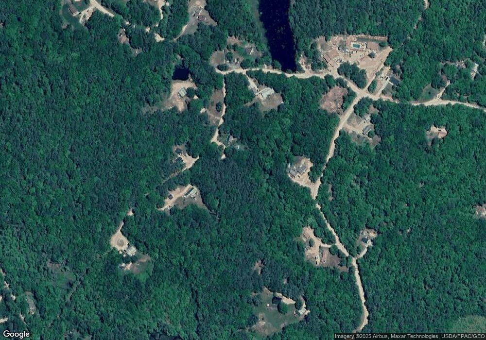
Map
Nearby Homes
- 38 Chapelle Rd
- L68-2 Vail Rd
- 77 Holmes Rd
- L68-1 Vail Rd
- 109 Vail Rd
- 77 Vail Rd
- 25 Vail Rd
- 277 Shackford Corner Rd
- 109 Shackford Corner Rd
- 572 S Barnstead Rd
- 11 Gray Rd
- 4 Sandy Point Rd
- 9 Nutter Cir
- 956 N Barnstead Rd
- O N Shore Dr
- 0 Corner North Shore Dr Unit 446 5054482
- 7 Brenton Ln
- 248 Varney Rd
- 8 Brookwood Dr
- M10 L26-3 Valley Dam Rd
- 56 Crest Ridge Dr
- 67 Beaver Ridge Rd
- 68 Crest Ridge Dr
- 142 Beaver Pond Dr
- 66 Beaver Ridge Rd
- 130 Beaver Pond Dr
- 130 Beaver Pond Dr
- 130 Beaver Pond Dr
- 50 Beaver Ridge Rd
- 41 Beaver Ridge Rd
- 155 Beaver Pond Dr
- 23 Crest Ridge Dr
- Lot 12-37 Beaver Pond Dr
- lot 6 Corner Beaver Ridge Rd
- 100 Beaver Pond Dr
- 86 Beaver Ridge Rd
- 117 Beaver Pond Dr
- Lot 12-38 Beaver Pond
- 00 Beaver Ridge Rd
- Map 12 Lot 11 Beaver Ridge Rd