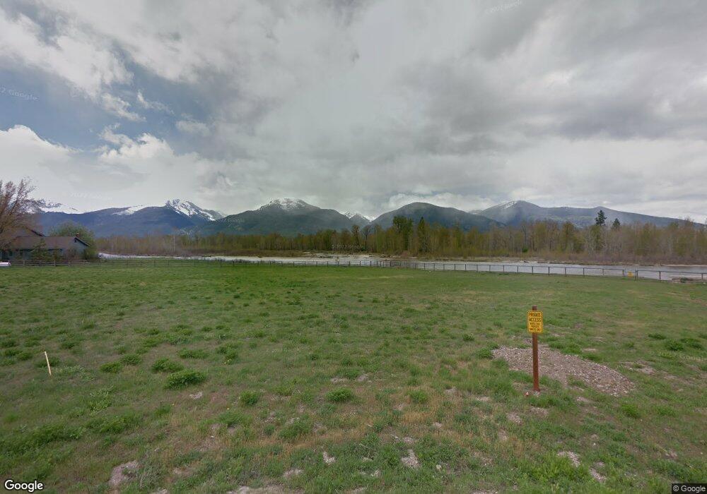
65 Edge Dr Stevensville, MT 59870
Estimated Value: $891,000 - $1,068,000
3
Beds
2
Baths
2,104
Sq Ft
$481/Sq Ft
Est. Value
About This Home
This home is located at 65 Edge Dr, Stevensville, MT 59870 and is currently estimated at $1,011,079, approximately $480 per square foot. 65 Edge Dr is a home located in Ravalli County with nearby schools including Stevensville Elementary School, Stevensville Junior High School, and Stevensville High School.
Ownership History
Date
Name
Owned For
Owner Type
Purchase Details
Closed on
Jun 27, 2024
Sold by
Dayton Daniel Earl
Bought by
Dayton Daniel Earl and Hernandez Lucila
Current Estimated Value
Purchase Details
Closed on
May 18, 2022
Sold by
Nicolene Lundborg
Bought by
Dayton Daniel Eral
Home Financials for this Owner
Home Financials are based on the most recent Mortgage that was taken out on this home.
Original Mortgage
$337,100
Interest Rate
5.3%
Mortgage Type
New Conventional
Purchase Details
Closed on
Dec 15, 2020
Sold by
Lundborg Nicolene and Griffith Gordon
Bought by
Lundborg Nicolene and Griffith Gordon
Purchase Details
Closed on
Sep 28, 2015
Sold by
Bruce Mindich
Bought by
Lundborg Nicolene and Gordon Griffith
Home Financials for this Owner
Home Financials are based on the most recent Mortgage that was taken out on this home.
Original Mortgage
$145,529
Interest Rate
3.9%
Mortgage Type
New Conventional
Create a Home Valuation Report for This Property
The Home Valuation Report is an in-depth analysis detailing your home's value as well as a comparison with similar homes in the area
Home Values in the Area
Average Home Value in this Area
Purchase History
| Date | Buyer | Sale Price | Title Company |
|---|---|---|---|
| Dayton Daniel Earl | -- | None Listed On Document | |
| Dayton Daniel Eral | -- | New Title Company Name | |
| Lundborg Nicolene | -- | New Title Company Name | |
| Lundborg Nicolene | $181,911 | First American Title |
Source: Public Records
Mortgage History
| Date | Status | Borrower | Loan Amount |
|---|---|---|---|
| Previous Owner | Dayton Daniel Eral | $337,100 | |
| Previous Owner | Lundborg Nicolene | $145,529 |
Source: Public Records
Tax History Compared to Growth
Tax History
| Year | Tax Paid | Tax Assessment Tax Assessment Total Assessment is a certain percentage of the fair market value that is determined by local assessors to be the total taxable value of land and additions on the property. | Land | Improvement |
|---|---|---|---|---|
| 2025 | $4,200 | $1,011,300 | $0 | $0 |
| 2024 | $4,232 | $735,450 | $0 | $0 |
| 2023 | $5,275 | $735,450 | $0 | $0 |
| 2022 | $3,437 | $478,300 | $0 | $0 |
| 2021 | $3,735 | $478,300 | $0 | $0 |
| 2020 | $3,403 | $418,100 | $0 | $0 |
| 2019 | $3,372 | $418,100 | $0 | $0 |
| 2018 | $2,918 | $375,290 | $0 | $0 |
| 2017 | $2,881 | $375,290 | $0 | $0 |
| 2016 | $933 | $121,700 | $0 | $0 |
| 2015 | $936 | $121,700 | $0 | $0 |
| 2014 | $1,177 | $91,849 | $0 | $0 |
Source: Public Records
Map
Nearby Homes
- 4786 Hereford Ln
- 5031 Cameron Rose Ln
- 5289 Gabriels Way
- 205 Barnwood Way
- 201 Barnwood Way
- 226 Sky Pilot Ln
- 5583 Eastside Hwy
- 1216 Rugged Ridge Rd
- 4784 Cameron Rose Ln
- 4728 Northview Dr
- Nhn El Capitan Loop
- 516 El Capitan Loop
- 481 Dry Gulch Rd
- nhn 3 Mile Creek Rd
- 461 Sunrider Ln
- 5014 Eastside Hwy
- 4927 Hoblitt Ln S
- 301 Gold Ct
- 571 Ridge Rd
- 604 Ridge Rd