65 Elfreths Ct Newtown, PA 18940
Estimated Value: $1,107,108 - $1,361,000
3
Beds
2
Baths
3,391
Sq Ft
$356/Sq Ft
Est. Value
About This Home
This home is located at 65 Elfreths Ct, Newtown, PA 18940 and is currently estimated at $1,207,527, approximately $356 per square foot. 65 Elfreths Ct is a home with nearby schools including Newtown Elementary School, Newtown Middle School, and Council Rock High School North.
Ownership History
Date
Name
Owned For
Owner Type
Purchase Details
Closed on
Apr 8, 2025
Sold by
Danch Robert S and Danch Andrea J
Bought by
Robert S Danch Revocable Trust and Andrea J Danch Revocable Trust
Current Estimated Value
Purchase Details
Closed on
Mar 10, 2016
Sold by
Toll Pa Xiii Lp
Bought by
Danch Robert S and Danch Andrea J
Create a Home Valuation Report for This Property
The Home Valuation Report is an in-depth analysis detailing your home's value as well as a comparison with similar homes in the area
Home Values in the Area
Average Home Value in this Area
Purchase History
| Date | Buyer | Sale Price | Title Company |
|---|---|---|---|
| Robert S Danch Revocable Trust | -- | None Listed On Document | |
| Danch Robert S | $867,035 | None Available |
Source: Public Records
Tax History Compared to Growth
Tax History
| Year | Tax Paid | Tax Assessment Tax Assessment Total Assessment is a certain percentage of the fair market value that is determined by local assessors to be the total taxable value of land and additions on the property. | Land | Improvement |
|---|---|---|---|---|
| 2025 | $12,986 | $73,070 | $4,000 | $69,070 |
| 2024 | $12,986 | $73,070 | $4,000 | $69,070 |
| 2023 | $12,424 | $73,070 | $4,000 | $69,070 |
| 2022 | $12,184 | $73,070 | $4,000 | $69,070 |
| 2021 | $11,995 | $73,070 | $4,000 | $69,070 |
| 2020 | $11,417 | $73,070 | $4,000 | $69,070 |
| 2019 | $11,147 | $73,070 | $4,000 | $69,070 |
| 2018 | $10,936 | $73,070 | $4,000 | $69,070 |
| 2017 | $10,556 | $73,070 | $4,000 | $69,070 |
| 2016 | $8,605 | $0 | $0 | $0 |
| 2015 | -- | $0 | $0 | $0 |
| 2014 | -- | $0 | $0 | $0 |
Source: Public Records
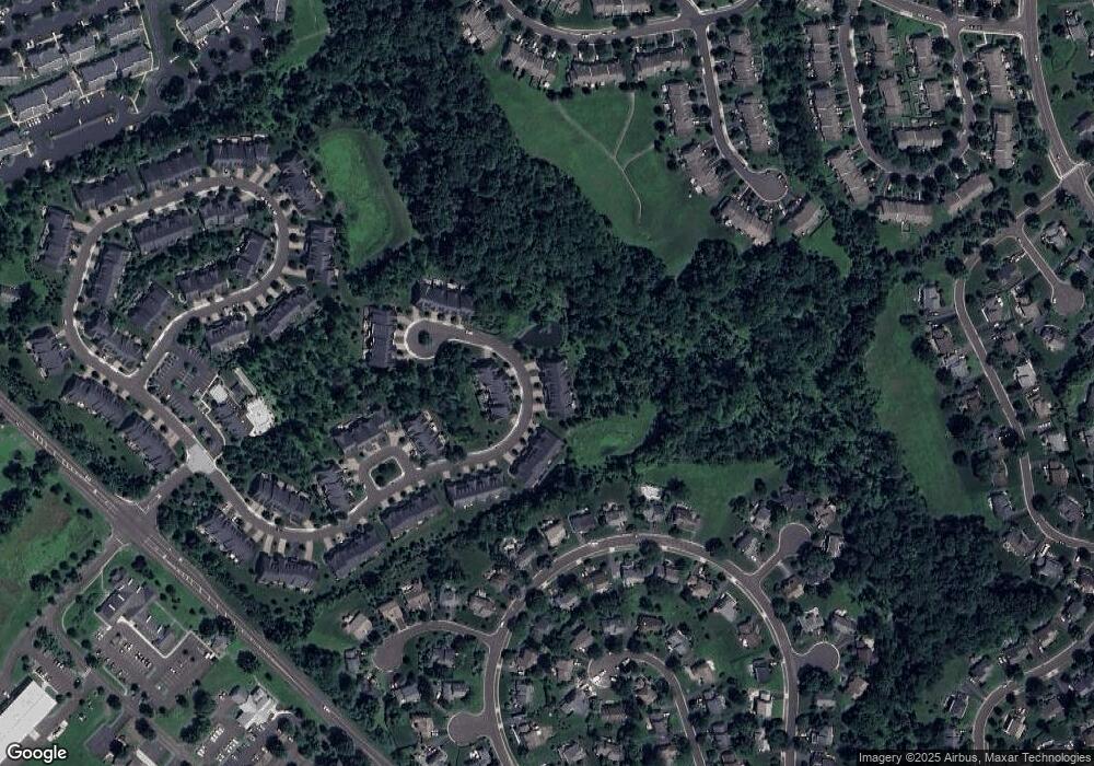
Map
Nearby Homes
- 35 Elfreths Ct
- 95 Rittenhouse Cir Unit 92
- 13 Sparrow Walk
- 102 Broadleaf Place
- 2212 Society Place Unit D2
- 83 Cypress Place
- 702 Society Place Unit A2
- 401 Society Place Unit A1
- 8 Periwinkle Place
- Raintree Plan at Lyondale Meadows
- Kingswood Plan at Lyondale Meadows
- Cloverfield Plan at Lyondale Meadows
- Laney Plan at Lyondale Meadows
- Mayweather Plan at Lyondale Meadows
- Rollins Plan at Lyondale Meadows
- 0 Augusta Dr Unit KINGSWOOD
- 0 Augusta Dr Unit MAYWEATHER
- 0 Augusta Dr Unit RAINTREE
- 0 Augusta Dr Unit CLOVERFIELD
- 0 Augusta Dr Unit ROLLINS
- 63 Elfreths Ct
- 67 Elfreths Ct
- 61 Elfreths Ct
- 64 Elfreths Ct Unit 39
- 66 Elfreths Ct Unit 38
- 57 Elfreths Ct
- 62 Elfreths Ct Unit 40
- 55 Elfreths Ct
- 68 Elfreths Ct Unit 37
- 53 Elfreths Ct
- 47 Elfreths Ct
- 71 Elfreths Ct
- 35 Columbine Cir
- 45 Elfreths Ct
- 45 Elfreths Ct Unit LOT19
- 73 Elfreths Ct
- 39 Columbine Cir
- 24 Franklin Cir Unit 41
- 22 Franklin Cir Unit 42
- 43 Elfreths Ct Unit 18