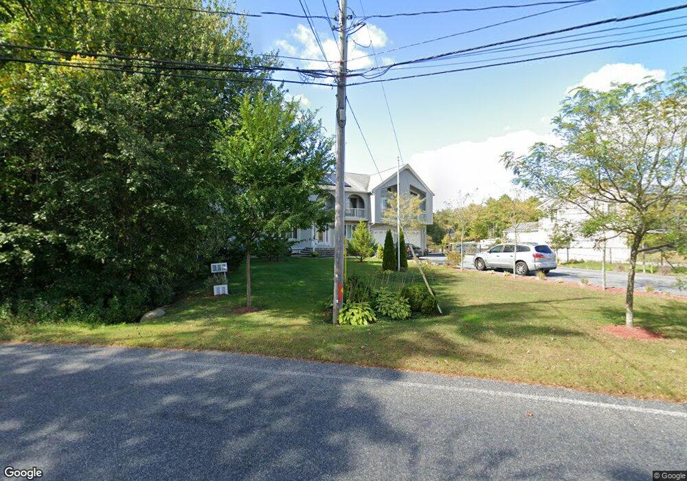
65 Forge Rd Westport, MA 02790
North Westport NeighborhoodEstimated Value: $734,000 - $1,116,000
4
Beds
--
Bath
4,000
Sq Ft
$227/Sq Ft
Est. Value
About This Home
This home is located at 65 Forge Rd, Westport, MA 02790 and is currently estimated at $907,686, approximately $226 per square foot. 65 Forge Rd is a home located in Bristol County with nearby schools including Alice A. Macomber Primary School, Westport Elementary School, and Westport Middle-High School.
Create a Home Valuation Report for This Property
The Home Valuation Report is an in-depth analysis detailing your home's value as well as a comparison with similar homes in the area
Home Values in the Area
Average Home Value in this Area
Tax History Compared to Growth
Tax History
| Year | Tax Paid | Tax Assessment Tax Assessment Total Assessment is a certain percentage of the fair market value that is determined by local assessors to be the total taxable value of land and additions on the property. | Land | Improvement |
|---|---|---|---|---|
| 2025 | $5,894 | $791,200 | $163,900 | $627,300 |
| 2024 | $5,913 | $765,000 | $151,900 | $613,100 |
| 2023 | $5,793 | $709,900 | $137,800 | $572,100 |
| 2022 | $5,615 | $662,200 | $130,900 | $531,300 |
| 2021 | $5,598 | $649,400 | $119,000 | $530,400 |
| 2020 | $5,383 | $638,600 | $108,200 | $530,400 |
| 2019 | $5,035 | $608,800 | $108,200 | $500,600 |
| 2018 | $4,382 | $536,400 | $117,800 | $418,600 |
| 2017 | $4,257 | $534,100 | $114,000 | $420,100 |
| 2016 | $3,825 | $483,600 | $110,300 | $373,300 |
| 2015 | $3,770 | $475,400 | $112,800 | $362,600 |
Source: Public Records
Map
Nearby Homes
- 96 Forge Rd
- 29 Union Ave
- 3 Roller Coaster Way Unit Lot 1
- 27 Dias Ave
- 16 S Berryman St
- 15 S Breault St
- 461 Reed Rd
- 735 Reed Rd
- 56 Lakeside Ave
- 55 Lakeside Ave
- 818 Reed Rd
- 565 Highland Ave
- 9 Kyle Jacob Rd
- 0 Van Buren St
- 116 Gifford Rd
- 4 Main Rd
- 20 Faulkner St
- 23 Donna St
- 47 Fallon Dr
- 19 Charles Joseph Dr