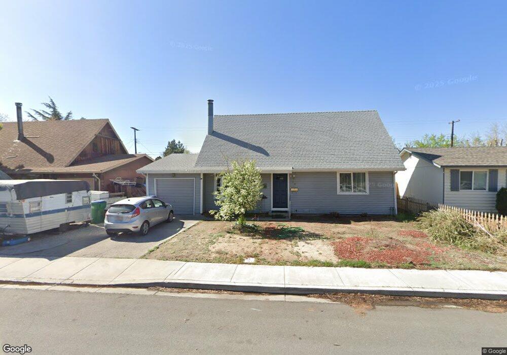
65 Gault Way Sparks, NV 89431
McCarran Boulevard-Probasco NeighborhoodEstimated Value: $418,214 - $444,000
4
Beds
2
Baths
1,400
Sq Ft
$308/Sq Ft
Est. Value
About This Home
This home is located at 65 Gault Way, Sparks, NV 89431 and is currently estimated at $431,054, approximately $307 per square foot. 65 Gault Way is a home located in Washoe County with nearby schools including Florence Drake Elementary School, George L Dilworth Middle School, and Sparks High School.
Ownership History
Date
Name
Owned For
Owner Type
Purchase Details
Closed on
Mar 27, 2025
Sold by
Abend Richard D and Abend Colleen Y
Bought by
Abend Family Trust and Abend
Current Estimated Value
Purchase Details
Closed on
Oct 27, 2021
Sold by
Abend Richard D and Abend Colleen Y
Bought by
Abend Richard D and Abend Colleen Y
Home Financials for this Owner
Home Financials are based on the most recent Mortgage that was taken out on this home.
Original Mortgage
$223,341
Interest Rate
2.8%
Mortgage Type
New Conventional
Purchase Details
Closed on
Aug 15, 1995
Sold by
Lundy Ron
Bought by
Abend Richard D and Abend Coleen Y
Home Financials for this Owner
Home Financials are based on the most recent Mortgage that was taken out on this home.
Original Mortgage
$116,207
Interest Rate
7.71%
Mortgage Type
FHA
Purchase Details
Closed on
May 10, 1995
Sold by
Mann Regina
Bought by
Lundy Ron
Create a Home Valuation Report for This Property
The Home Valuation Report is an in-depth analysis detailing your home's value as well as a comparison with similar homes in the area
Home Values in the Area
Average Home Value in this Area
Purchase History
| Date | Buyer | Sale Price | Title Company |
|---|---|---|---|
| Abend Family Trust | -- | None Listed On Document | |
| Abend Richard D | -- | Acme Title & Escrow Services | |
| Abend Richard D | $118,000 | Stewart Title | |
| Lundy Ron | -- | Stewart Title |
Source: Public Records
Mortgage History
| Date | Status | Borrower | Loan Amount |
|---|---|---|---|
| Previous Owner | Abend Richard D | $223,341 | |
| Previous Owner | Abend Richard D | $116,207 |
Source: Public Records
Tax History Compared to Growth
Tax History
| Year | Tax Paid | Tax Assessment Tax Assessment Total Assessment is a certain percentage of the fair market value that is determined by local assessors to be the total taxable value of land and additions on the property. | Land | Improvement |
|---|---|---|---|---|
| 2025 | $948 | $52,180 | $33,565 | $18,615 |
| 2024 | $948 | $48,402 | $30,065 | $18,337 |
| 2023 | $921 | $48,285 | $31,325 | $16,960 |
| 2022 | $895 | $40,026 | $26,180 | $13,846 |
| 2021 | $870 | $31,434 | $17,955 | $13,479 |
| 2020 | $844 | $30,168 | $16,940 | $13,228 |
| 2019 | $820 | $29,143 | $15,890 | $13,253 |
| 2018 | $795 | $25,155 | $11,725 | $13,430 |
| 2017 | $772 | $24,289 | $10,395 | $13,894 |
| 2016 | $754 | $23,977 | $9,345 | $14,632 |
| 2015 | $754 | $22,876 | $7,700 | $15,176 |
| 2014 | $732 | $21,414 | $6,440 | $14,974 |
| 2013 | -- | $19,458 | $4,270 | $15,188 |
Source: Public Records
Map
Nearby Homes
- 119 Devere Way
- 10 Sheridan Way
- 120 E Lenwood Dr
- 465 Lenwood Dr
- 3245 Elaine Way
- 2865 Patrice Dr
- 3071 Meadowlands Dr
- 780 Emerson Way
- 3465 Dawn Cir
- 1940 4th St Unit 20
- 1940 4th St Unit 51
- 3104 Sandy St
- 1945 4th St Unit 32
- 1945 4th St Unit 33
- 1945 4th St Unit 10
- 1703 1st St
- 3545 4th St
- 8 E O St
- 3595 Rocky Ridge Ct
- 3607 Keogh Dr