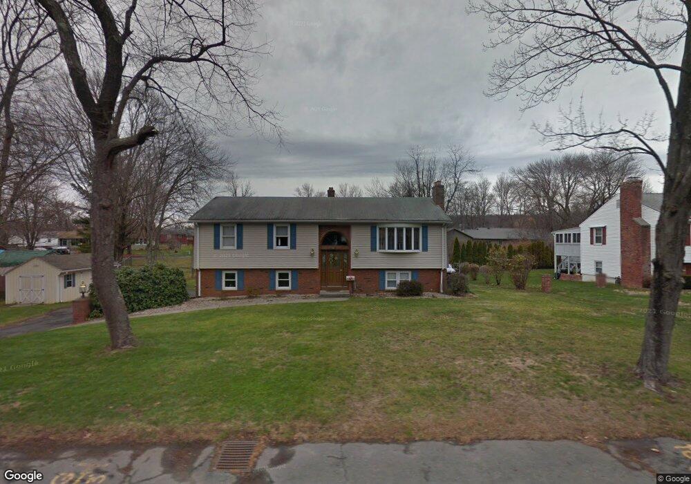
65 Kelly Dr West Springfield, MA 01089
Estimated Value: $398,647 - $450,000
3
Beds
1
Bath
1,555
Sq Ft
$266/Sq Ft
Est. Value
About This Home
This home is located at 65 Kelly Dr, West Springfield, MA 01089 and is currently estimated at $414,162, approximately $266 per square foot. 65 Kelly Dr is a home located in Hampden County with nearby schools including West Springfield High School and St Thomas The Apostle School.
Ownership History
Date
Name
Owned For
Owner Type
Purchase Details
Closed on
May 23, 2008
Sold by
Hayhurst Constance M and Hayhurst Paul E
Bought by
Hayhurst Constance M
Current Estimated Value
Create a Home Valuation Report for This Property
The Home Valuation Report is an in-depth analysis detailing your home's value as well as a comparison with similar homes in the area
Home Values in the Area
Average Home Value in this Area
Purchase History
| Date | Buyer | Sale Price | Title Company |
|---|---|---|---|
| Hayhurst Constance M | -- | -- |
Source: Public Records
Tax History Compared to Growth
Tax History
| Year | Tax Paid | Tax Assessment Tax Assessment Total Assessment is a certain percentage of the fair market value that is determined by local assessors to be the total taxable value of land and additions on the property. | Land | Improvement |
|---|---|---|---|---|
| 2025 | $5,307 | $356,900 | $126,800 | $230,100 |
| 2024 | $5,261 | $355,200 | $126,800 | $228,400 |
| 2023 | $4,811 | $309,600 | $126,800 | $182,800 |
| 2022 | $4,433 | $281,300 | $115,100 | $166,200 |
| 2021 | $4,404 | $260,600 | $107,300 | $153,300 |
| 2020 | $4,358 | $256,500 | $107,300 | $149,200 |
| 2019 | $4,350 | $256,500 | $107,300 | $149,200 |
| 2018 | $4,373 | $256,500 | $107,300 | $149,200 |
| 2017 | $4,373 | $256,500 | $107,300 | $149,200 |
| 2016 | $4,278 | $251,800 | $103,200 | $148,600 |
| 2015 | $4,197 | $247,000 | $101,100 | $145,900 |
| 2014 | $1,019 | $247,000 | $101,100 | $145,900 |
Source: Public Records
Map
Nearby Homes
- 86 Birnie Ave
- 75 Birnie Ave
- 9 Annie's Way
- 11 Annie's Way
- 12 Victorian Dr
- 26 Clayton Dr
- 59 Beech Hill Rd
- 59 Clayton Dr
- Lot 3 Hyde Rd
- 89 Vincent Dr
- 114 Connecticut Ave
- 39 Bonnie Brae Dr
- 40 Wilfred St
- 80 Brush Hill Ave Unit 35
- 80 Brush Hill Ave Unit 28
- 80 Brush Hill Ave Unit 32
- 64 Apple Ridge Rd
- 34 High Meadow Dr
- 43 Wishing Well Way
- 36 Shady Brook