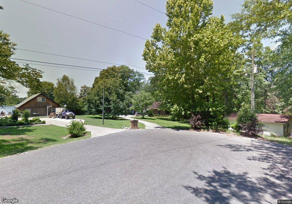
65 Lakeshore Dr Laurel, MS 39443
Estimated Value: $346,000 - $497,000
4
Beds
3
Baths
2,540
Sq Ft
$169/Sq Ft
Est. Value
About This Home
This home is located at 65 Lakeshore Dr, Laurel, MS 39443 and is currently estimated at $428,151, approximately $168 per square foot. 65 Lakeshore Dr is a home located in Jones County.
Ownership History
Date
Name
Owned For
Owner Type
Purchase Details
Closed on
Sep 8, 2017
Bought by
Essary Mark S
Current Estimated Value
Purchase Details
Closed on
Jun 25, 2008
Sold by
Reinhardt John F and Reinhardt Barbara J
Bought by
Greulich Allen H and Greulich Elisie
Home Financials for this Owner
Home Financials are based on the most recent Mortgage that was taken out on this home.
Original Mortgage
$38,000
Interest Rate
6.27%
Purchase Details
Closed on
Sep 12, 2007
Sold by
Wildman Samuel L and Wildman Gail R
Bought by
Reinhardt John F and Reinhardt Barbara J
Home Financials for this Owner
Home Financials are based on the most recent Mortgage that was taken out on this home.
Original Mortgage
$158,500
Interest Rate
6.65%
Create a Home Valuation Report for This Property
The Home Valuation Report is an in-depth analysis detailing your home's value as well as a comparison with similar homes in the area
Home Values in the Area
Average Home Value in this Area
Purchase History
| Date | Buyer | Sale Price | Title Company |
|---|---|---|---|
| Essary Mark S | $265,870 | -- | |
| Greulich Allen H | -- | -- | |
| Reinhardt John F | -- | -- |
Source: Public Records
Mortgage History
| Date | Status | Borrower | Loan Amount |
|---|---|---|---|
| Previous Owner | Greulich Allen H | $38,000 | |
| Previous Owner | Greulich Allen H | $170,000 | |
| Previous Owner | Reinhardt John F | $158,500 |
Source: Public Records
Tax History Compared to Growth
Tax History
| Year | Tax Paid | Tax Assessment Tax Assessment Total Assessment is a certain percentage of the fair market value that is determined by local assessors to be the total taxable value of land and additions on the property. | Land | Improvement |
|---|---|---|---|---|
| 2025 | $4,949 | $40,556 | $0 | $0 |
| 2024 | $4,949 | $39,103 | $0 | $0 |
| 2023 | $4,949 | $39,103 | $0 | $0 |
| 2022 | $5,060 | $39,103 | $0 | $0 |
| 2021 | $5,081 | $39,103 | $0 | $0 |
| 2020 | $5,311 | $40,163 | $0 | $0 |
| 2019 | $5,331 | $40,163 | $0 | $0 |
| 2018 | $5,331 | $40,163 | $0 | $0 |
| 2017 | $5,325 | $40,163 | $0 | $0 |
| 2016 | $4,962 | $38,294 | $0 | $0 |
| 2015 | $4,740 | $38,294 | $0 | $0 |
| 2014 | $4,740 | $38,294 | $0 | $0 |
Source: Public Records
Map
Nearby Homes
- 61 Lakeshore Dr
- 57 Lakeshore Dr
- 53 Lakeshore Dr
- 49 Lakeshore Dr
- 54 Lake Heritage Rd
- 56 Lakeshore Dr
- 50 Lake Heritage Rd
- 53 Lake Heritage Rd
- 46 Lake Heritage Rd
- 45 Lakeshore Dr
- 17 Lakeshore Dr
- 9 Lakeshore Dr
- 58 Lake Heritage Rd
- 21 Lakeshore Dr
- 25 Lakeshore Dr
- 29 Lakeshore Dr
- 5 Lakeshore Dr
- 40 Lake Heritage Rd
- 41 Lakeshore Dr
- 49 Lake Heritage Rd