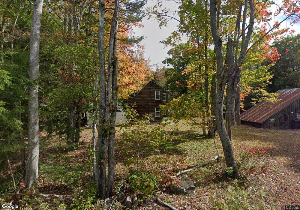
65 Lincoln Rd Saco, ME 04072
North Saco NeighborhoodEstimated Value: $429,000 - $511,000
3
Beds
2
Baths
1,568
Sq Ft
$308/Sq Ft
Est. Value
About This Home
This home is located at 65 Lincoln Rd, Saco, ME 04072 and is currently estimated at $483,351, approximately $308 per square foot. 65 Lincoln Rd is a home located in York County with nearby schools including C K Burns School and Saco Middle School.
Ownership History
Date
Name
Owned For
Owner Type
Purchase Details
Closed on
Jun 26, 2007
Sold by
Oconnor Carrie L and Oconnor Edward E
Bought by
Johnson Sarah and Johnson Joseph
Current Estimated Value
Home Financials for this Owner
Home Financials are based on the most recent Mortgage that was taken out on this home.
Original Mortgage
$210,900
Outstanding Balance
$150,897
Interest Rate
9.5%
Mortgage Type
Adjustable Rate Mortgage/ARM
Estimated Equity
$332,454
Create a Home Valuation Report for This Property
The Home Valuation Report is an in-depth analysis detailing your home's value as well as a comparison with similar homes in the area
Home Values in the Area
Average Home Value in this Area
Purchase History
| Date | Buyer | Sale Price | Title Company |
|---|---|---|---|
| Johnson Sarah | -- | -- |
Source: Public Records
Mortgage History
| Date | Status | Borrower | Loan Amount |
|---|---|---|---|
| Open | Johnson Sarah | $210,900 |
Source: Public Records
Tax History
| Year | Tax Paid | Tax Assessment Tax Assessment Total Assessment is a certain percentage of the fair market value that is determined by local assessors to be the total taxable value of land and additions on the property. | Land | Improvement |
|---|---|---|---|---|
| 2024 | $4,913 | $349,700 | $118,500 | $231,200 |
| 2023 | $5,158 | $349,700 | $118,500 | $231,200 |
| 2022 | $4,658 | $254,100 | $90,400 | $163,700 |
| 2021 | $4,452 | $235,800 | $78,900 | $156,900 |
| 2020 | $4,178 | $212,400 | $69,000 | $143,400 |
| 2019 | $4,116 | $212,400 | $69,000 | $143,400 |
| 2018 | $3,990 | $205,900 | $62,500 | $143,400 |
| 2017 | $3,415 | $176,200 | $57,200 | $119,000 |
| 2016 | $3,331 | $171,500 | $45,300 | $126,200 |
| 2015 | $3,240 | $168,600 | $44,000 | $124,600 |
| 2014 | $3,139 | $168,600 | $44,000 | $124,600 |
| 2013 | $3,133 | $168,600 | $44,000 | $124,600 |
Source: Public Records
Map
Nearby Homes
- 4 Lebanon Rd
- 20 Fenderson Rd
- Lot 1 & 2 Memory Ln
- 1 Shamrock Dr
- 75 Ash Swamp Rd
- 5 Moose Creek Ln
- 130 Heath Rd
- 91 C Broadturn Rd
- 181 Watson Mill Rd
- 8 Peaceful Ln
- 90 Broadturn Rd Unit 9
- 90 Broadturn Rd Unit 1
- 91 B Broadturn Rd
- 159 Stewart Dr
- 155 Stewart Dr
- 153 Stewart Dr
- 149 Stewart Dr
- 6 Castle Terrace
- 29 Mccann Way Unit 29
- 4 Primrose Ln
Your Personal Tour Guide
Ask me questions while you tour the home.