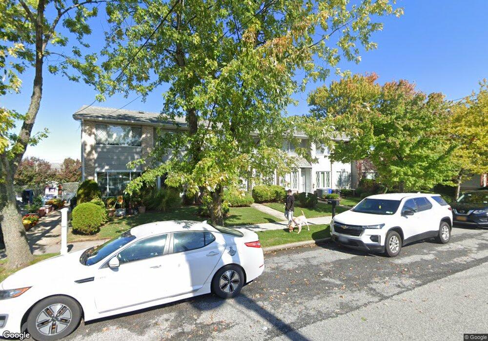
65 Macon Ave Staten Island, NY 10312
Eltingville NeighborhoodEstimated Value: $433,000 - $528,000
2
Beds
2
Baths
1,380
Sq Ft
$349/Sq Ft
Est. Value
About This Home
This home is located at 65 Macon Ave, Staten Island, NY 10312 and is currently estimated at $482,163, approximately $349 per square foot. 65 Macon Ave is a home located in Richmond County with nearby schools including P.S. 42 The Eltingville School, I.S. 007 Elias Bernstein, and Tottenville High School.
Ownership History
Date
Name
Owned For
Owner Type
Purchase Details
Closed on
Sep 29, 1998
Sold by
Santaromita Stella
Bought by
Fisher Janet and Desiena Joni A
Current Estimated Value
Purchase Details
Closed on
Apr 10, 1995
Sold by
Pisapia Anthony
Bought by
Santaromita Stella A
Home Financials for this Owner
Home Financials are based on the most recent Mortgage that was taken out on this home.
Original Mortgage
$90,250
Interest Rate
8.31%
Create a Home Valuation Report for This Property
The Home Valuation Report is an in-depth analysis detailing your home's value as well as a comparison with similar homes in the area
Home Values in the Area
Average Home Value in this Area
Purchase History
| Date | Buyer | Sale Price | Title Company |
|---|---|---|---|
| Fisher Janet | $110,000 | -- | |
| Santaromita Stella A | $95,000 | First American Title Ins Co |
Source: Public Records
Mortgage History
| Date | Status | Borrower | Loan Amount |
|---|---|---|---|
| Previous Owner | Santaromita Stella A | $90,250 |
Source: Public Records
Tax History Compared to Growth
Tax History
| Year | Tax Paid | Tax Assessment Tax Assessment Total Assessment is a certain percentage of the fair market value that is determined by local assessors to be the total taxable value of land and additions on the property. | Land | Improvement |
|---|---|---|---|---|
| 2025 | $4,477 | $27,840 | $2,954 | $24,886 |
| 2024 | $4,477 | $29,700 | $2,612 | $27,088 |
| 2023 | $4,527 | $22,291 | $2,596 | $19,695 |
| 2022 | $4,413 | $26,460 | $3,480 | $22,980 |
| 2021 | $4,392 | $22,440 | $3,480 | $18,960 |
| 2020 | $4,168 | $21,120 | $3,480 | $17,640 |
| 2019 | $3,886 | $20,340 | $3,480 | $16,860 |
| 2018 | $3,787 | $18,576 | $3,315 | $15,261 |
| 2017 | $3,755 | $18,420 | $3,480 | $14,940 |
| 2016 | $3,477 | $17,392 | $3,478 | $13,914 |
| 2015 | $2,971 | $16,408 | $2,773 | $13,635 |
| 2014 | $2,971 | $15,480 | $2,880 | $12,600 |
Source: Public Records
Map
Nearby Homes
- 682 Barlow Ave
- 731 Barlow Ave
- 621 Barlow Ave
- 77 Wainwright Ave
- 775 Barlow Ave
- 71 Reading Ave
- 622 Barlow Ave
- 774 Barlow Ave
- 50 Reading Ave
- 350 Bartlett Ave
- 3395 Richmond Ave Unit 16
- 688 Leverett Ave Unit 8520
- 43 Watkins Ave
- 543 Eltingville Blvd
- 14 Alexsandra Ct
- 226 Annadale Rd
- 216 Annadale Rd
- 3452 Richmond Ave
- 634 Leverett Ave
- 437 Eltingville Blvd
- 67-69 Macon Ave
- 67 Macon Ave Unit 69
- 63 Macon Ave
- 16 Brandis Ln
- 18 Brandis Ln
- 14 Brandis Ln
- 150 Wainwright Ave
- 148 Wainwright Ave
- 75 Macon Ave
- 22 Brandis Ln
- 64 Macon Ave
- 64 Macon Ave Unit A
- 66 Macon Ave
- 66 Macon Ave Unit A
- 62 Macon Ave
- 62 Macon Ave Unit A
- 164 Wainwright Ave
- 77 Macon Ave
- 17 Brandis Ln
- 24 Brandis Ln