65 Mulhall Farm Rd Antrim, NH 03440
Estimated Value: $483,000 - $528,000
3
Beds
3
Baths
1,456
Sq Ft
$350/Sq Ft
Est. Value
About This Home
This home is located at 65 Mulhall Farm Rd, Antrim, NH 03440 and is currently estimated at $509,859, approximately $350 per square foot. 65 Mulhall Farm Rd is a home with nearby schools including Antrim Elementary School, Great Brook School, and Conval Regional High School.
Ownership History
Date
Name
Owned For
Owner Type
Purchase Details
Closed on
Jun 4, 2018
Sold by
Fireball Realty Llc
Bought by
Vaillancout Peter and Vaillancourt Bonnie L
Current Estimated Value
Home Financials for this Owner
Home Financials are based on the most recent Mortgage that was taken out on this home.
Original Mortgage
$159,900
Outstanding Balance
$137,974
Interest Rate
4.4%
Mortgage Type
New Conventional
Estimated Equity
$371,885
Purchase Details
Closed on
Mar 31, 2014
Sold by
High Bank Props Llc
Bought by
Horne Peter W
Create a Home Valuation Report for This Property
The Home Valuation Report is an in-depth analysis detailing your home's value as well as a comparison with similar homes in the area
Home Values in the Area
Average Home Value in this Area
Purchase History
| Date | Buyer | Sale Price | Title Company |
|---|---|---|---|
| Vaillancout Peter | $259,933 | -- | |
| Horne Peter W | $807,800 | -- |
Source: Public Records
Mortgage History
| Date | Status | Borrower | Loan Amount |
|---|---|---|---|
| Open | Vaillancout Peter | $159,900 |
Source: Public Records
Tax History Compared to Growth
Tax History
| Year | Tax Paid | Tax Assessment Tax Assessment Total Assessment is a certain percentage of the fair market value that is determined by local assessors to be the total taxable value of land and additions on the property. | Land | Improvement |
|---|---|---|---|---|
| 2024 | $7,757 | $373,100 | $141,200 | $231,900 |
| 2023 | $6,992 | $373,100 | $141,200 | $231,900 |
| 2022 | $6,608 | $237,200 | $48,600 | $188,600 |
| 2021 | $6,116 | $234,590 | $48,600 | $185,990 |
| 2020 | $6,698 | $234,590 | $48,600 | $185,990 |
| 2019 | $6,359 | $235,790 | $48,600 | $187,190 |
| 2018 | $6 | $100,000 | $48,600 | $51,400 |
| 2016 | $2 | $67 | $67 | $0 |
| 2015 | $2 | $66 | $66 | $0 |
| 2012 | $4 | $190 | $190 | $0 |
Source: Public Records
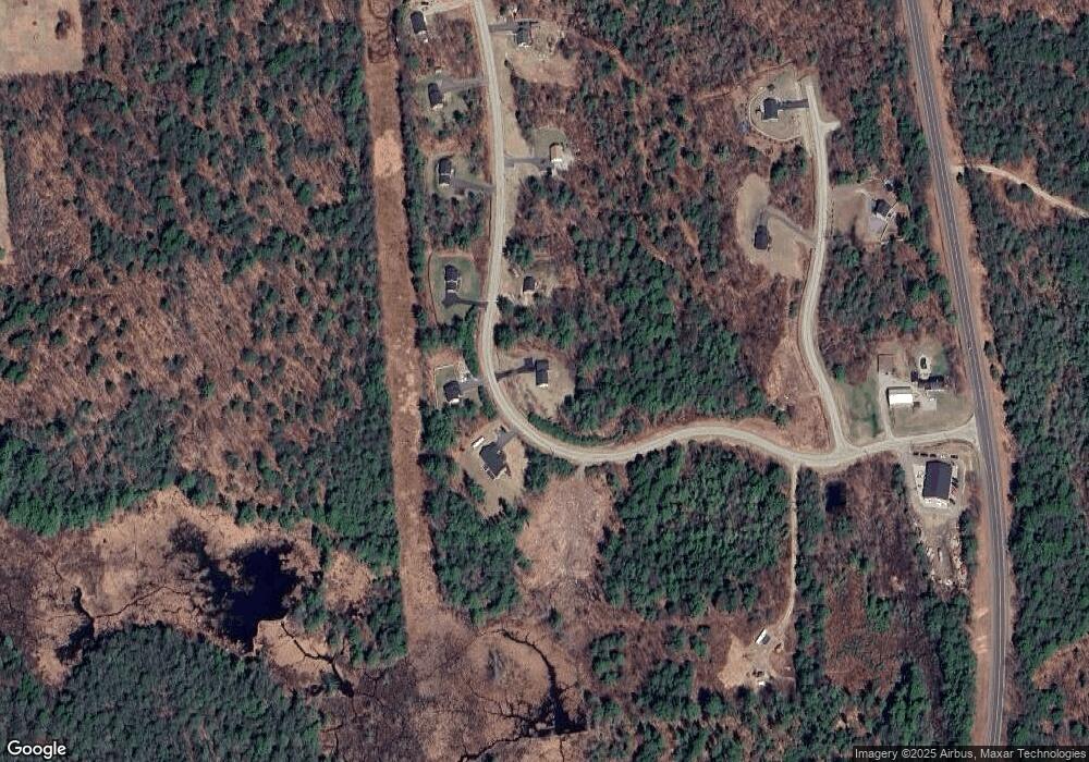
Map
Nearby Homes
- 50 Mulhall Farm Rd
- 0 Concord St Unit 25
- 0 Bridle Path Rd
- 2426 2nd Nh Turnpike
- 1 Pierce Lake Rd
- 00 Rochester Rd Unit 32
- 29 N Main St
- 45 Keyes Farm Rd
- 9 Wyman Rd
- 5 Chamberlain Ct Unit 56
- 0 Meetinghouse Hill Rd Unit 37
- 13 Elm St
- 475 Old County Rd
- 0 Route 202 Route Unit 4983445
- 16 Jameson Ave
- 86 Manselville Rd
- 88 W Mill St
- 6 McColley Rd
- 0 W Main St Unit 1
- 204 Keene Rd
- 00 Mulhall Farm Commercial Drive Rd
- 71 Mulhall Farm Rd
- Lot 18 Mulhall
- Lot 17 Mulhall
- 8 Commercial Dr
- 60 Mulhall Farm Rd
- 72 Mulhall Farm Rd
- 1 Mulhall Farm Rd
- 85 Mulhall Farm Rd
- 26 Commercial Dr
- TBD Mulhall Farm Rd
- 66 Mulhall Farm Rd
- 26 Mulhall Farm Rd
- 82 Mulhall Farm Rd
- Lot #6 Mulhall Rd
- 40 Commercial Dr
- 318 Concord St Unit 103
- 29 Commercial Dr Unit 24
- 29 Commercial Dr
- 24 Mulhall Farm Rd