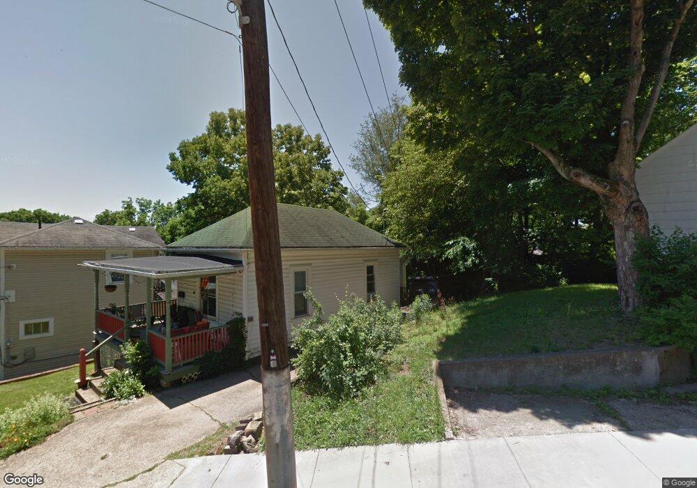
65 N Shafer St Athens, OH 45701
Estimated Value: $129,718 - $164,000
2
Beds
1
Bath
840
Sq Ft
$173/Sq Ft
Est. Value
About This Home
This home is located at 65 N Shafer St, Athens, OH 45701 and is currently estimated at $145,680, approximately $173 per square foot. 65 N Shafer St is a home located in Athens County with nearby schools including West Elementary School, Athens Middle School, and Athens High School.
Ownership History
Date
Name
Owned For
Owner Type
Purchase Details
Closed on
Sep 28, 2020
Sold by
Whitney Adrienne and Whitney Nicholas
Bought by
Knucklehead Management Llc
Current Estimated Value
Purchase Details
Closed on
Dec 21, 2018
Sold by
Thayer Wolf Constance T
Bought by
Whitney Adrienne
Purchase Details
Closed on
May 27, 2010
Sold by
Taylor Craig A and Taylor Michelle
Bought by
Thayer Wolf Constance T
Purchase Details
Closed on
Jun 14, 2008
Sold by
Richardson Estella M
Bought by
Taylor Craig A
Create a Home Valuation Report for This Property
The Home Valuation Report is an in-depth analysis detailing your home's value as well as a comparison with similar homes in the area
Home Values in the Area
Average Home Value in this Area
Purchase History
| Date | Buyer | Sale Price | Title Company |
|---|---|---|---|
| Knucklehead Management Llc | -- | None Available | |
| Whitney Adrienne | -- | None Available | |
| Thayer-Wolf Constance T | -- | None Available | |
| Thayer Wolf Constance T | $42,500 | Attorney | |
| Taylor Craig A | -- | Attorney |
Source: Public Records
Tax History Compared to Growth
Tax History
| Year | Tax Paid | Tax Assessment Tax Assessment Total Assessment is a certain percentage of the fair market value that is determined by local assessors to be the total taxable value of land and additions on the property. | Land | Improvement |
|---|---|---|---|---|
| 2024 | $1,659 | $30,090 | $5,110 | $24,980 |
| 2023 | $1,522 | $30,090 | $5,110 | $24,980 |
| 2022 | $1,303 | $24,630 | $5,110 | $19,520 |
| 2021 | $1,309 | $24,630 | $5,110 | $19,520 |
| 2020 | $1,308 | $24,630 | $5,110 | $19,520 |
| 2019 | $1,229 | $23,510 | $4,580 | $18,930 |
| 2018 | $1,213 | $23,510 | $4,580 | $18,930 |
| 2017 | $1,140 | $23,510 | $4,580 | $18,930 |
| 2016 | $1,052 | $21,080 | $4,360 | $16,720 |
| 2015 | $1,925 | $21,080 | $4,360 | $16,720 |
| 2014 | $1,925 | $21,080 | $4,360 | $16,720 |
| 2013 | $1,909 | $21,480 | $4,360 | $17,120 |
Source: Public Records
Map
Nearby Homes
- 56.15/15.5 Central & Clark
- 10 1st St
- 98 Central Ave
- 214 W State St
- 31 1st St
- 7 Elizabeth Dr
- 11 Walker St
- 15 S Shafer St Unit 1509
- 12 Walker St
- 0 Roberts St
- 193 N Lancaster St
- 17 Ring St
- 71 W Washington St
- 80 Court
- 64 Franklin Ave
- 550 W Union St
- 115 University Estates Blvd
- 88 University Estates Blvd
- 273 E State St
- 8181 Dairy Ln