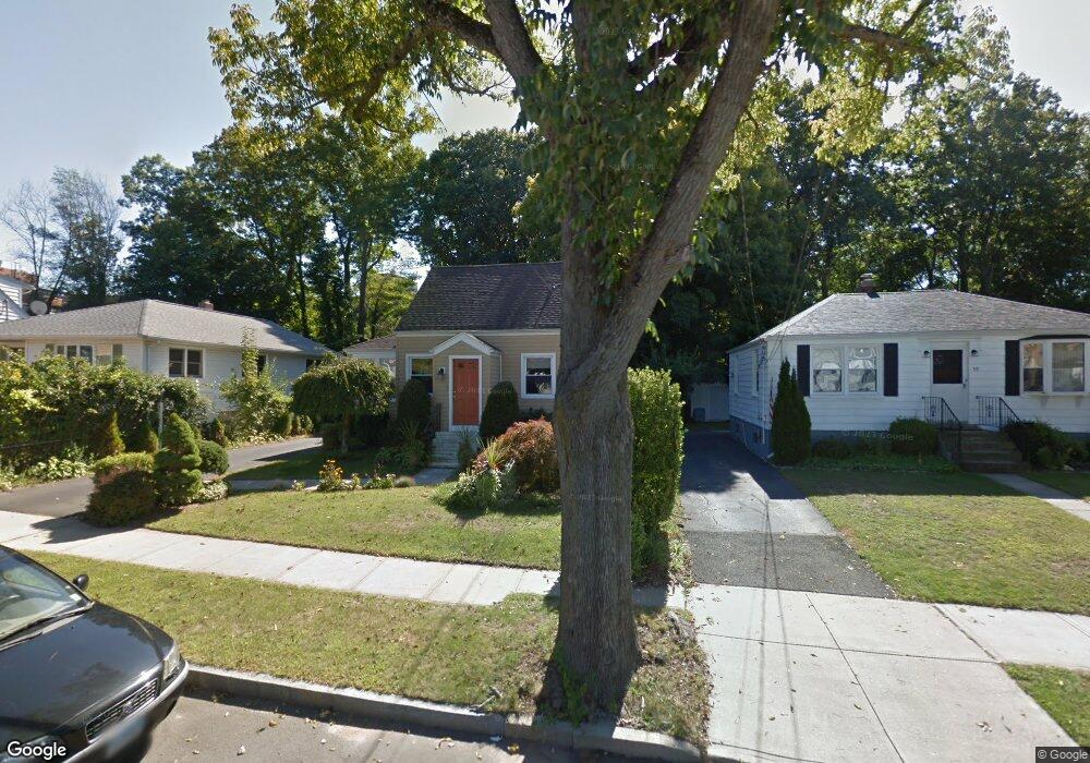
65 Pope St New Haven, CT 06512
East Shore NeighborhoodEstimated Value: $183,000 - $369,000
3
Beds
2
Baths
1,350
Sq Ft
$226/Sq Ft
Est. Value
About This Home
This home is located at 65 Pope St, New Haven, CT 06512 and is currently estimated at $304,791, approximately $225 per square foot. 65 Pope St is a home located in New Haven County with nearby schools including All Nations Christian Academy and Pathway School.
Ownership History
Date
Name
Owned For
Owner Type
Purchase Details
Closed on
Dec 10, 2010
Sold by
Diaz Daniel
Bought by
Greco David and Diaz Daniel
Current Estimated Value
Purchase Details
Closed on
May 18, 1994
Sold by
Dime Sb Ny
Bought by
Diaz Daniel H
Home Financials for this Owner
Home Financials are based on the most recent Mortgage that was taken out on this home.
Original Mortgage
$45,000
Interest Rate
8.44%
Mortgage Type
Unknown
Purchase Details
Closed on
Oct 10, 1989
Sold by
Northeast Capital
Bought by
Burke Timothy W
Create a Home Valuation Report for This Property
The Home Valuation Report is an in-depth analysis detailing your home's value as well as a comparison with similar homes in the area
Home Values in the Area
Average Home Value in this Area
Purchase History
| Date | Buyer | Sale Price | Title Company |
|---|---|---|---|
| Greco David | -- | -- | |
| Diaz Daniel H | $50,000 | -- | |
| Burke Timothy W | $155,000 | -- |
Source: Public Records
Mortgage History
| Date | Status | Borrower | Loan Amount |
|---|---|---|---|
| Previous Owner | Burke Timothy W | $45,000 |
Source: Public Records
Tax History Compared to Growth
Tax History
| Year | Tax Paid | Tax Assessment Tax Assessment Total Assessment is a certain percentage of the fair market value that is determined by local assessors to be the total taxable value of land and additions on the property. | Land | Improvement |
|---|---|---|---|---|
| 2025 | $6,735 | $170,940 | $64,190 | $106,750 |
| 2024 | $6,581 | $170,940 | $64,190 | $106,750 |
| 2023 | $6,359 | $170,940 | $64,190 | $106,750 |
| 2022 | $6,795 | $170,940 | $64,190 | $106,750 |
| 2021 | $5,538 | $126,210 | $41,720 | $84,490 |
| 2020 | $5,538 | $126,210 | $41,720 | $84,490 |
| 2019 | $5,425 | $126,210 | $41,720 | $84,490 |
| 2018 | $5,425 | $126,210 | $41,720 | $84,490 |
| 2017 | $4,882 | $126,210 | $41,720 | $84,490 |
| 2016 | $5,052 | $121,590 | $40,810 | $80,780 |
| 2015 | $5,052 | $121,590 | $40,810 | $80,780 |
| 2014 | $5,052 | $121,590 | $40,810 | $80,780 |
Source: Public Records
Map
Nearby Homes
- 52 Stuyvesant Ave
- 20 Ira St
- 1820 Dean St
- 140 Townsend Terrace
- 26 Nelson St
- 745 Townsend Ave Unit Lot 1
- 745 Townsend Ave Unit Lot 2
- 745 Townsend Ave Unit Lot 4
- 745 Townsend Ave Unit Lot 6
- 745 Townsend Ave Unit Lot 3
- 745 Townsend Ave Unit Lot 5
- 366 Burr St
- 34 Beecher Place
- 4 Laura Ln
- 30 Upson Terrace
- 444 Woodward Ave
- 77 Concord St
- 75 Townsend Ave
- 66 Elizabeth Ann Dr
- 60 Townsend Ave