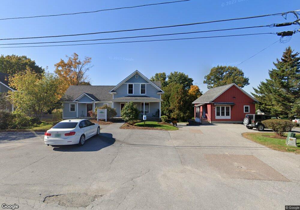
65 Railroad St Richmond, VT 05477
Estimated Value: $928,726
--
Bed
--
Bath
1,816
Sq Ft
$511/Sq Ft
Est. Value
About This Home
This home is located at 65 Railroad St, Richmond, VT 05477 and is currently estimated at $928,726, approximately $511 per square foot. 65 Railroad St is a home with nearby schools including Richmond Elementary School, Brewster Pierce School, and Camels Hump Middle School.
Ownership History
Date
Name
Owned For
Owner Type
Purchase Details
Closed on
Dec 28, 2010
Sold by
Willis Justin T and Willis Barbara A
Bought by
65 Railr0ad Llc
Current Estimated Value
Purchase Details
Closed on
Dec 22, 2010
Sold by
Willis Justin T and Willis Barbara A
Bought by
Railside Association
Purchase Details
Closed on
Apr 5, 2006
Sold by
Boutin Pauline M and Jillson Suzanne M
Bought by
Willis Justin T and Willis Barbara A
Purchase Details
Closed on
Dec 7, 2005
Sold by
Boutin Pauline M
Bought by
Boutin Pauline M and Jillson Suzanne M
Create a Home Valuation Report for This Property
The Home Valuation Report is an in-depth analysis detailing your home's value as well as a comparison with similar homes in the area
Home Values in the Area
Average Home Value in this Area
Purchase History
| Date | Buyer | Sale Price | Title Company |
|---|---|---|---|
| 65 Railr0ad Llc | $430,000 | -- | |
| Railside Association | -- | -- | |
| Willis Justin T | $175,000 | -- | |
| Boutin Pauline M | -- | -- | |
| Boutin Pauline M | -- | -- |
Source: Public Records
Tax History Compared to Growth
Tax History
| Year | Tax Paid | Tax Assessment Tax Assessment Total Assessment is a certain percentage of the fair market value that is determined by local assessors to be the total taxable value of land and additions on the property. | Land | Improvement |
|---|---|---|---|---|
| 2024 | $8,690 | $559,700 | $191,500 | $368,200 |
| 2023 | $8,690 | $559,700 | $191,500 | $368,200 |
| 2022 | $8,690 | $348,300 | $60,500 | $287,800 |
| 2021 | $9,163 | $348,300 | $60,500 | $287,800 |
| 2020 | $8,840 | $348,300 | $60,500 | $287,800 |
| 2019 | $8,378 | $348,300 | $60,500 | $287,800 |
| 2018 | $8,160 | $348,300 | $60,500 | $287,800 |
| 2017 | $7,869 | $348,300 | $60,500 | $287,800 |
| 2016 | $7,762 | $348,300 | $60,500 | $287,800 |
Source: Public Records
Map
Nearby Homes
- 17 Burnett Ct
- 67 Farr Rd
- 48 Lower Circle Extension
- 30 Hill Top Cir
- 60 Wolf Ln
- 2638 Huntington Rd
- 91 Governor Peck Rd
- 7 Tarbox Rd
- 3260 Huntington Rd
- 16 Bradley Bow Rd
- 13 Ayers Dr
- 1500 Dugway Rd
- 2160 Dugway Rd
- 11 Wheeler Ln
- 495 Browns Trace
- 43 Stonefence Rd
- 485 Browns Trace
- 49 Hemlock Cir
- 255 Mud Pond Rd
- 144 Hillcrest Ln